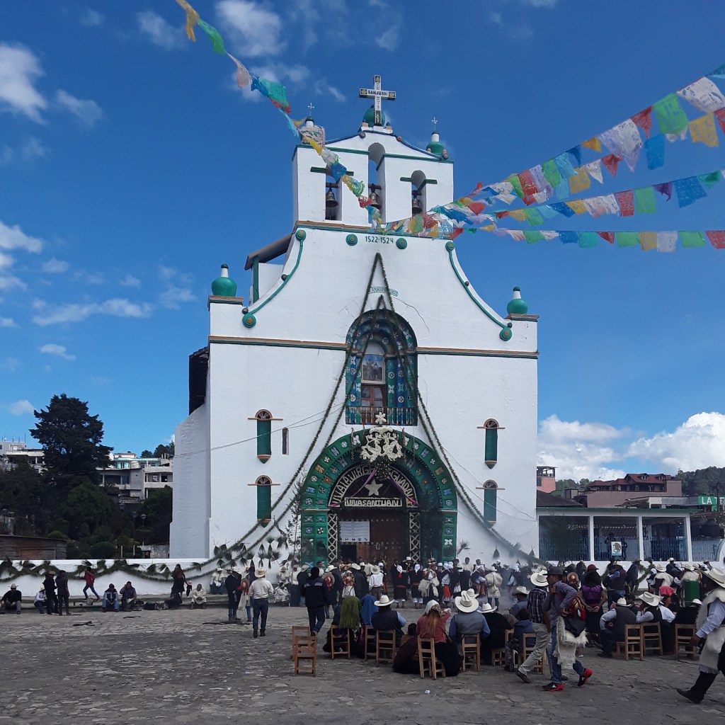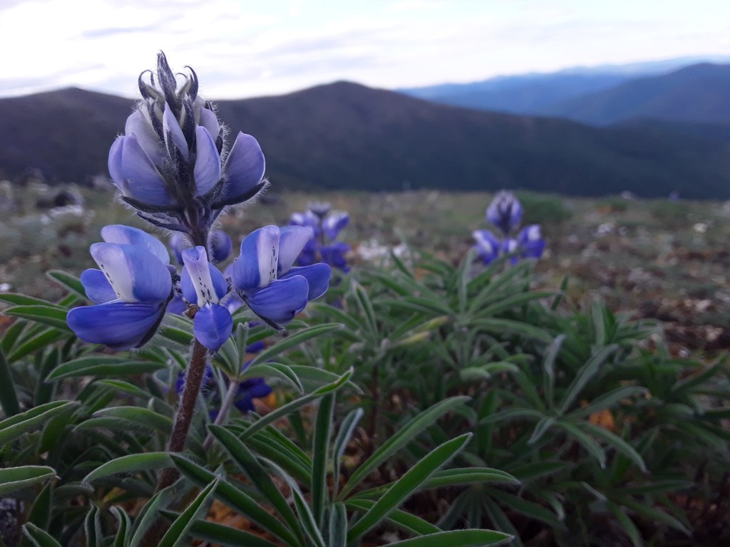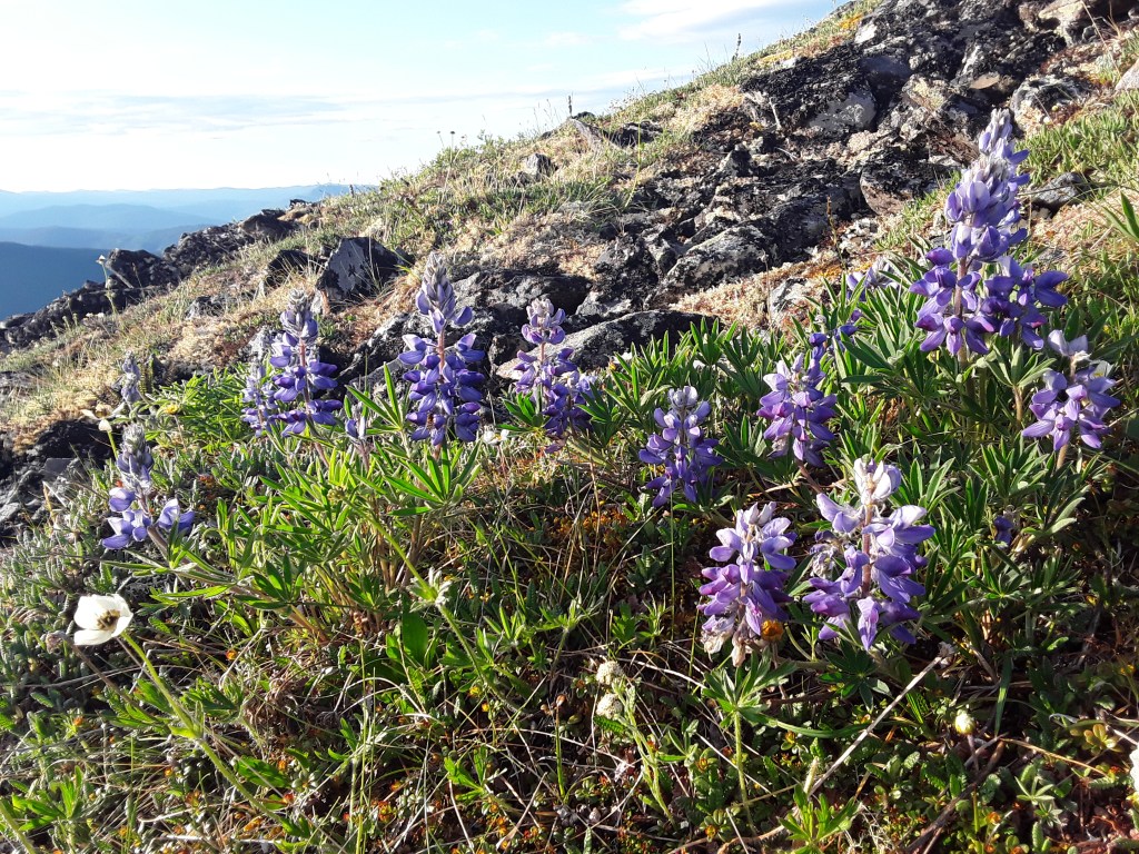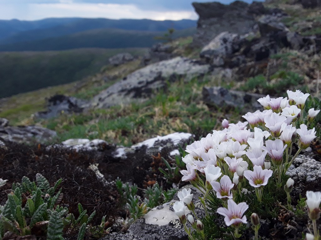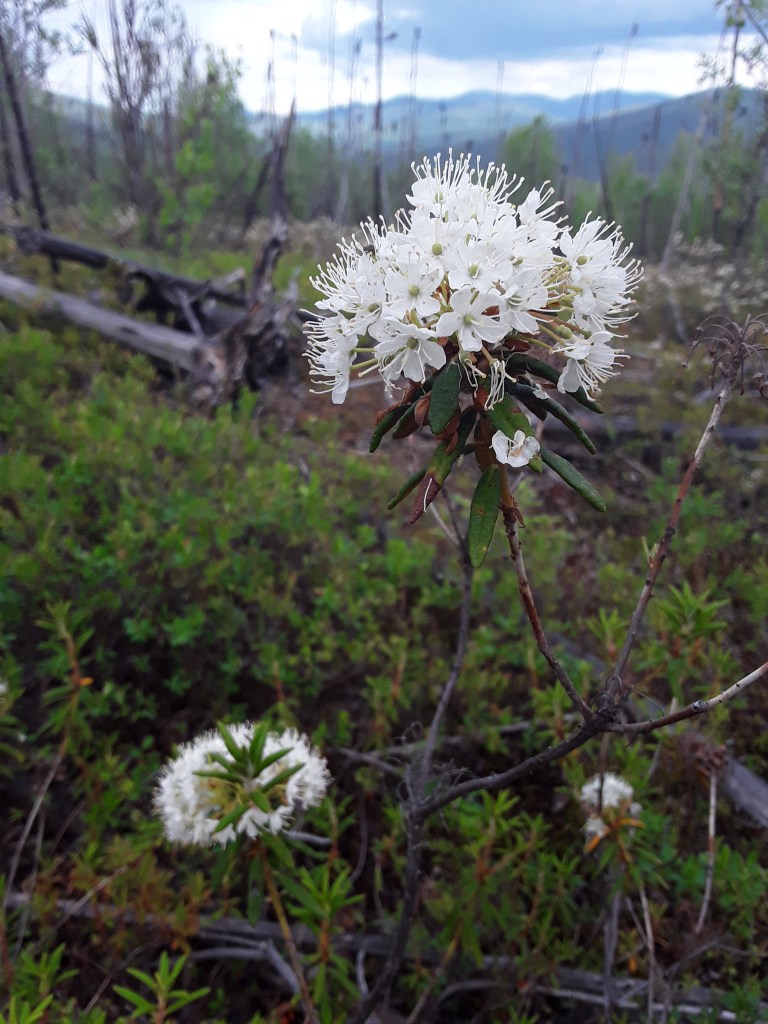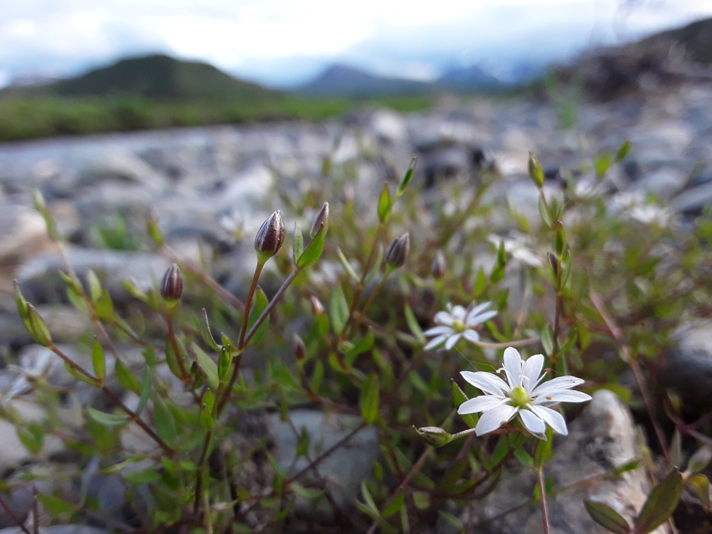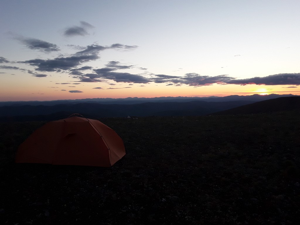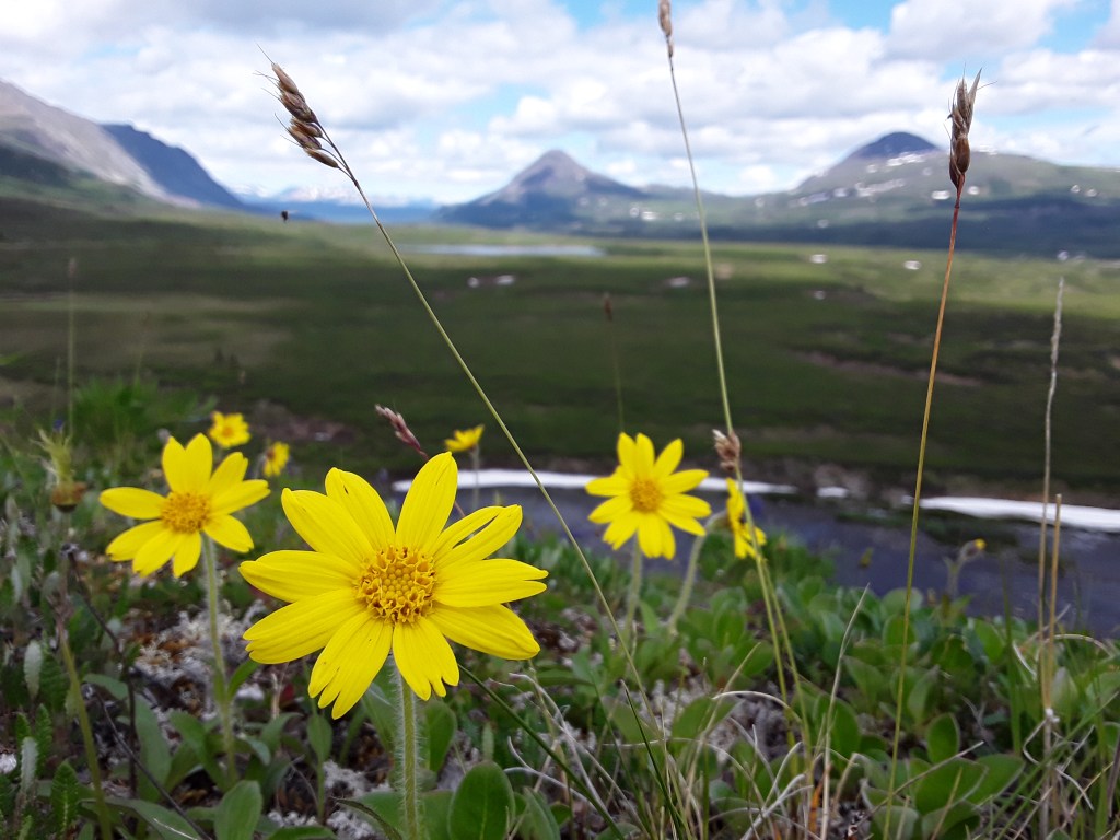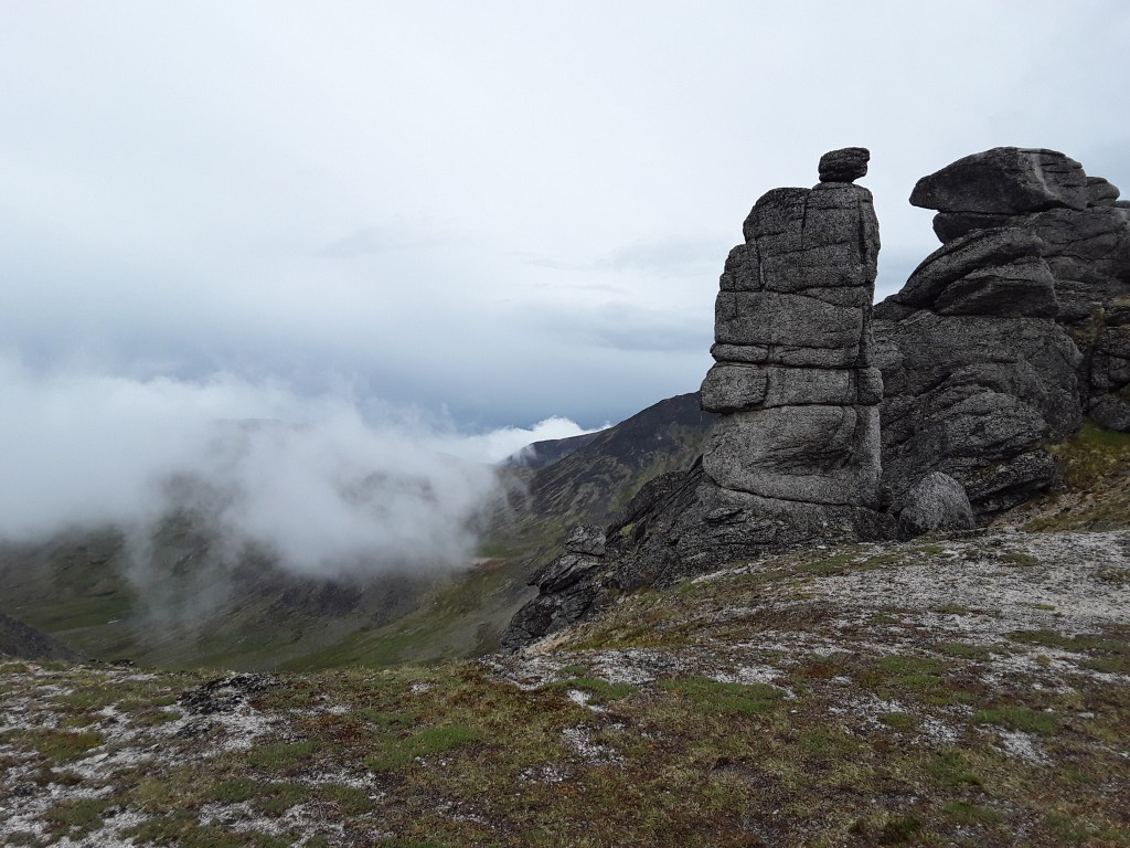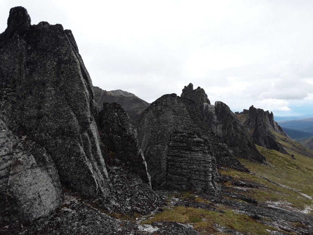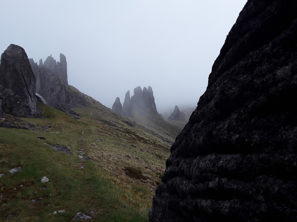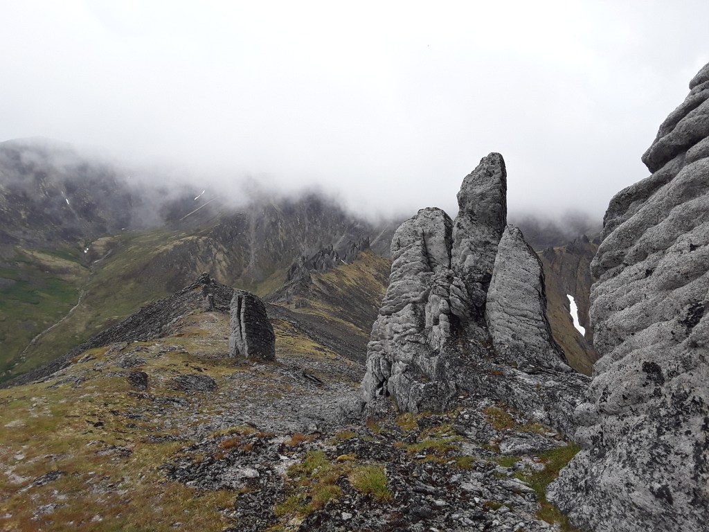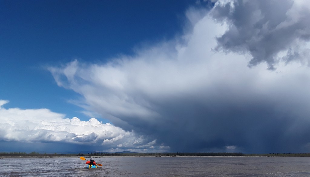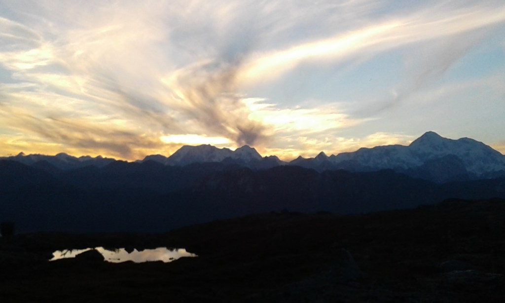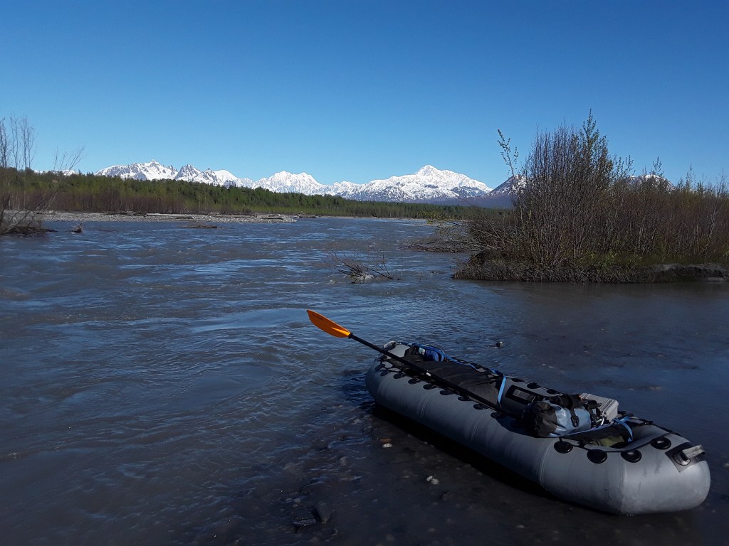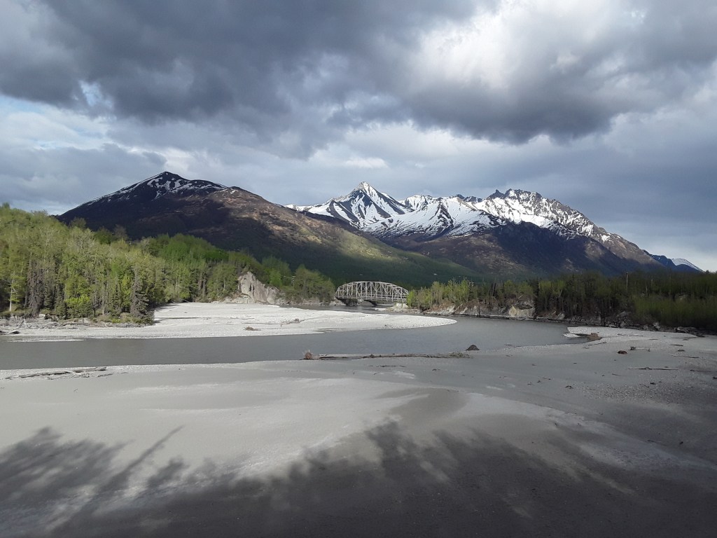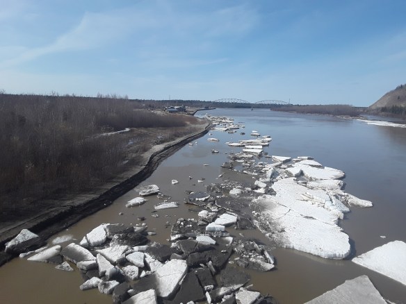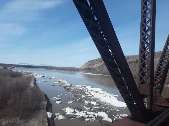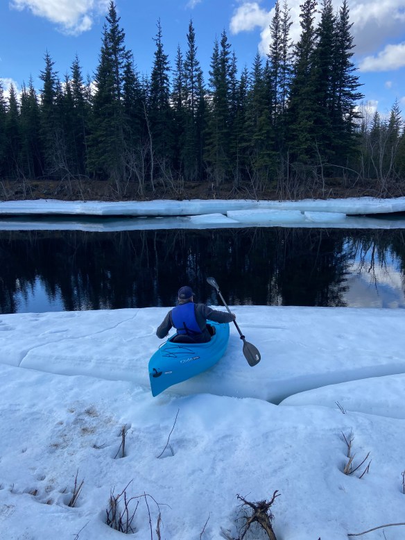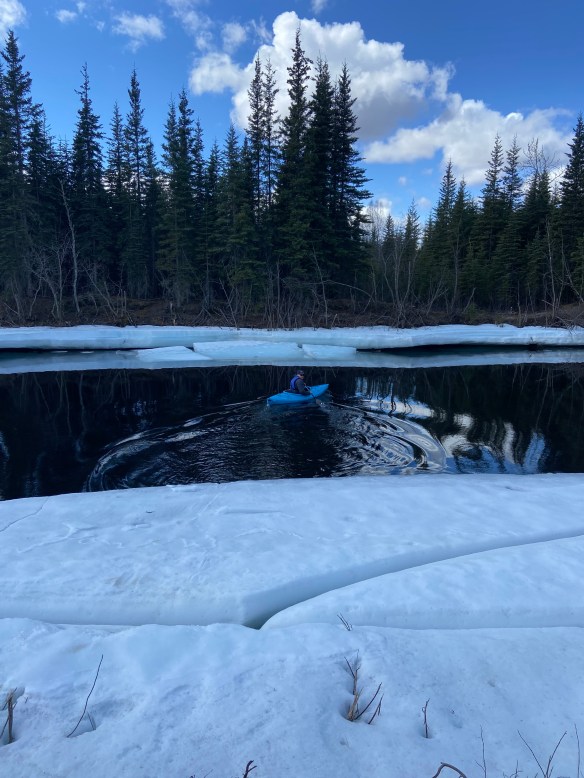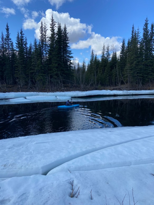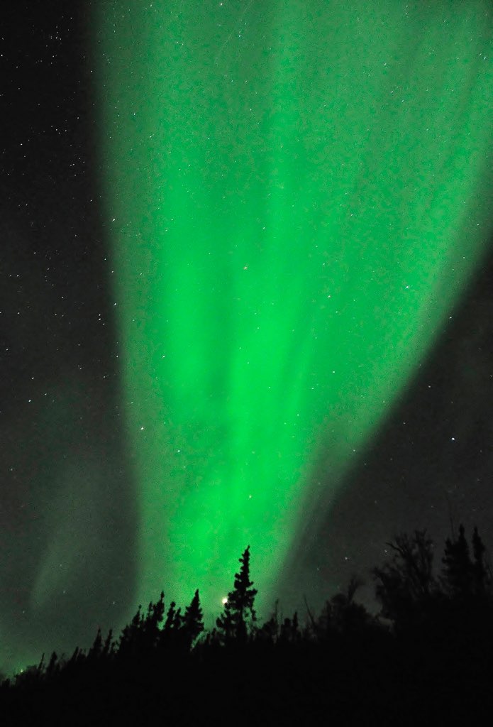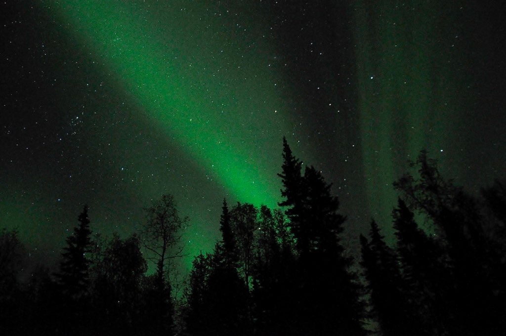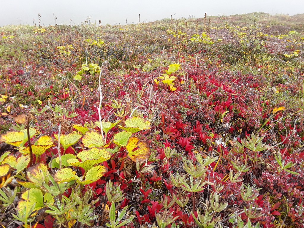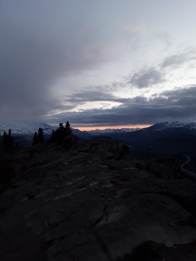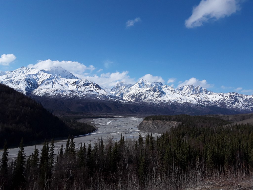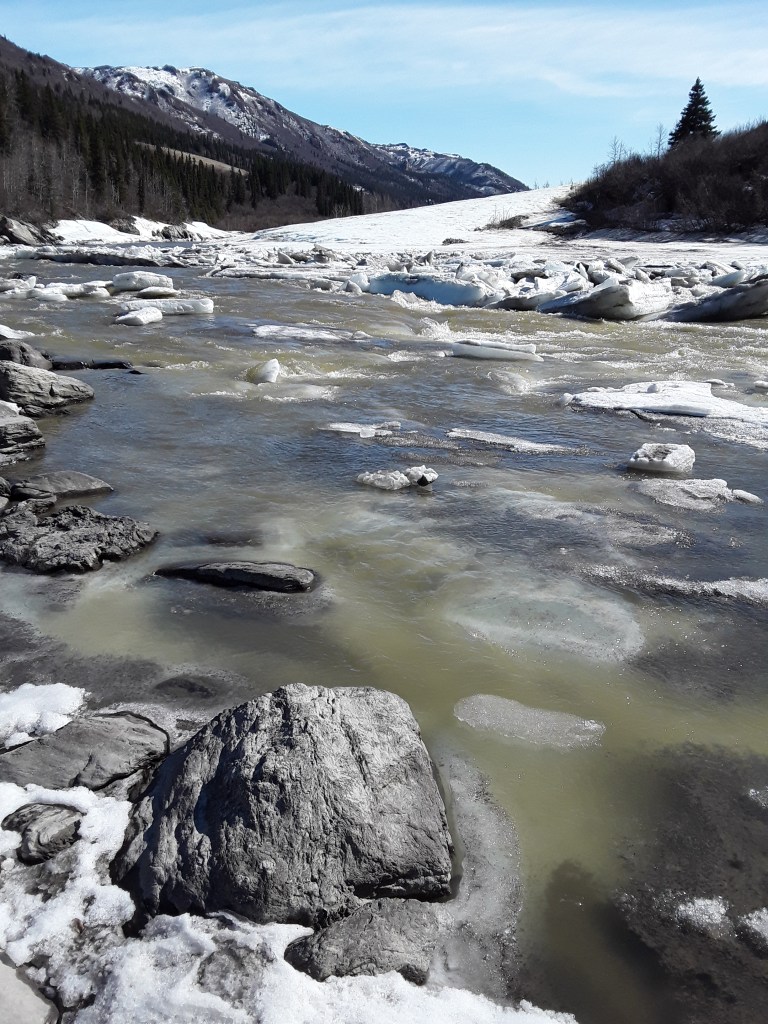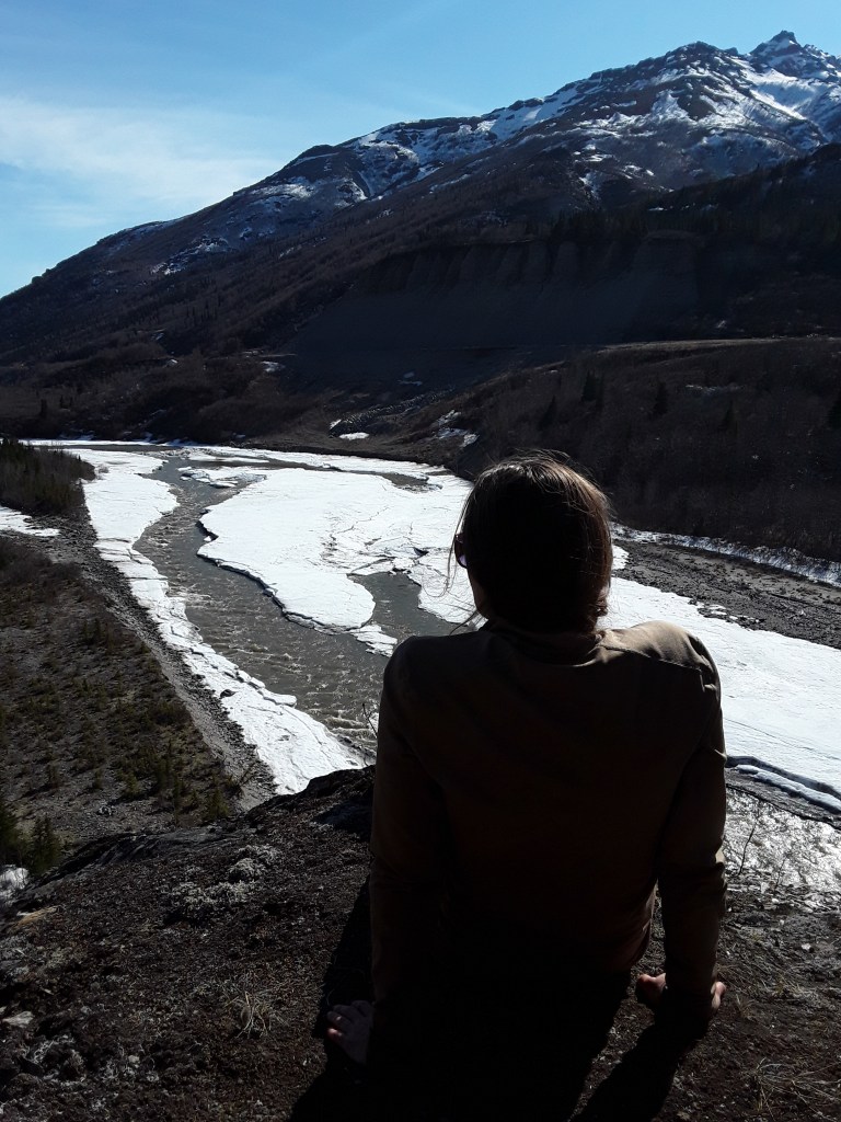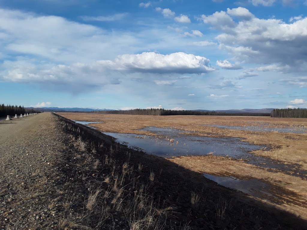
Breakup. Days of sunshine, warming trends, rainfall, and rapidly melting snow. Creeks and rivers transforming from frozen to flowing. Huge blocks of ice splitting apart, fragmented sections of floes meandering downstream only to crash into the next gridlocked section of river where they rise up, spin, and submerge. I have long wanted to witness the phenomenon, and it is quite the sight. Now is the time of shifting seasons, and accompanying thoughts. Dreams of rivers, of drifting current, of past and future adventures, of days spent running rapids and nights sleeping on sandy beaches, the arterial OM of the universe etched in the background.

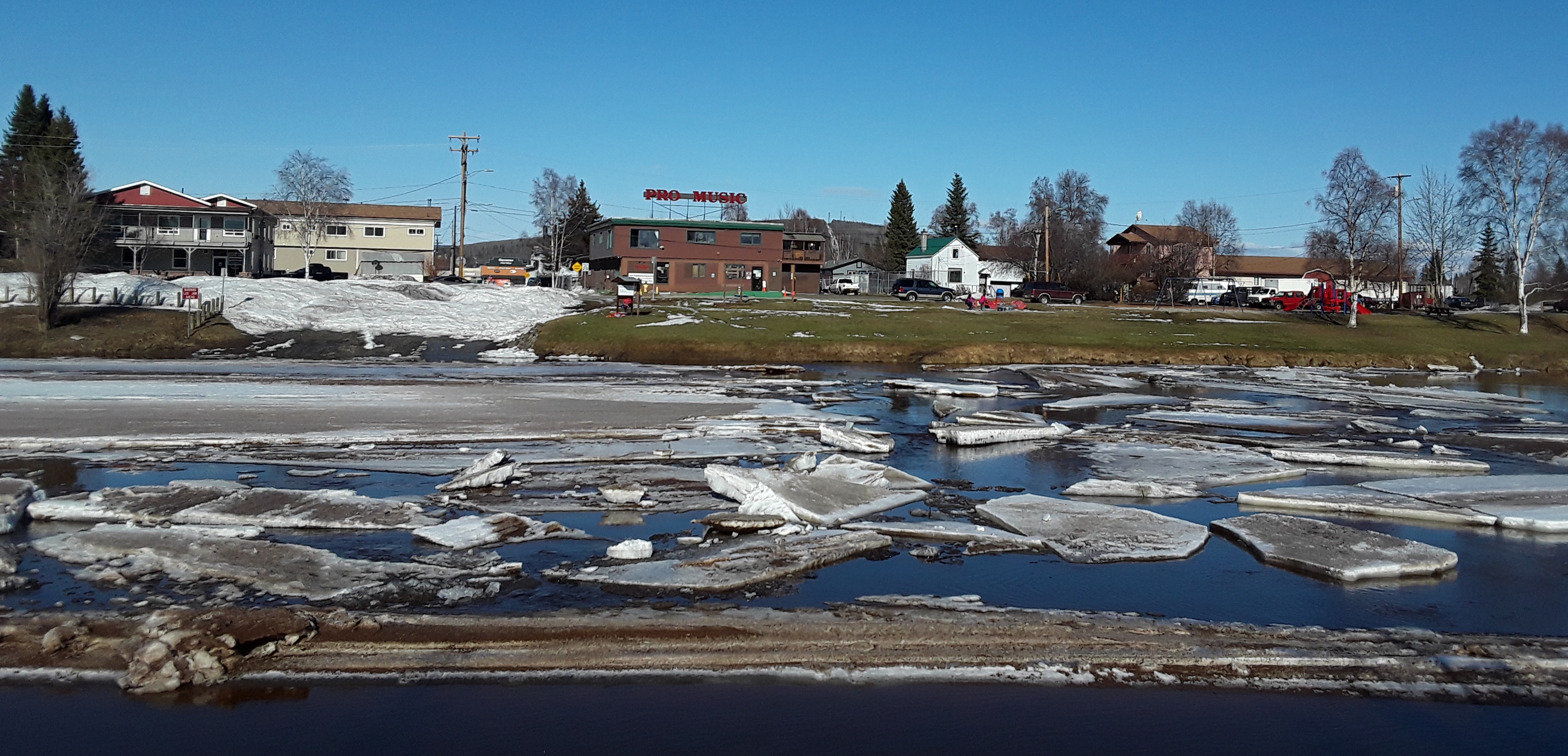
Chena River, Downtown Fairbanks

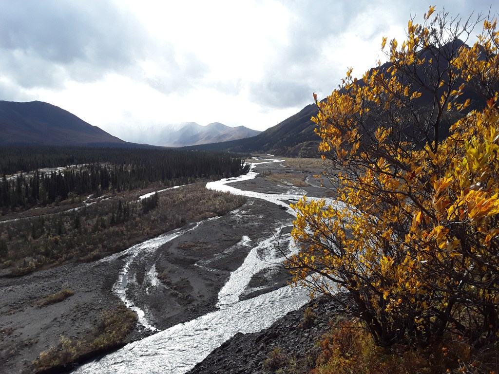
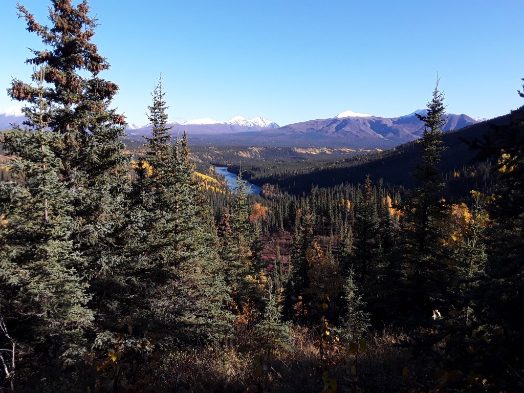
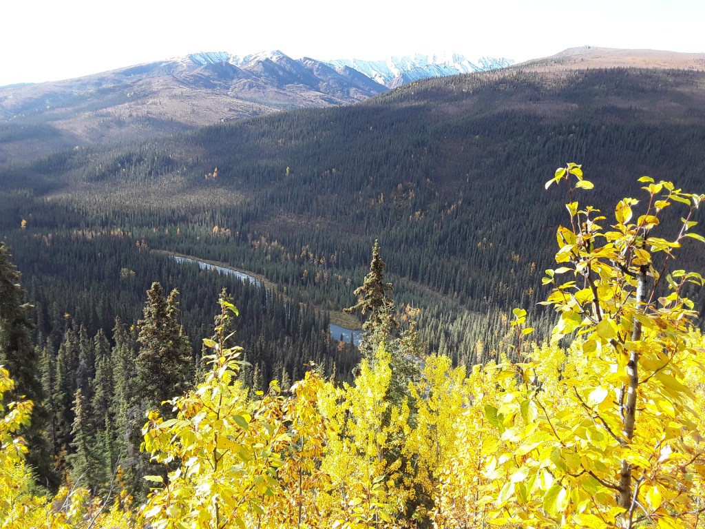
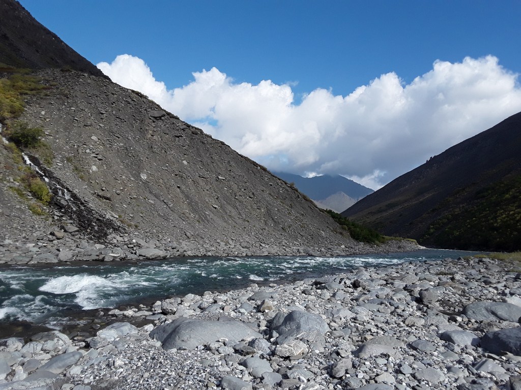
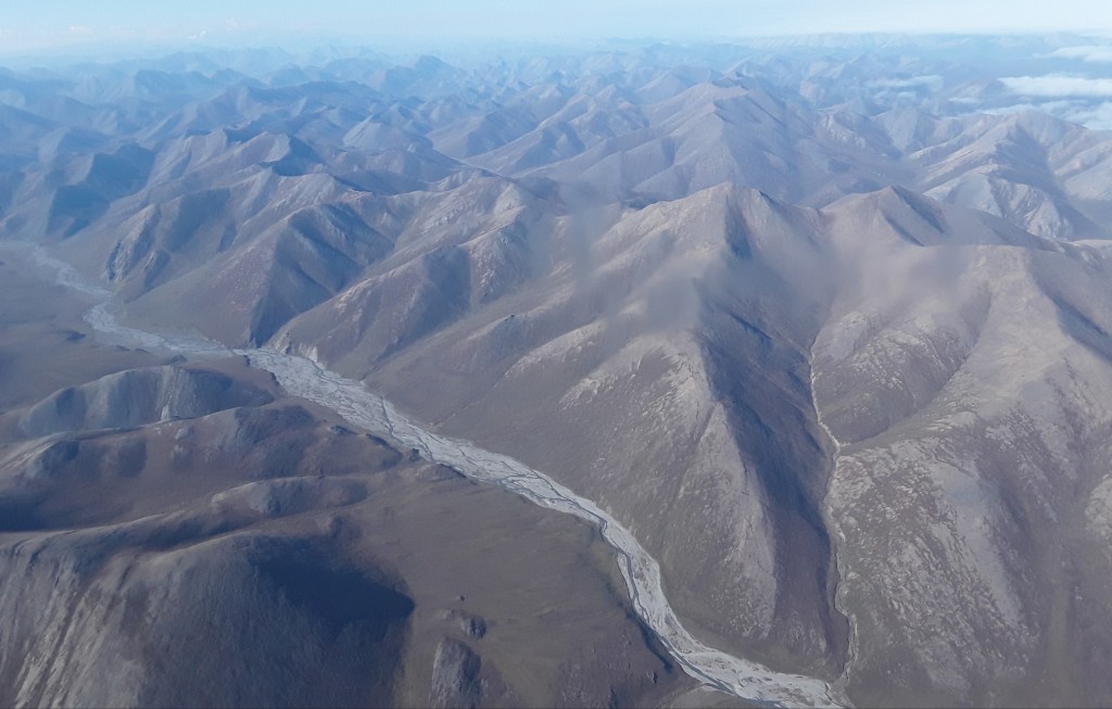
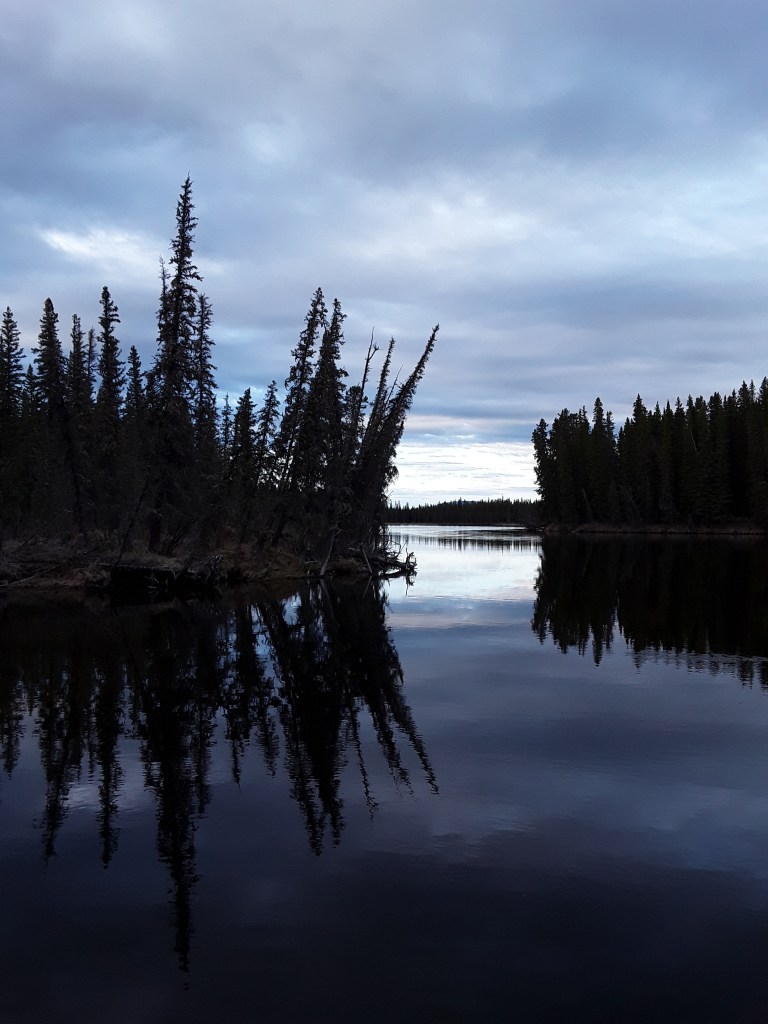
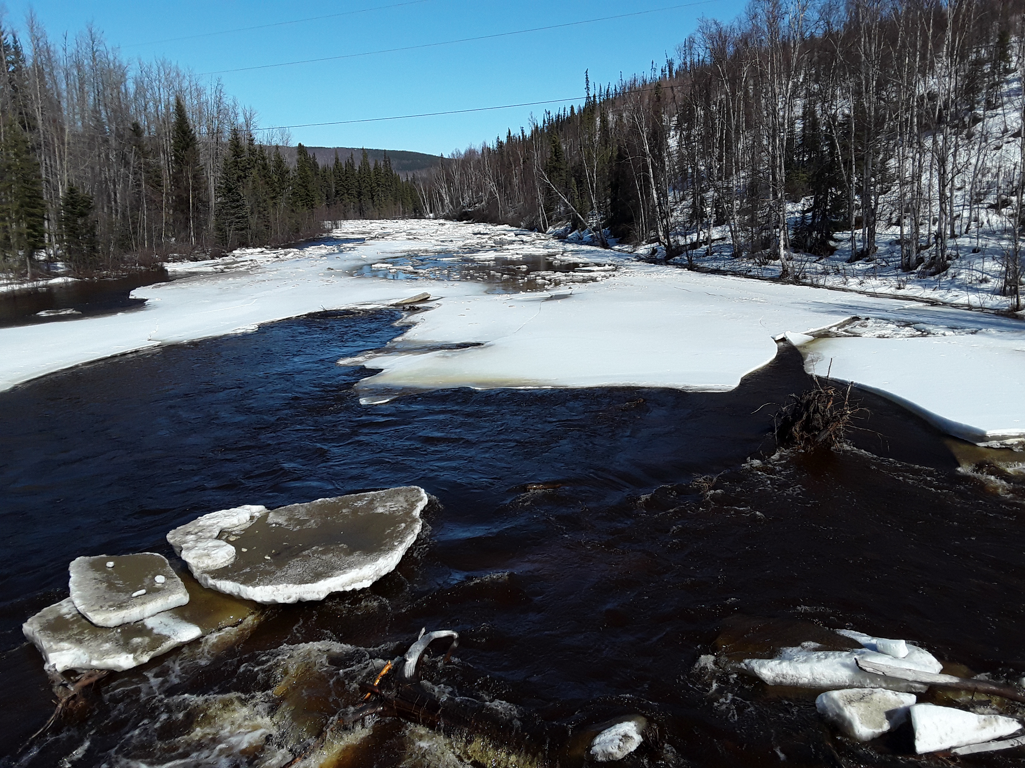
Chatanika River
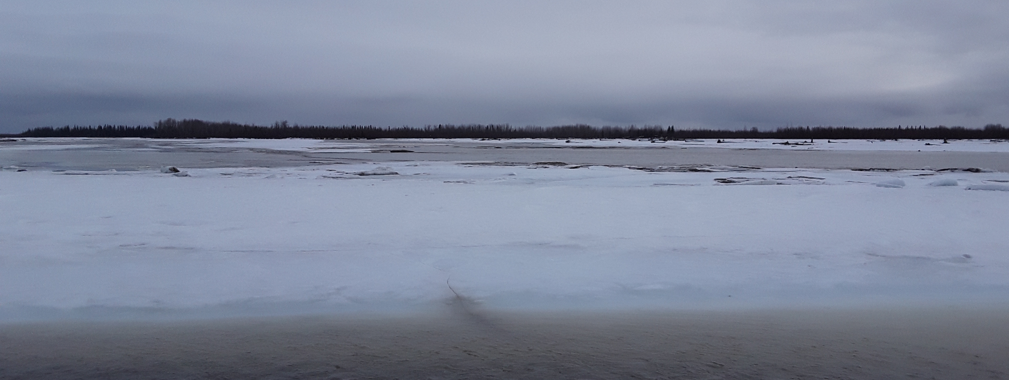
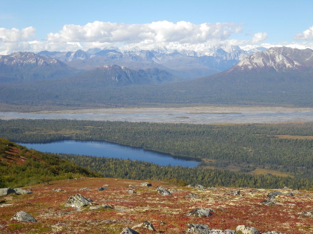
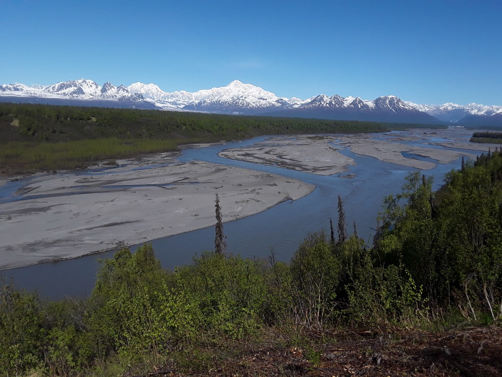
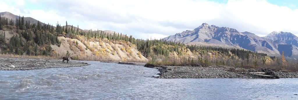
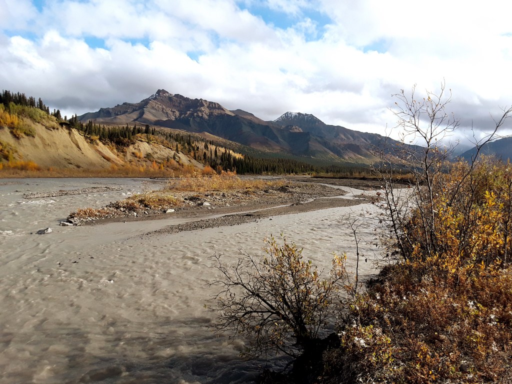
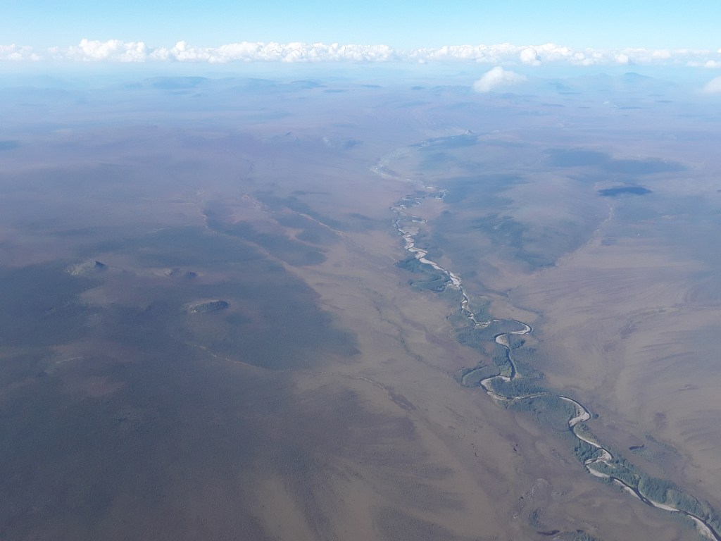
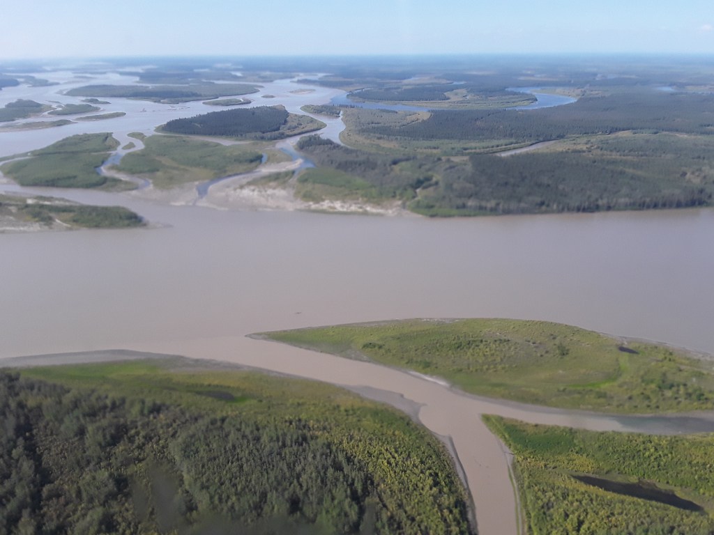
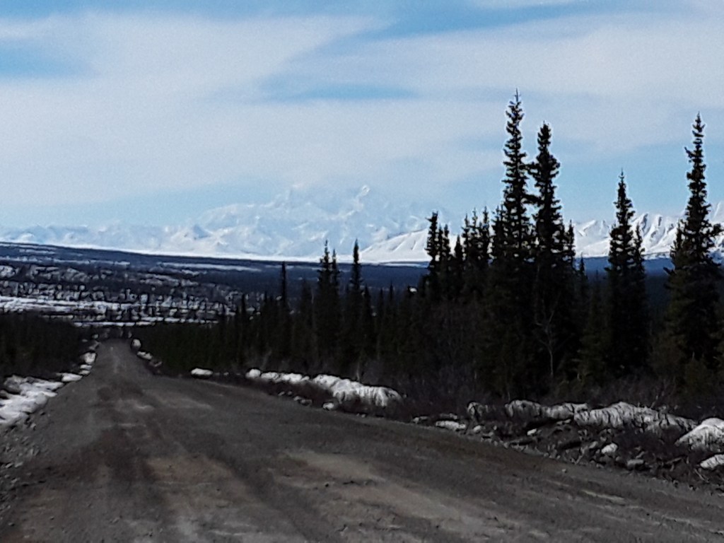
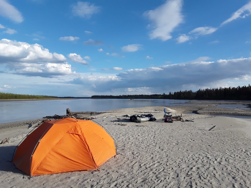
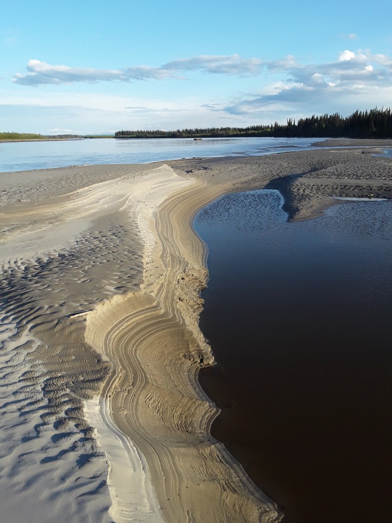
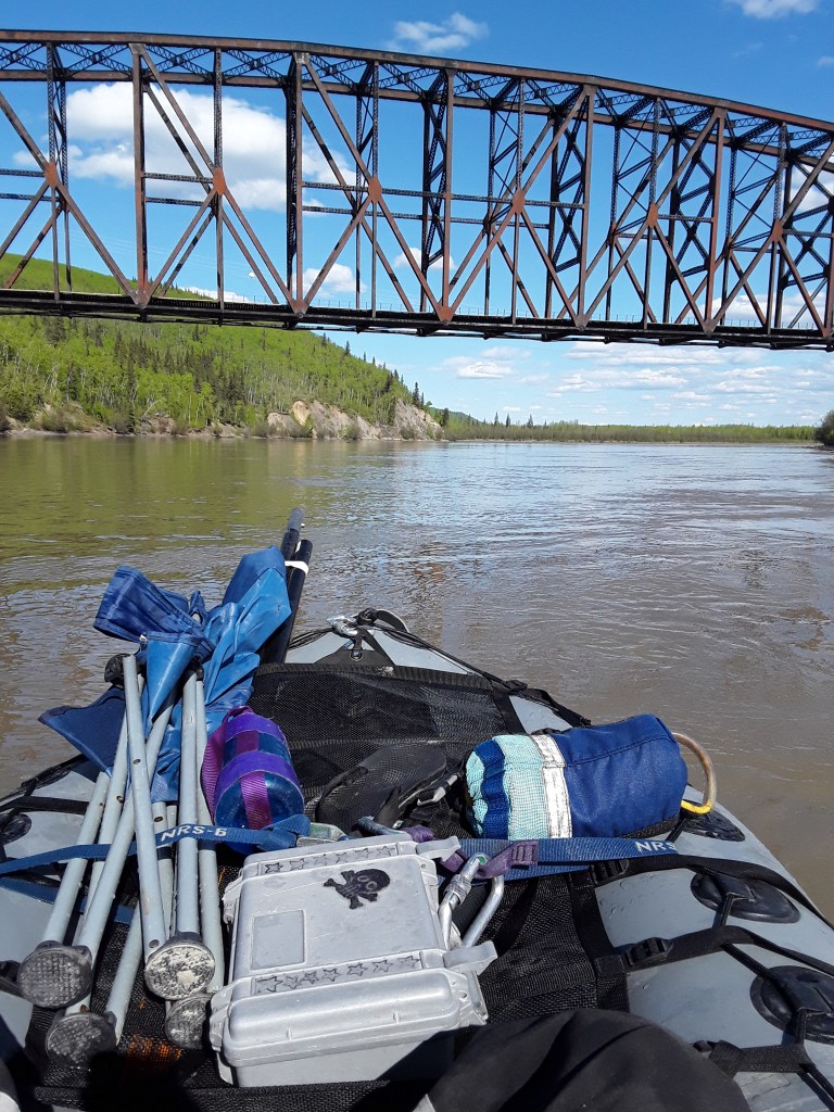
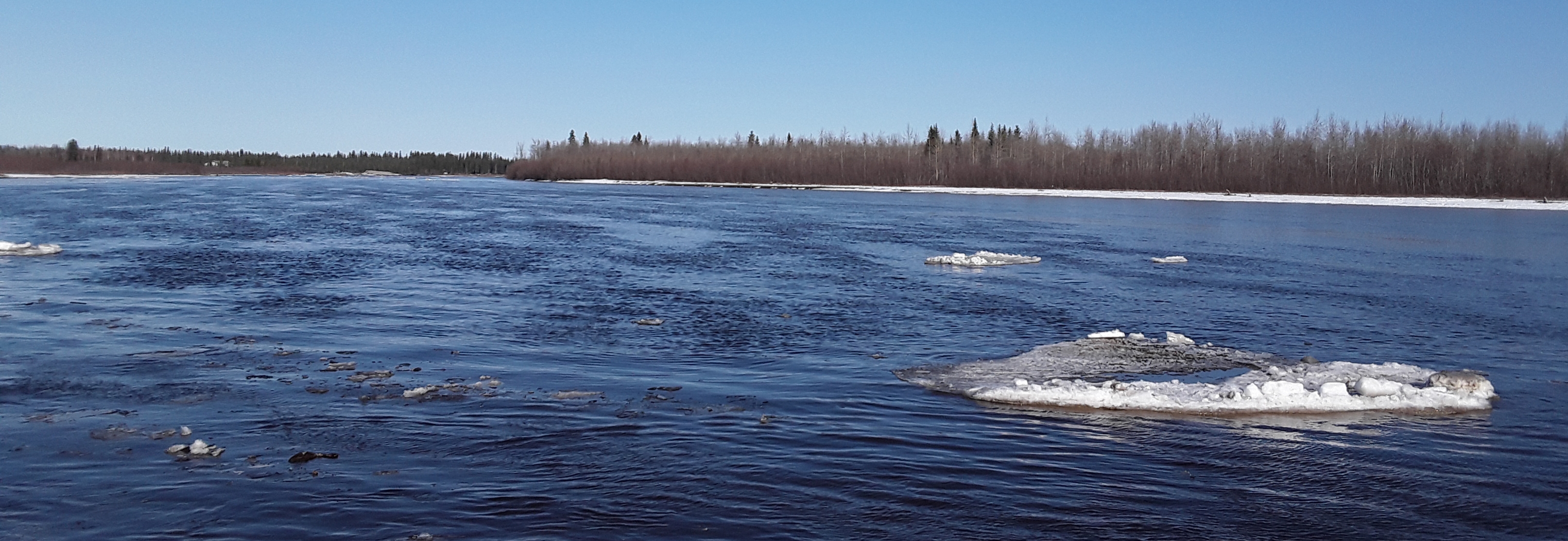
Tanana River

Nenana Ice Classic an Alaskan tradition since 1917. Ice melts, tripod falls, winning guessers as to minute, hour, and day win upwards of $300,000.
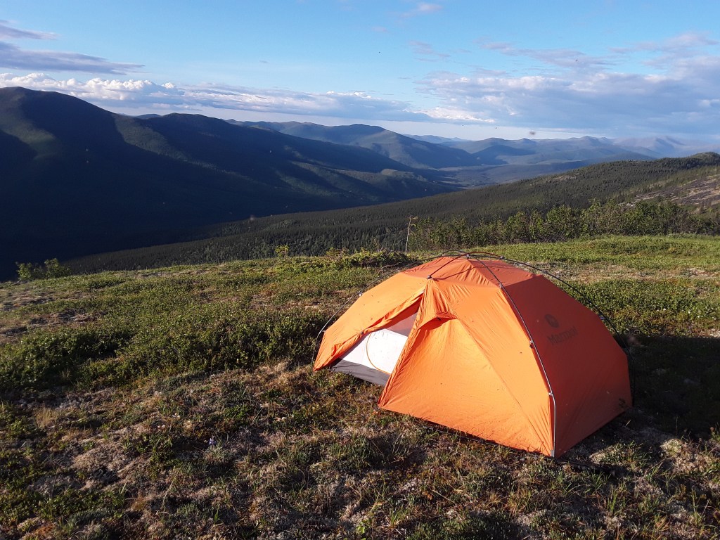
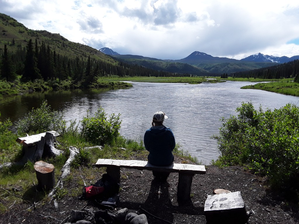
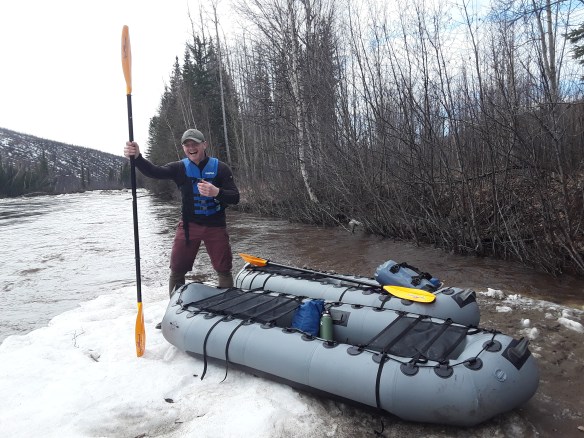
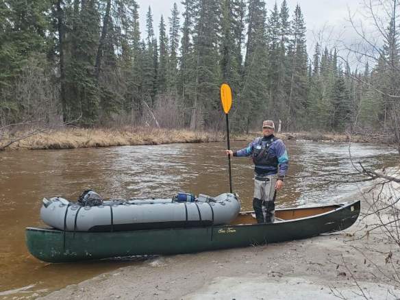
Back Upstream. Rivers have been part of my life for a long time now, and I hope they always will be. If I lead even one trip this summer, which I certainly hope to, it will represent my 20th season as a guide; and even if I don’t, I will almost certainly be floating new sections of streams, and spending many summer nights camped alongside them. There is no greater feeling of freedom and peace and contentment than traveling for miles and days down a moving river.
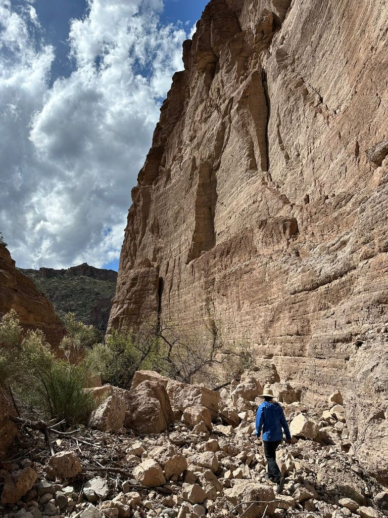
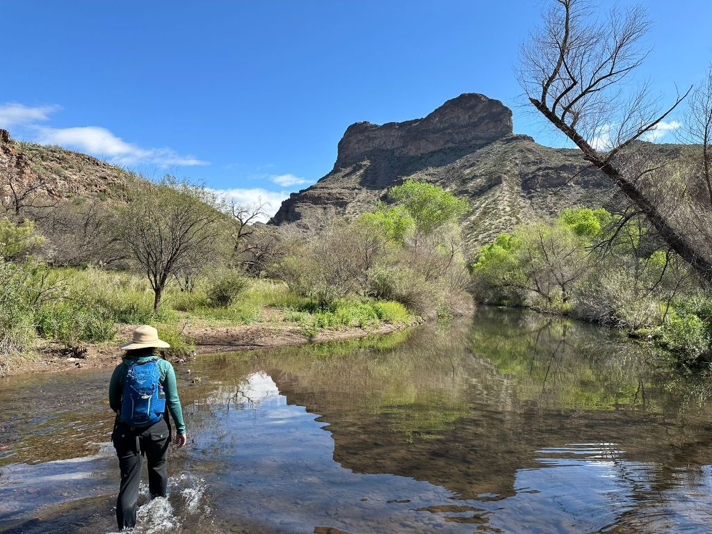
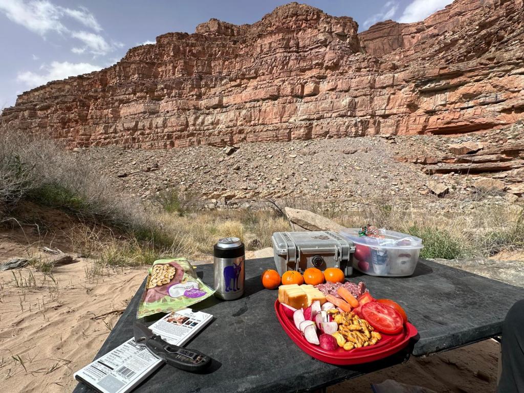
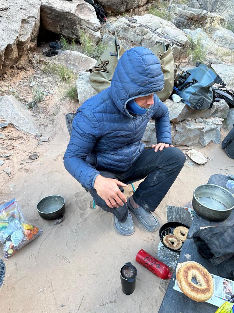
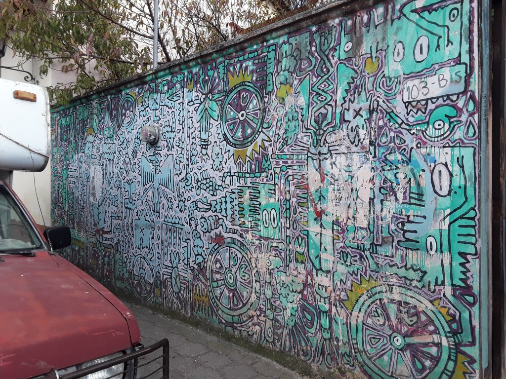
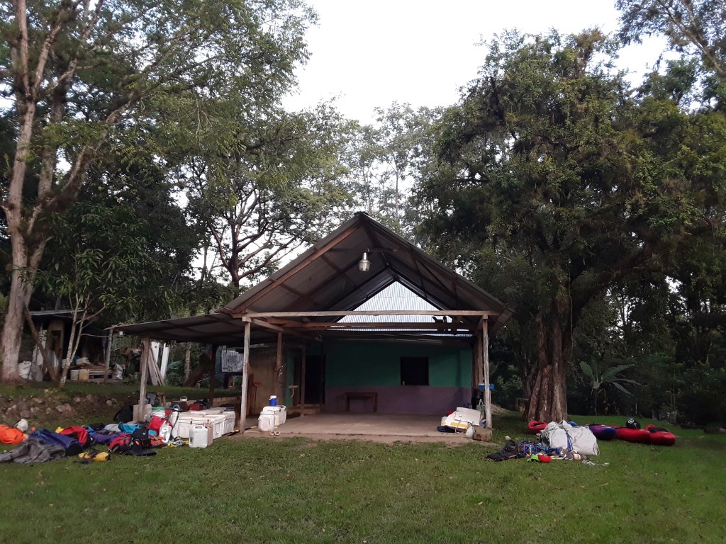
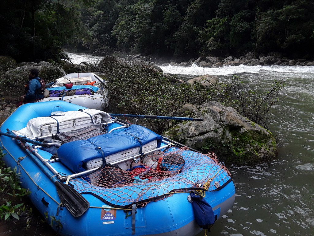
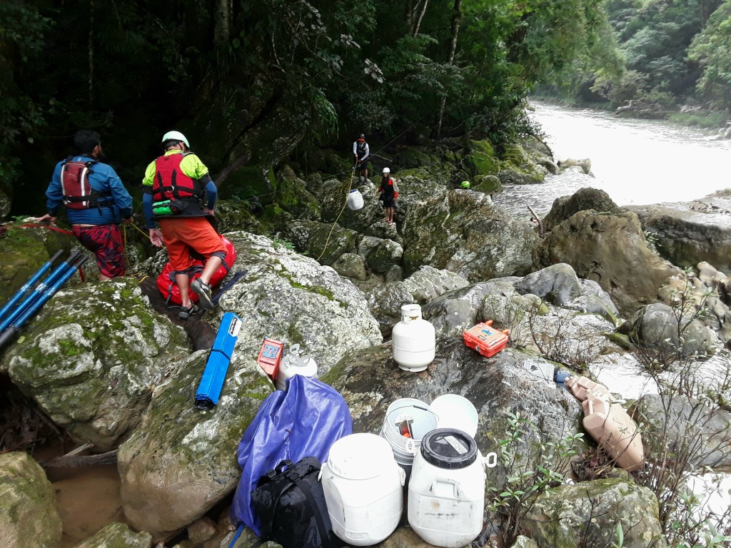
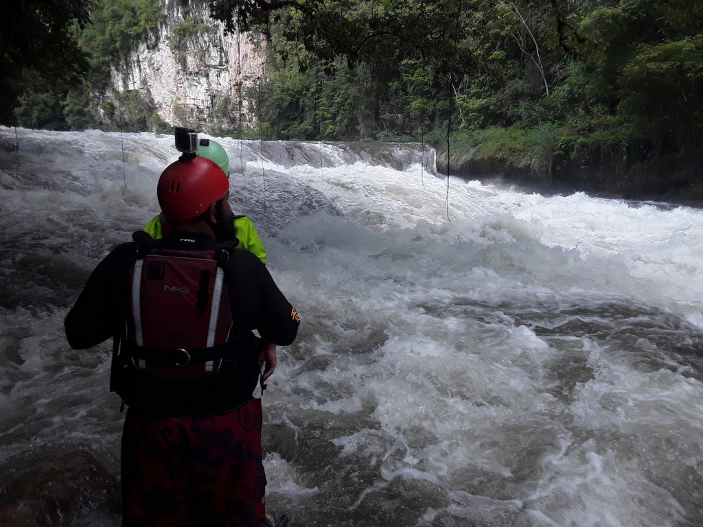
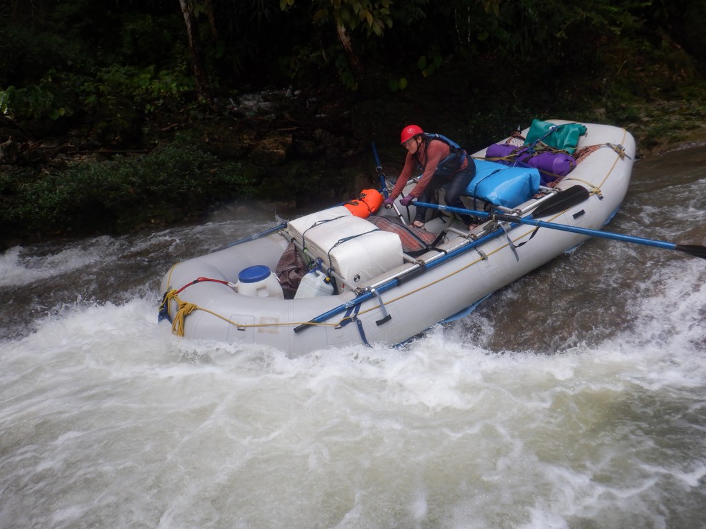
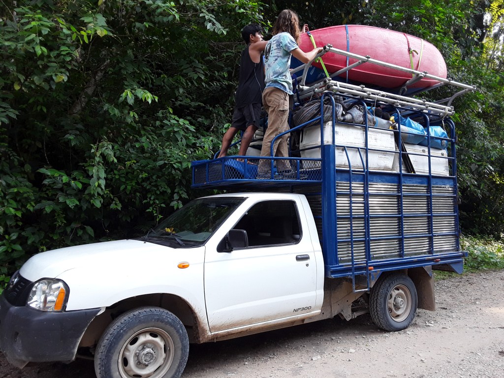
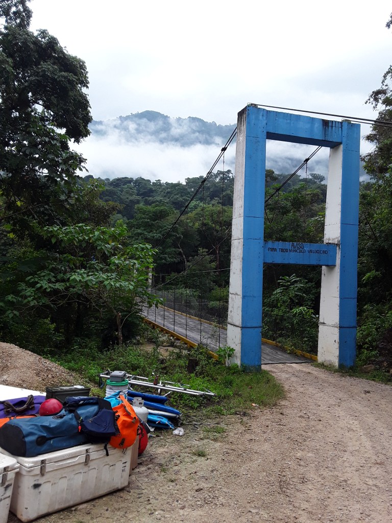
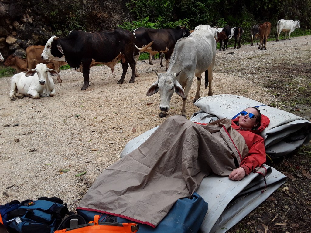
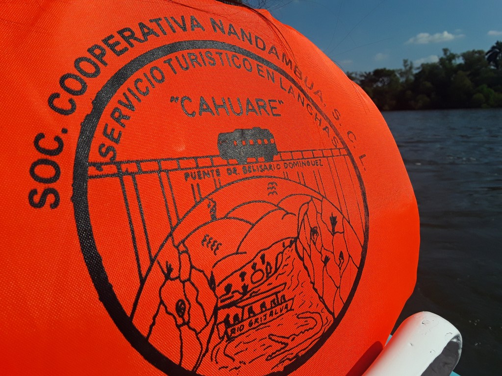
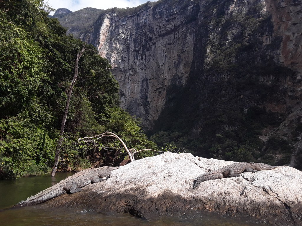
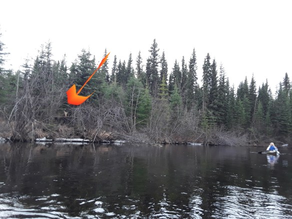
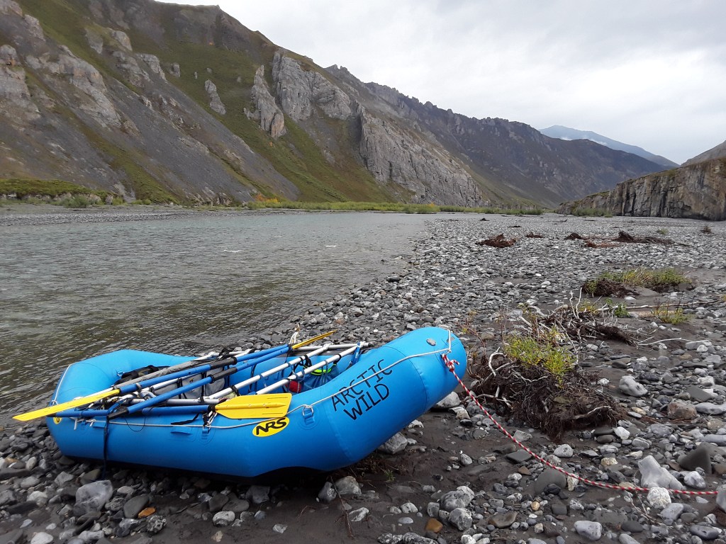
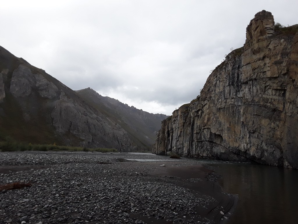
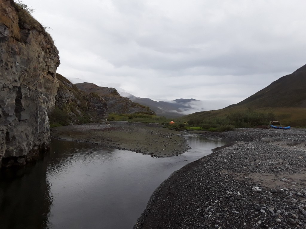
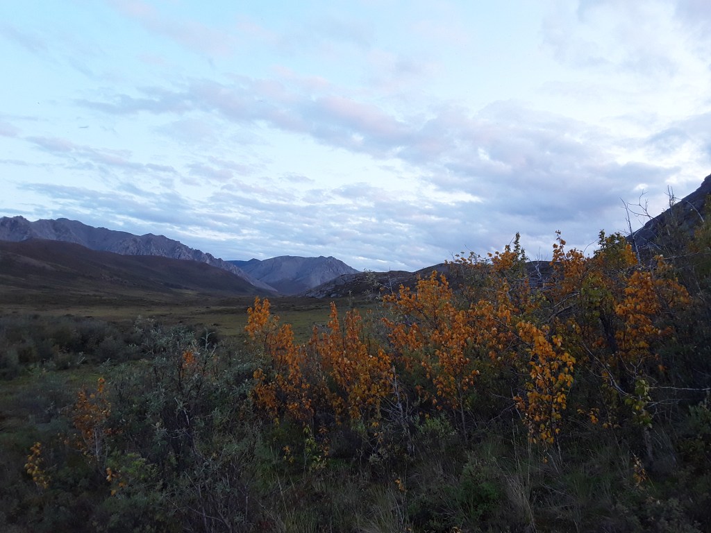
My life has consisted of so many days, months, and years with rivers as a focus that it would be impossible to account for all of the positive experiences that guiding as an occupation, and running rivers as a passion, have contributed to my individual experience as a human being. I really can’t imagine what my life might be like had I done anything but. I thought it would be entertaining then, while waiting for everything to come back to life this spring, to briefly revisit a few of those places and times. To pause for momentary reflection, a look back upstream. The following words and photos represent but a sampling of some of the rivers I have been fortunate enough to work on and travel down throughout those years, mainly chosen simply because they’re pictures I happen to have saved to this computer. My apologies for the lack of photo credits, at this point I have only vague recollections as to who took many of the pictures. A few other trip accounts and photos, from Idaho, Alaska, New Mexico, Texas, and more, can be found on the Rivers page as well.
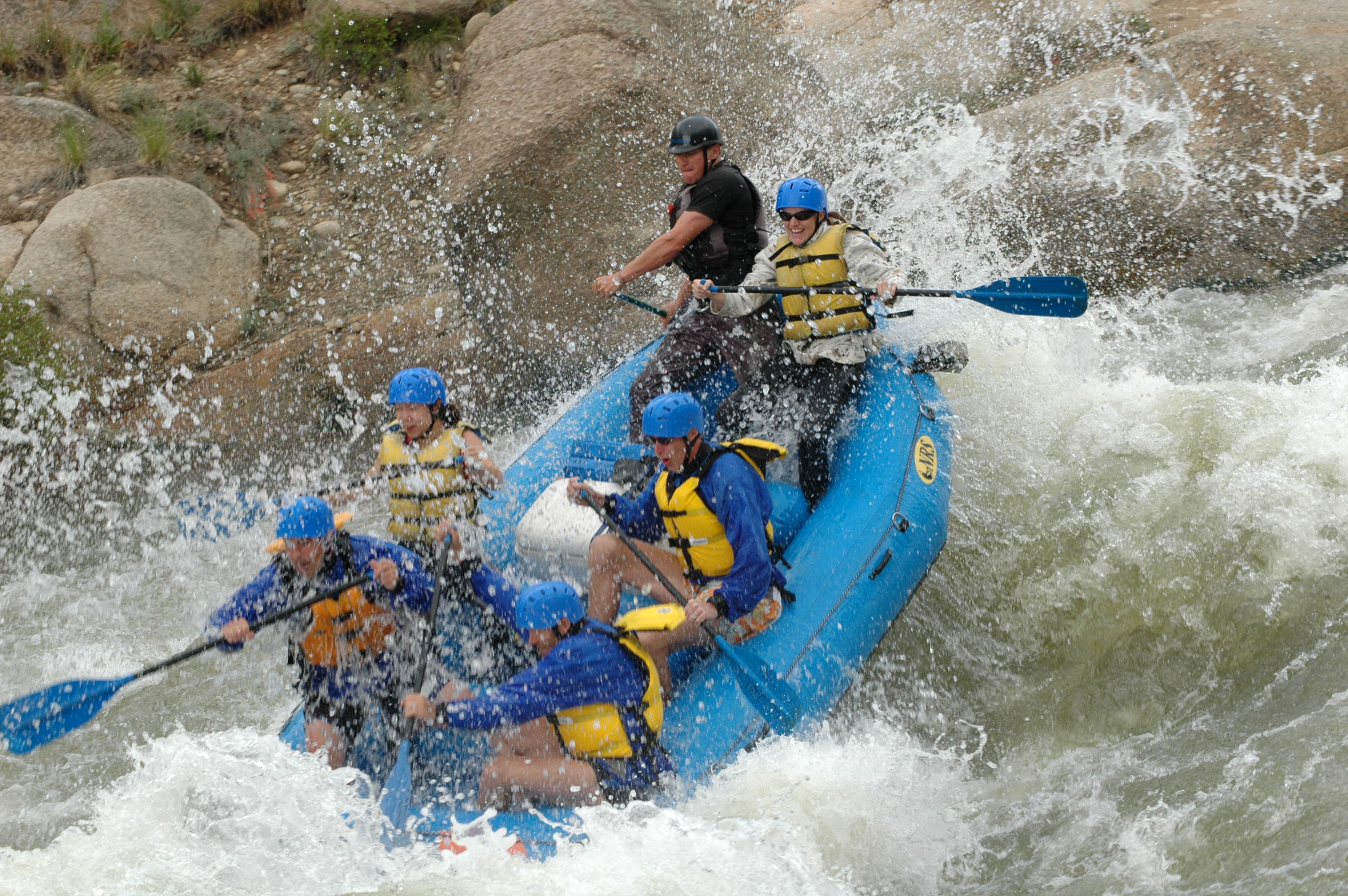
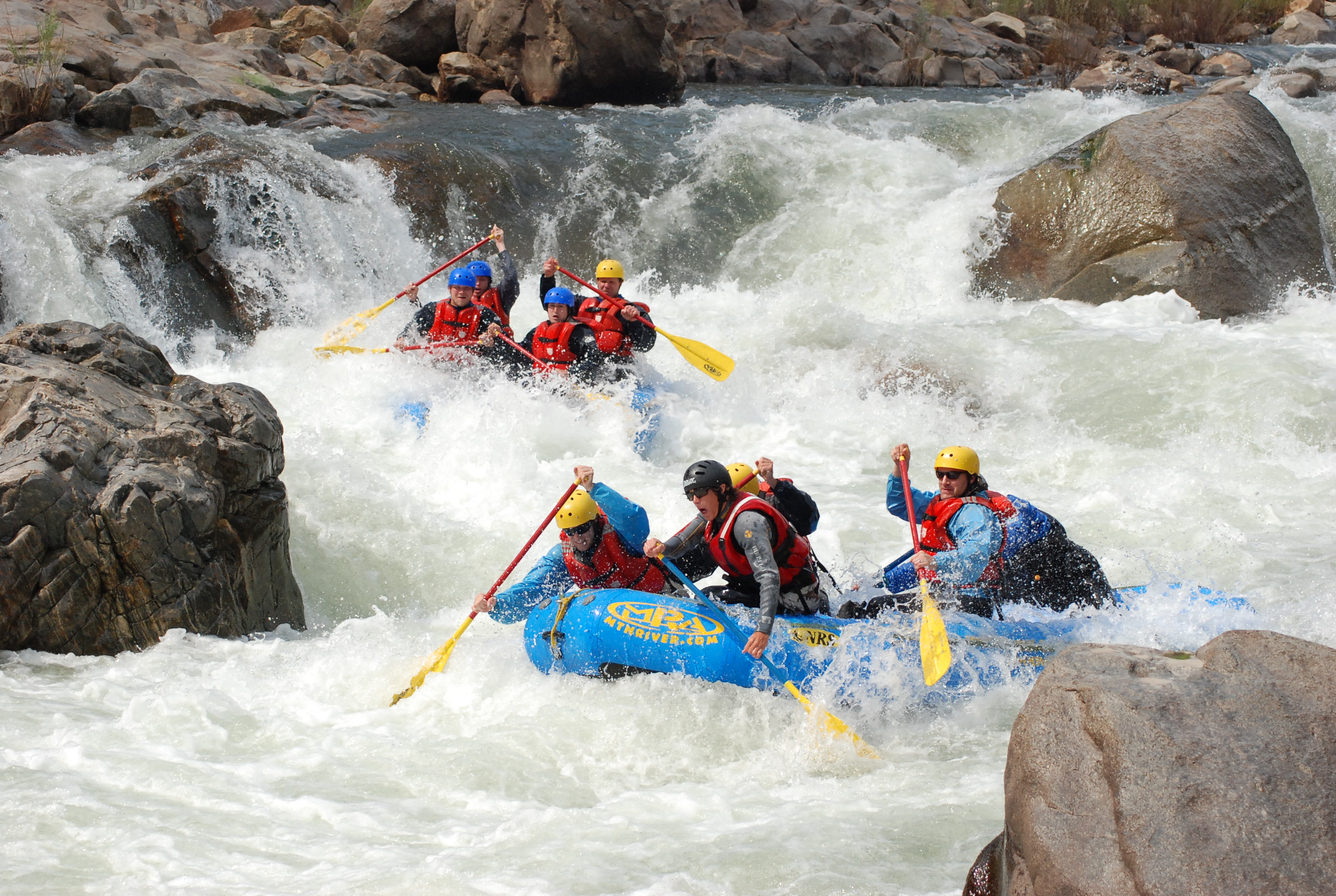
Arkansas River, Colorado. The first rafting trip I ever went on was the Brown’s Canyon section of the Arkansas, but it took me several years to piece this information together once I became a guide later on. I went as a commercial customer, and mostly remember a cocky college kid at the oars alternating all day between talking about himself and telling us what lousy paddlers we were. Oddly enough, I didn’t really think the experience was all that fun (which is why it took so long to figure out what river we’d gone down), and have no idea what prompted me a couple years later to attend training and become a guide myself. But that guide school, which included a six-day trip on the Dolores River, followed by a couple summers of taking customers down the mellow town stretch of the Animas River in Durango, Colorado, sealed my fate for the next couple of decades. Later on, I ended up working several seasons on the upper stretches of the Arkansas, one of the most rafted rivers in the world, and spent countless days alternating between talking about myself and telling people what lousy paddlers they were.
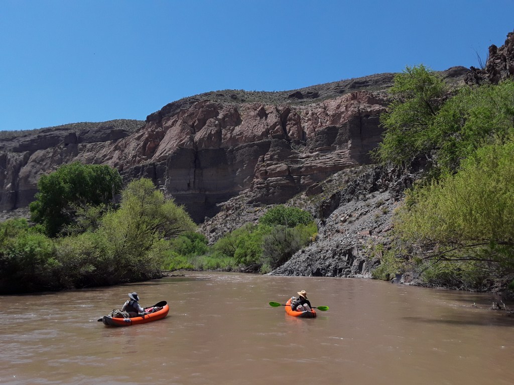
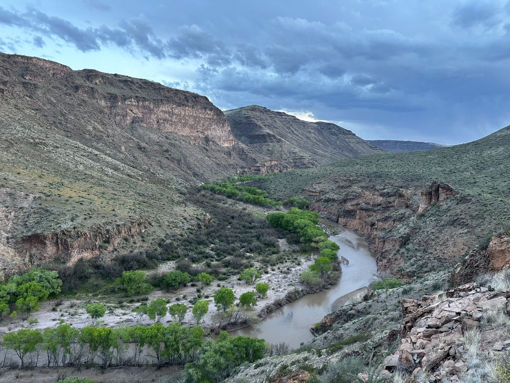
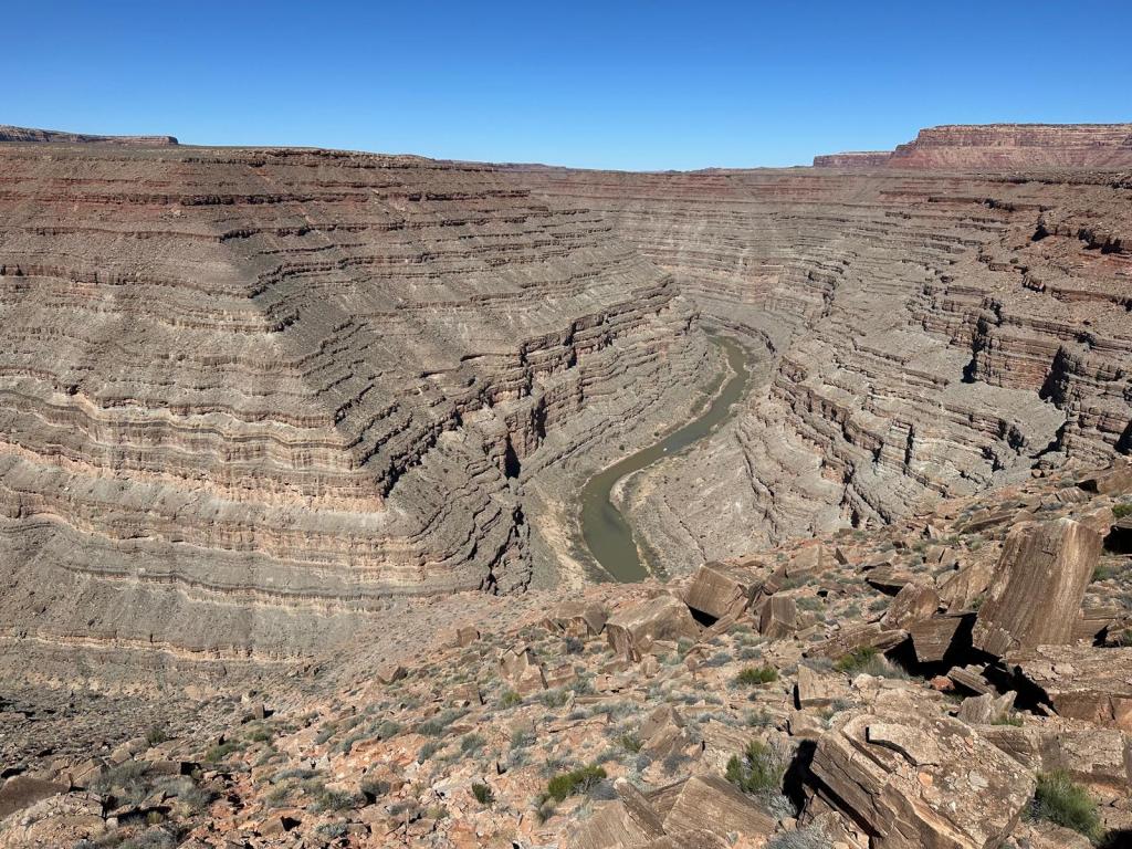
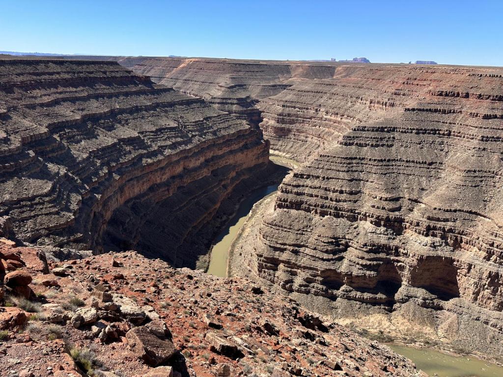
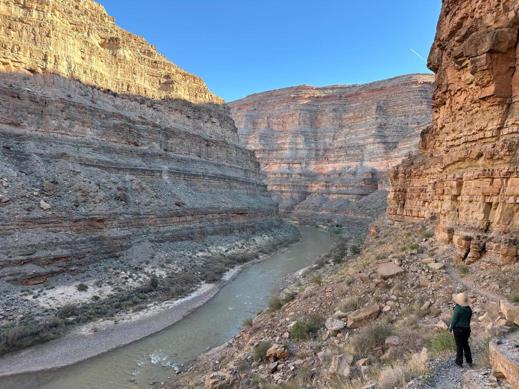
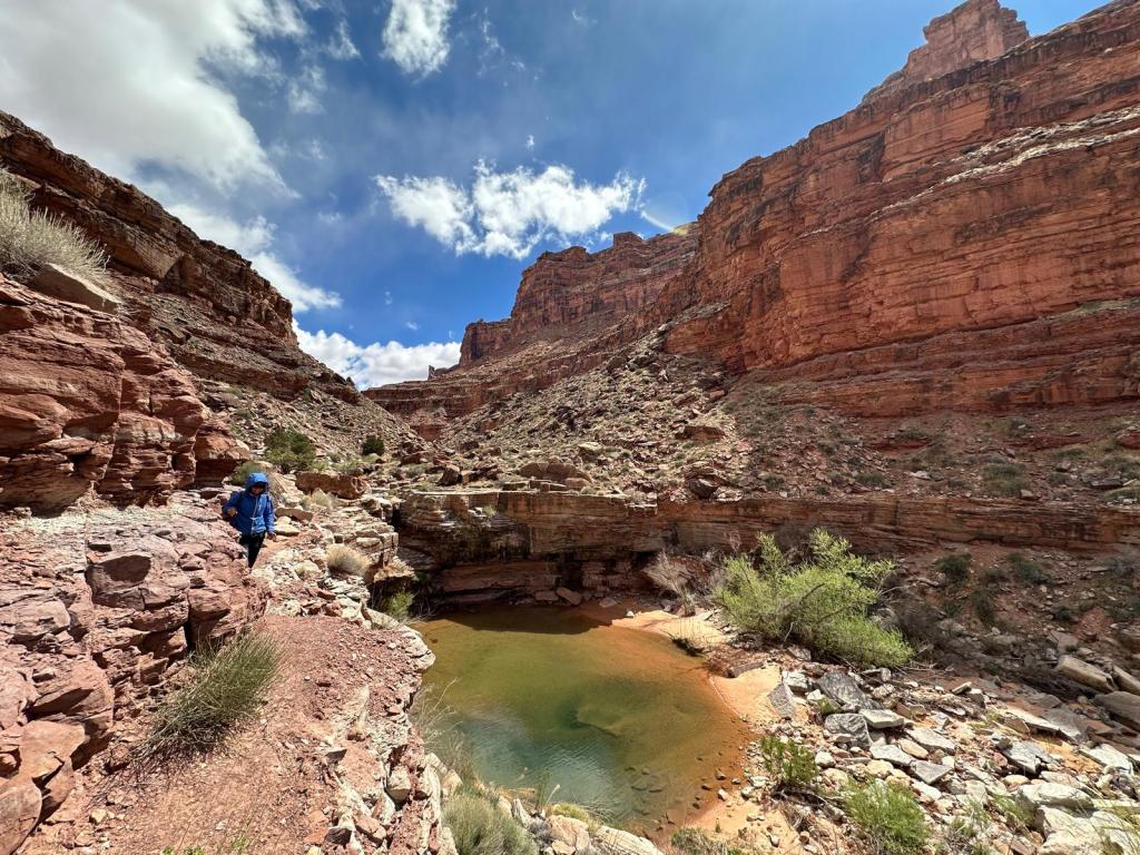
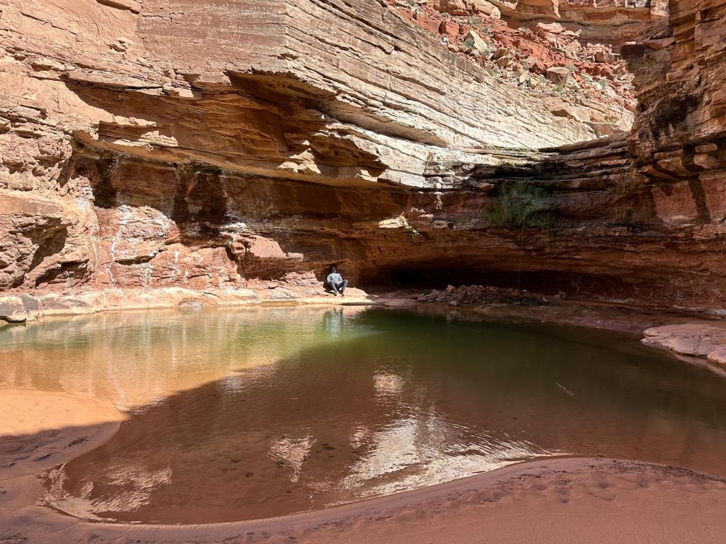
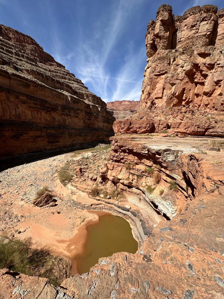
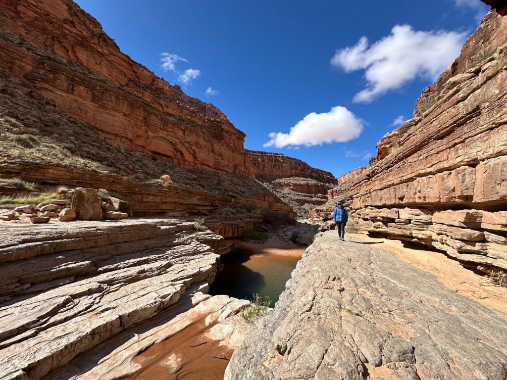
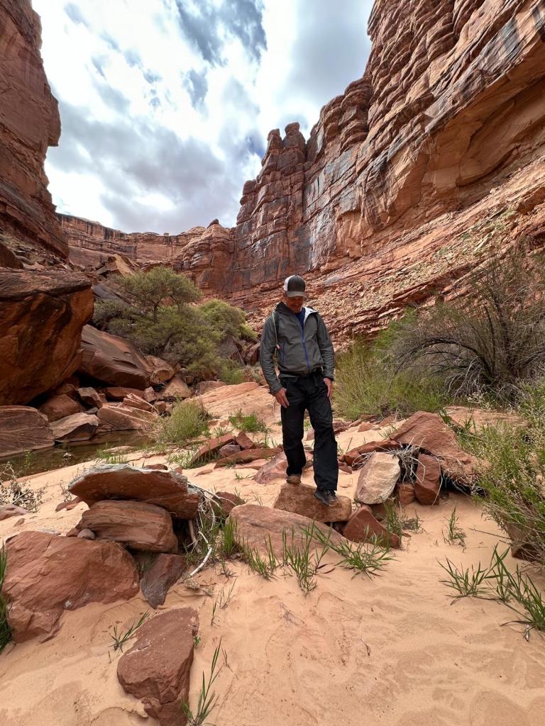
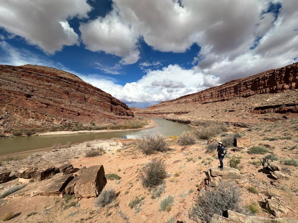
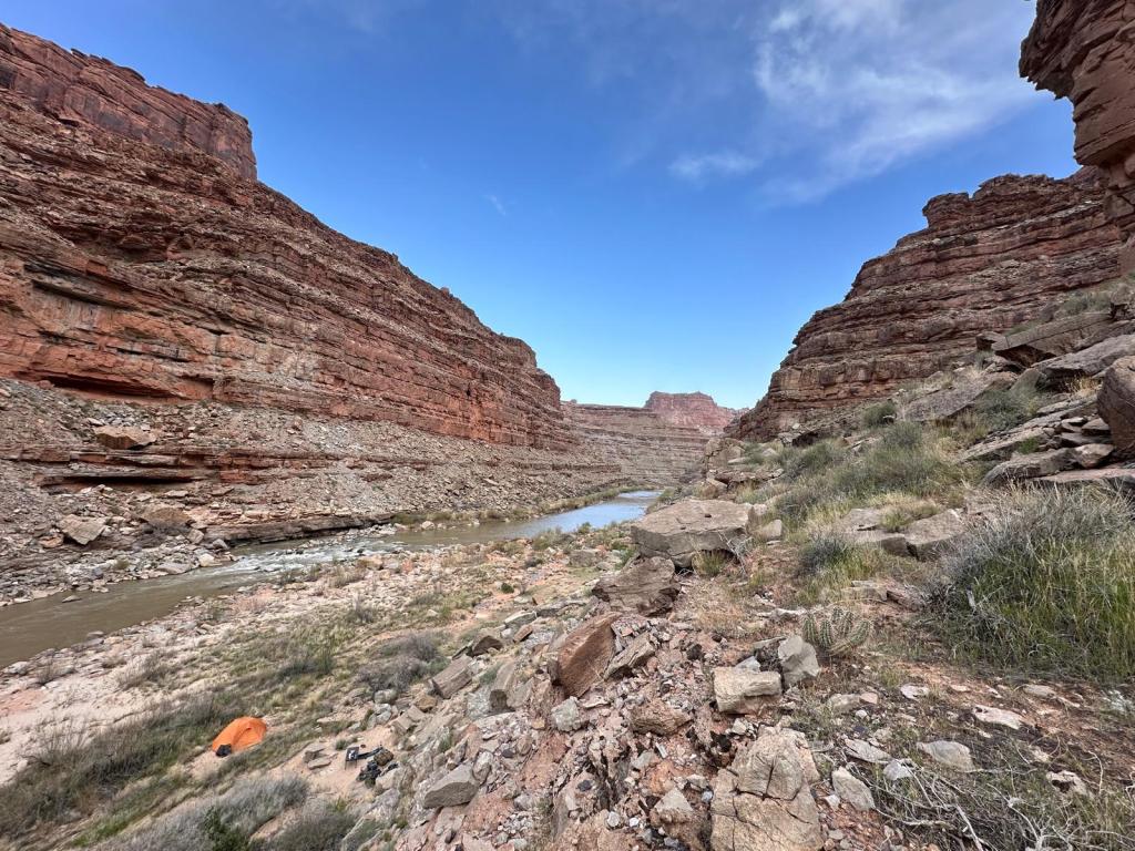
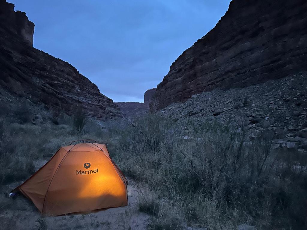
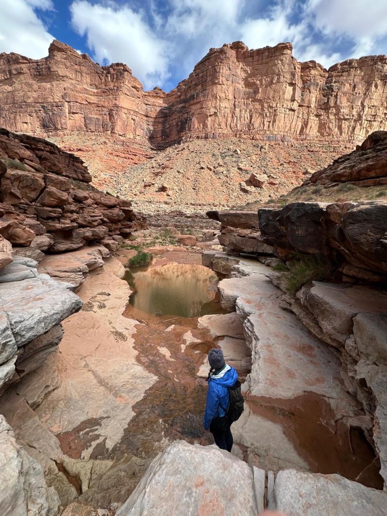
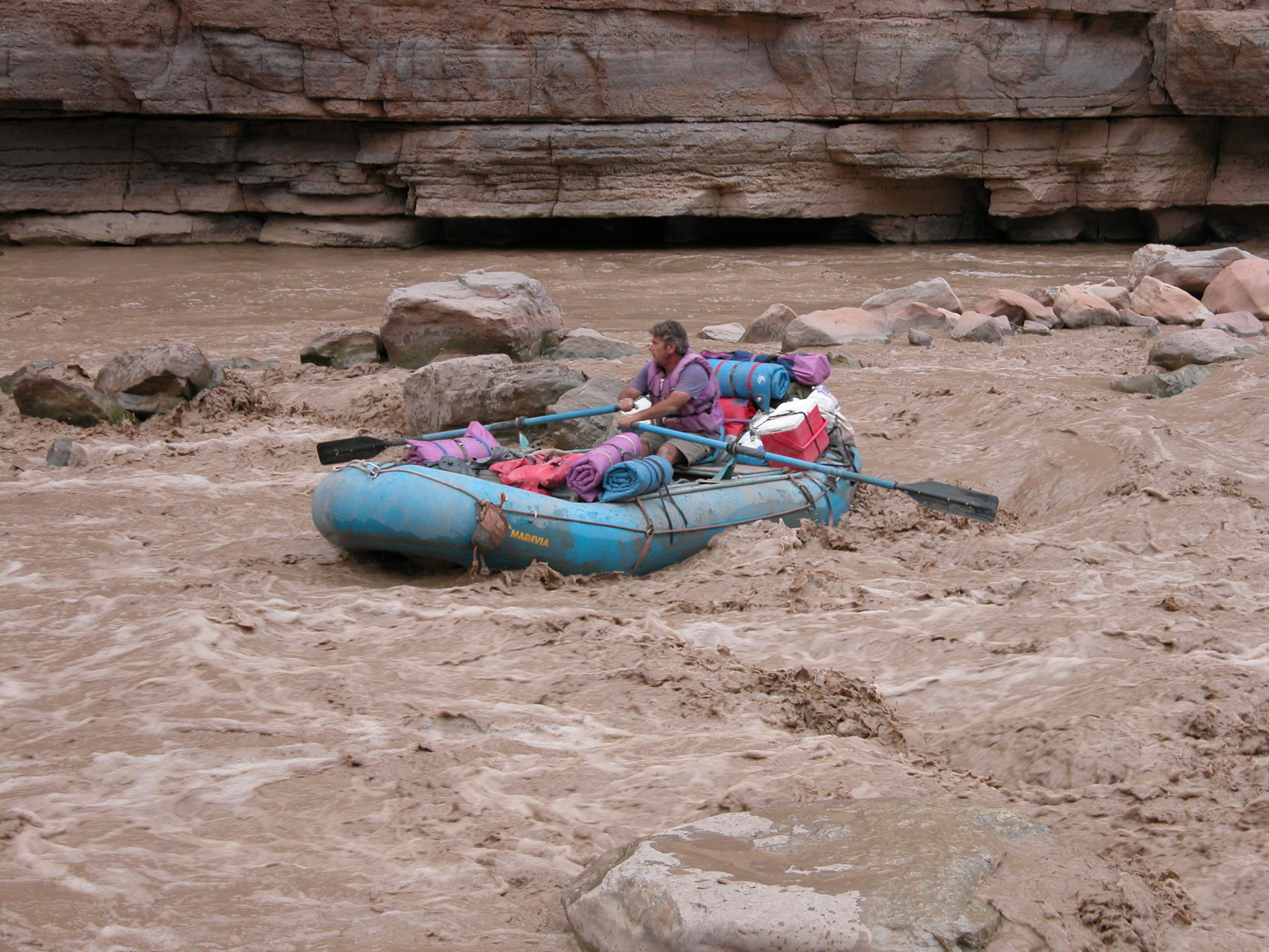
San Juan River, Utah. Oddly enough, my first private multi-day trip didn’t happen until several years after I’d started guiding. Upon returning to Durango after a summer of working on the Yellowstone River in Montana, my old boss at River Trippers invited me on a week-long family float down the San Juan. The water was sparse at that time of year, and like a moving trickle of mud it was so low. By the end we were actually pushing the rafts along the sandy bottom for miles before the take-out. But we didn’t see any other people the entire week, and the trip was an incredible experience. Great campsites, side hikes, good food, good company, and good times. Something special, in other words, and a foreshadowing of the importance trips like that would represent for years to come. A week later, the river suddenly spiked due to fall flooding, and we quickly drove back over and did the upper stretch, normally a three-day trip, in just a few hours. Water in the desert is an amazing thing.

SI Exif
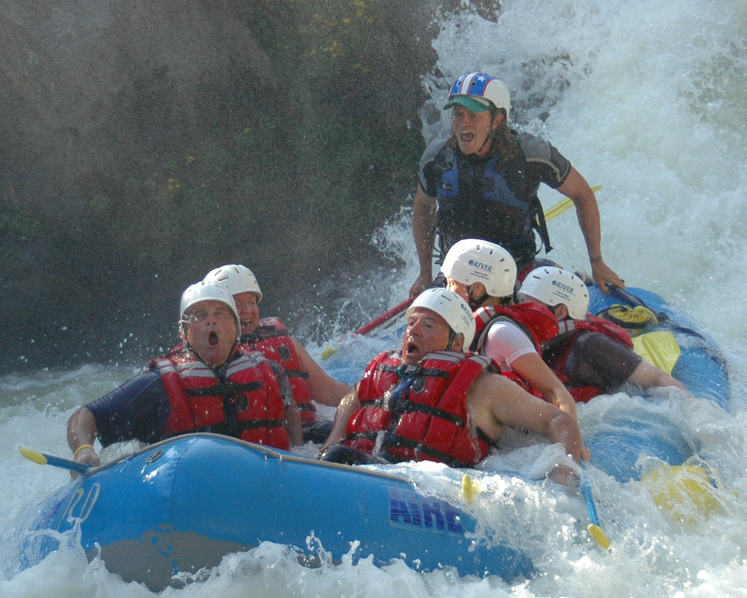
White Salmon, Washington. The following year was the real beginning of my ‘career’ as a guide. It was my first experience with bigger whitewater, and the start of a trend of year round work on rivers throughout the US from spring through fall, and seasons of international work each winter. That April, I attended another guide school in California, followed by a swiftwater rescue course in Montana, and then spent the summer working in the Pacific Northwest. The company I worked for had multiple permits on rivers in northern Oregon and southern Washington: the Deschutes, Clackamas, Klickitat, Owyhee, Santiam, and the White Salmon to name a few. This allowed guides to move around a fair amount, and work on different sections of river throughout the summer, which always keeps things interesting. Trip photos are a staple source of income in the commercial rafting industry. Most of them merely capture close-ups of smiling clients with a couple of waves splashing around them, and make great family photos for Christmas cards or home hallways. Running Husum Falls on the White Salmon, however, provides some of the best shots ever if you’re looking for social media style points. Guiding the falls a couple times a day can be a bit rough as a guide—as things can get violent in the back seat—but the faces reappearing from the foam are always priceless.
Tana River, Kenya. While running trips in Montana, I met a guide who worked for one of the other outfitters at an afternoon get-together in the Gardiner town park. He had a pronounced British accent, so I asked the usual questions to find out where he was from. Turns out, he grew up in Kenya, where his family owns a rafting company. I never saw nor spoke to this fellow again, but took down the contact information for the company, and pestered his brother, who manages it, for a couple of years before he offered me the opportunity to work in Africa for a season. What descriptors could possibly define the experience? It was all of them. Amazing, incredible, unforgettable… I spent several months in Kenya working mainly on the Tana, and also had the opportunity to camp in a few of the national parks, climb Mt. Kenya, and spend a couple weeks kayaking on the White Nile in Uganda just months before the first of two dams were finalized. Africa is as wild, chaotic, and mystical as this world gets.

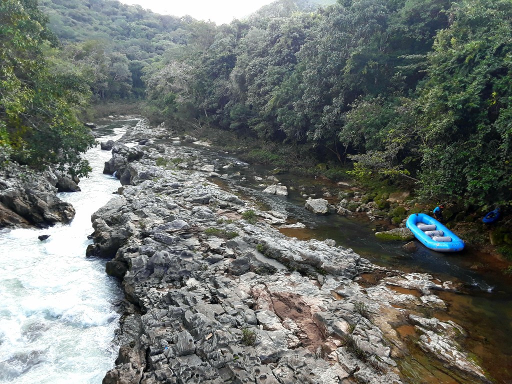
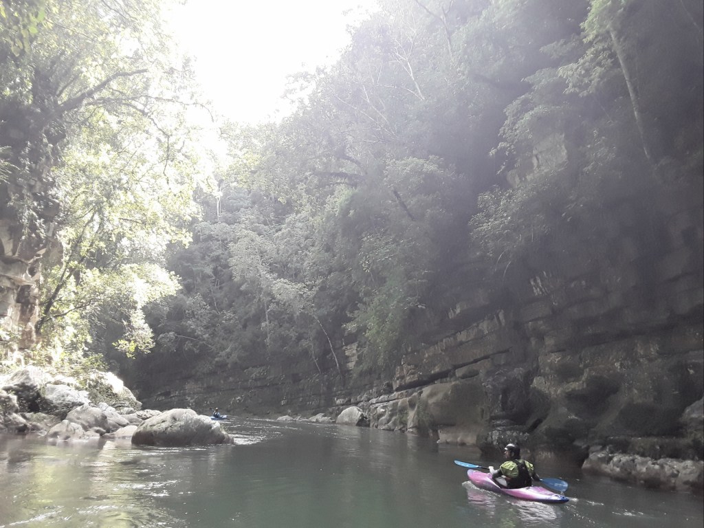
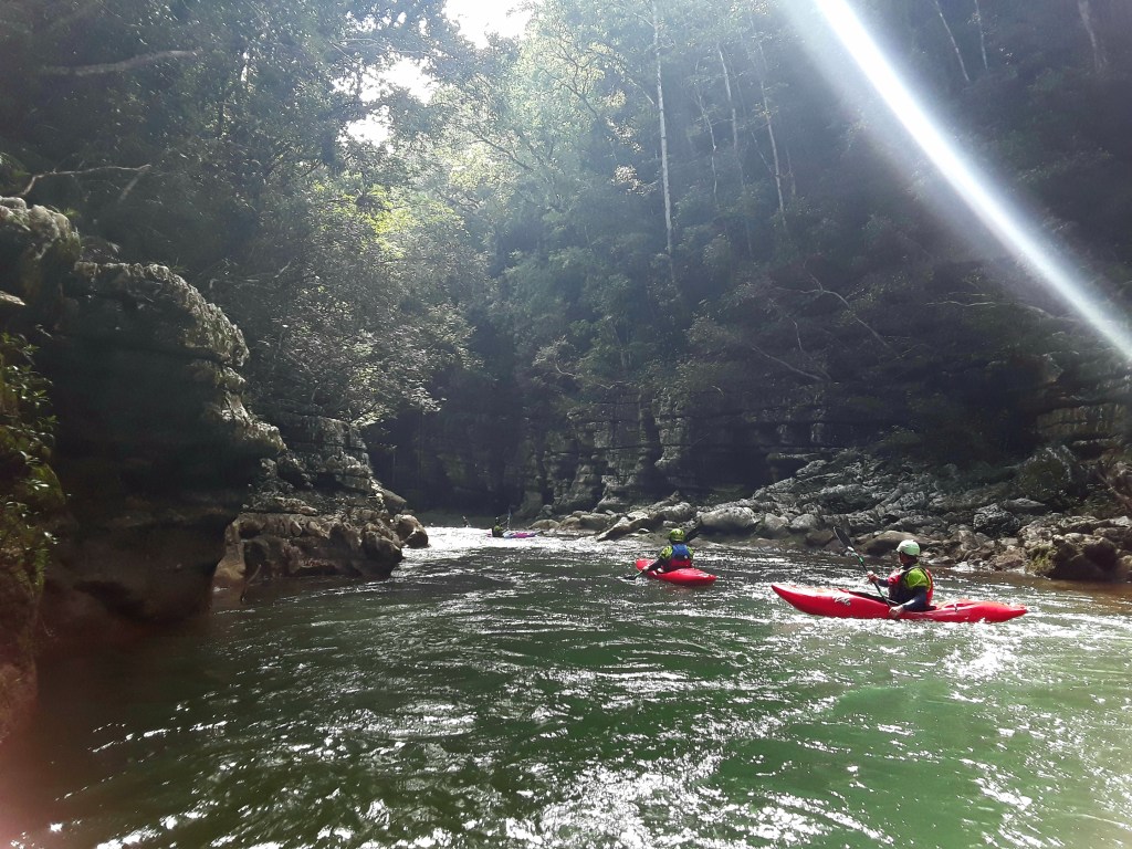
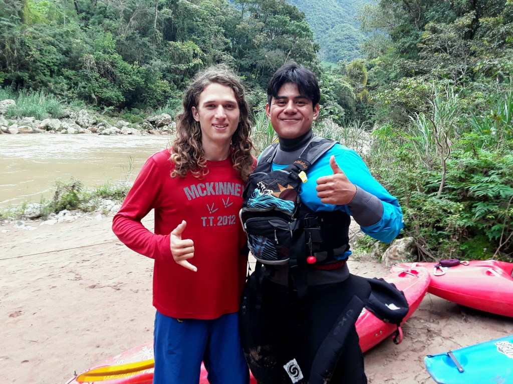
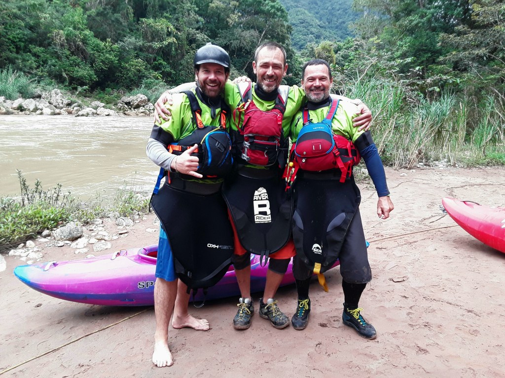
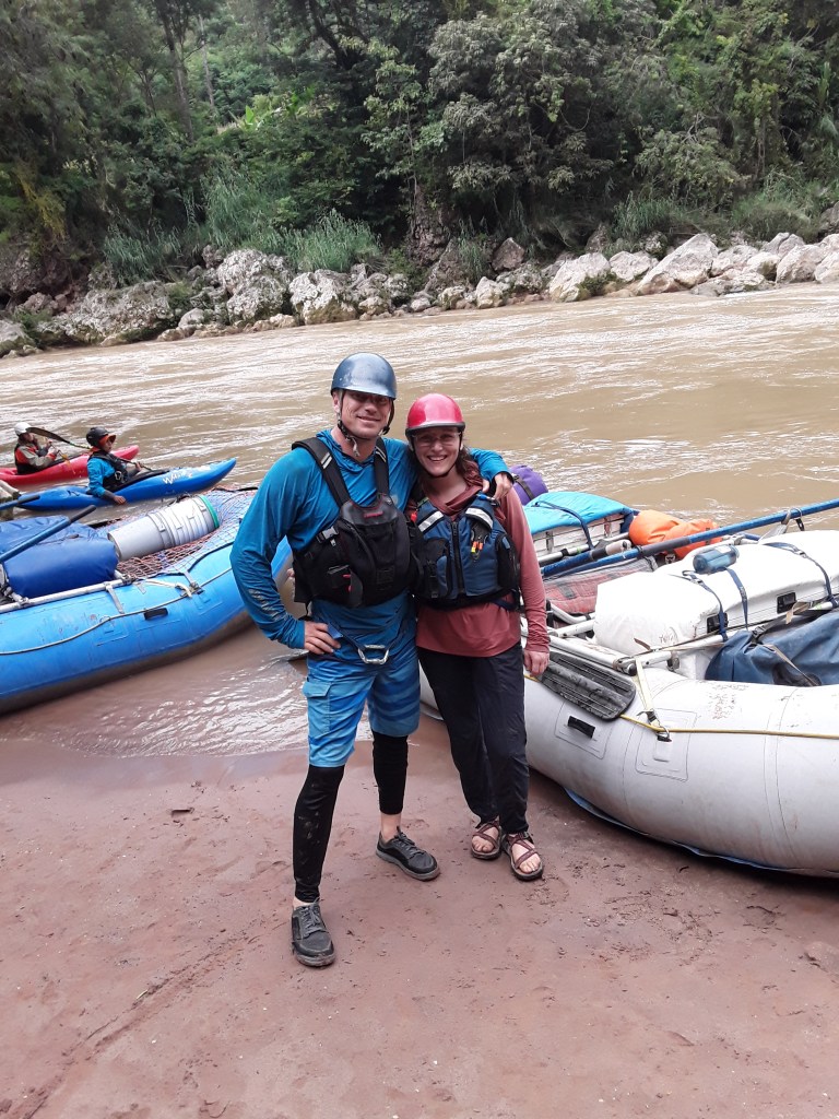
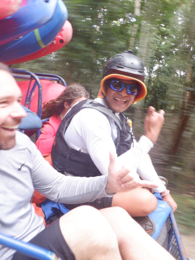
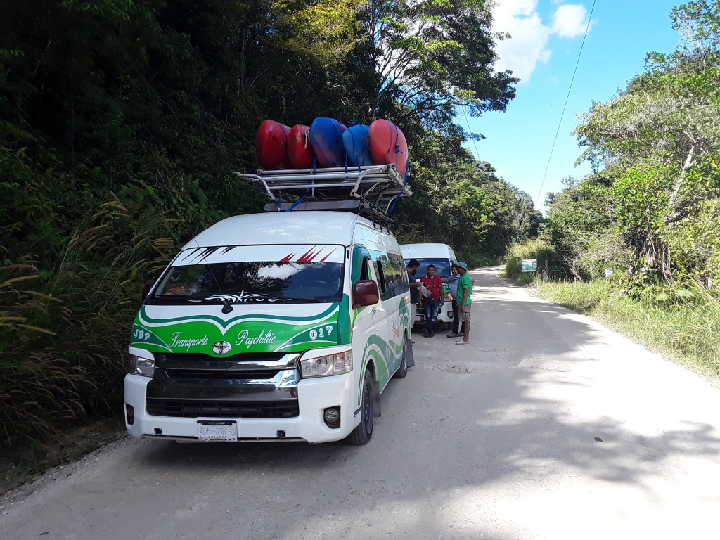
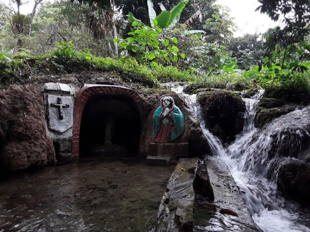
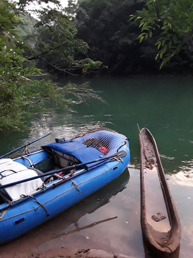
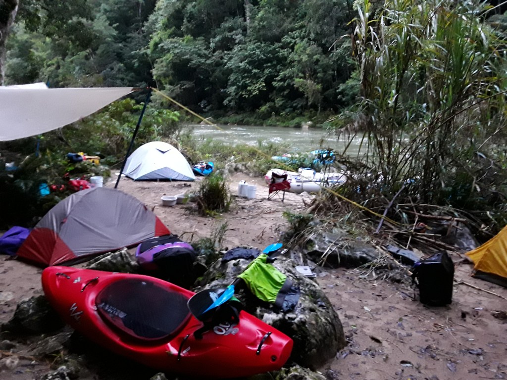
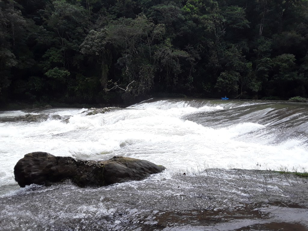
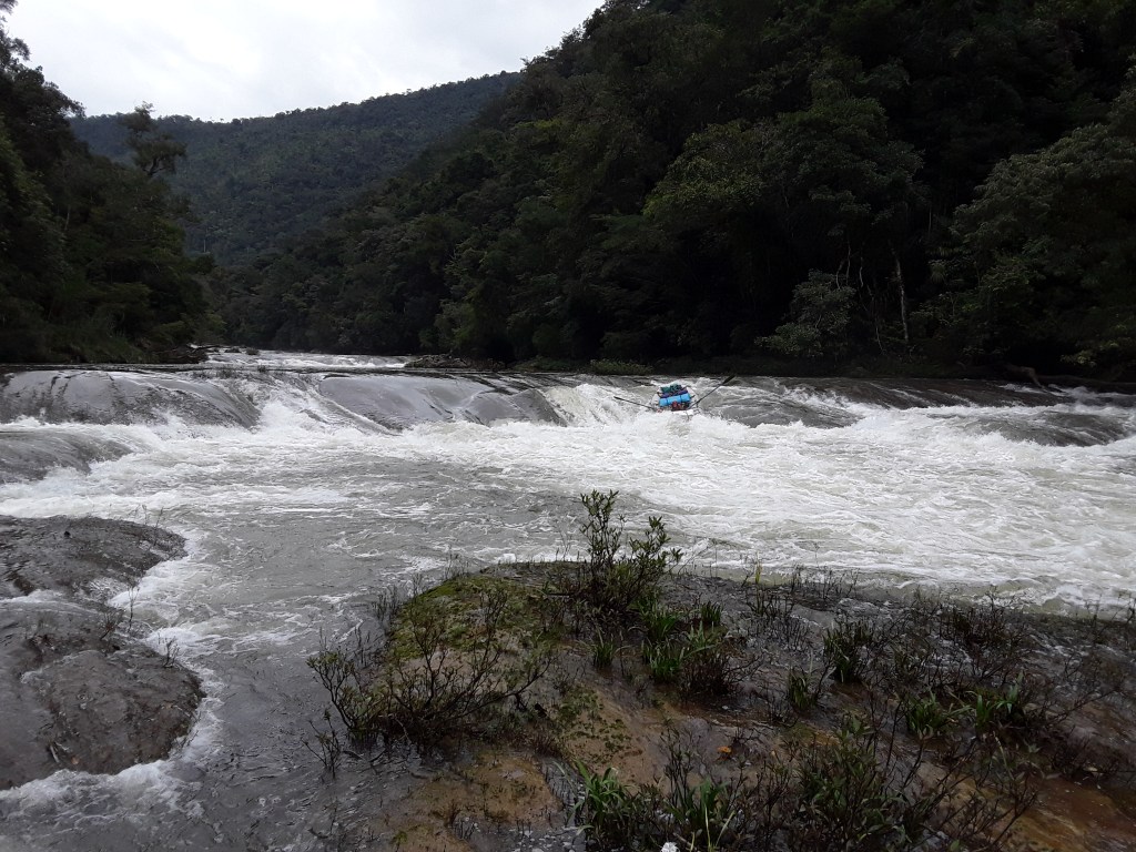
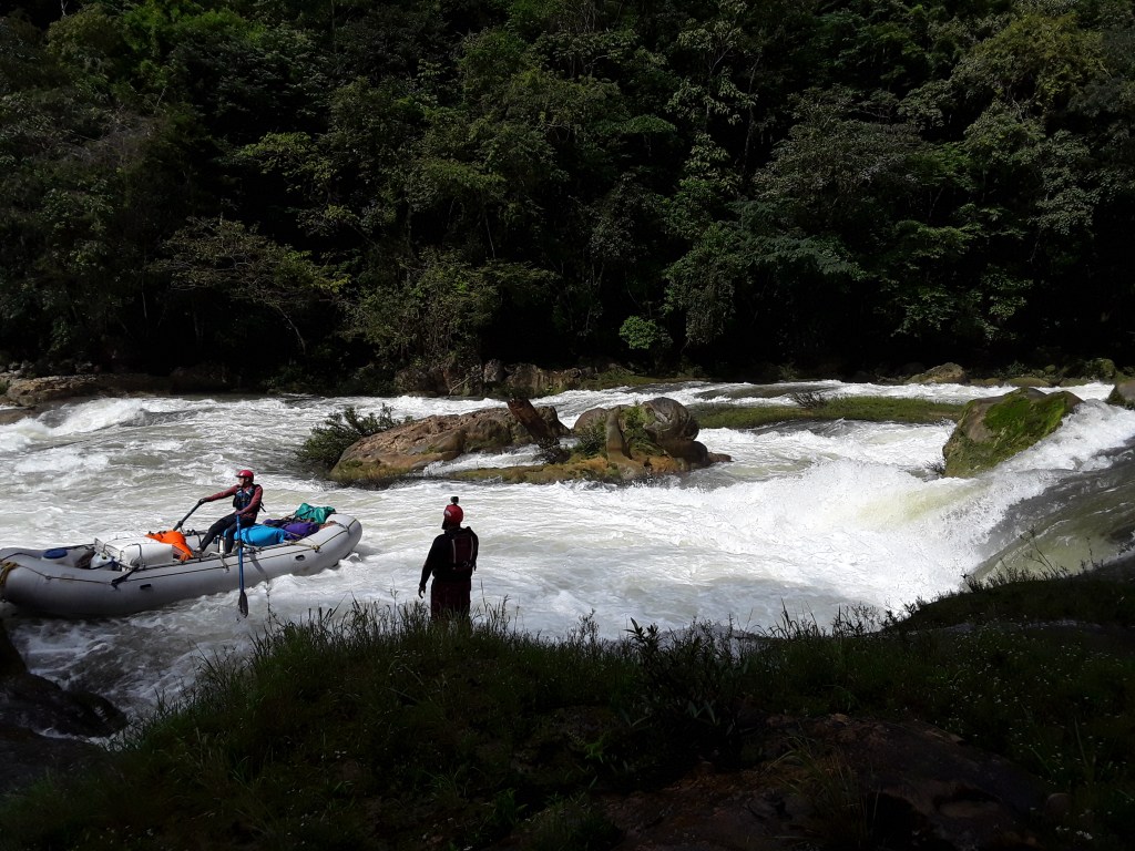
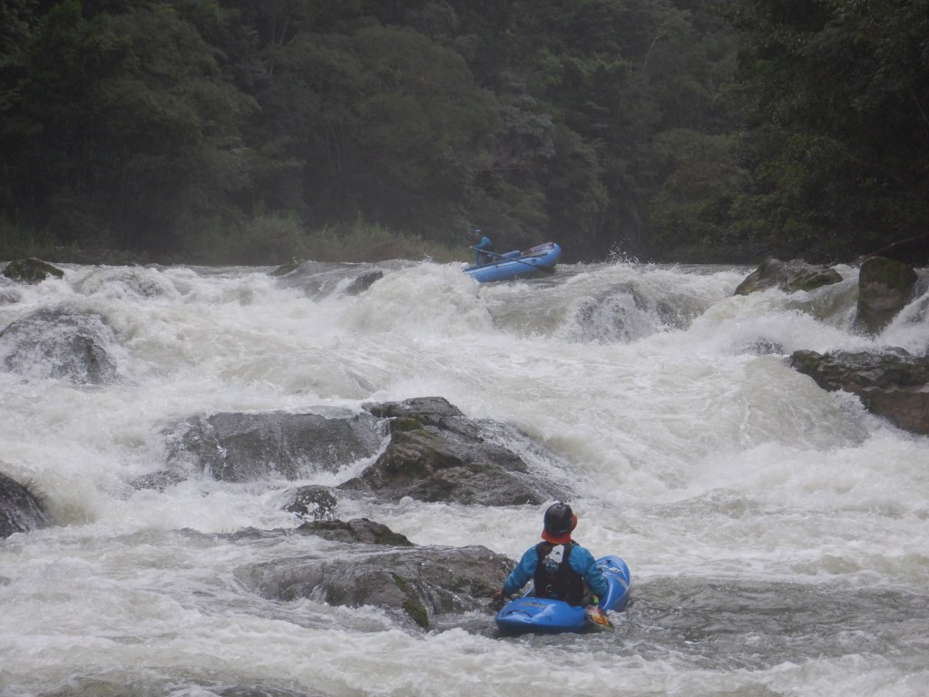
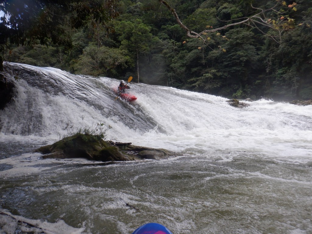
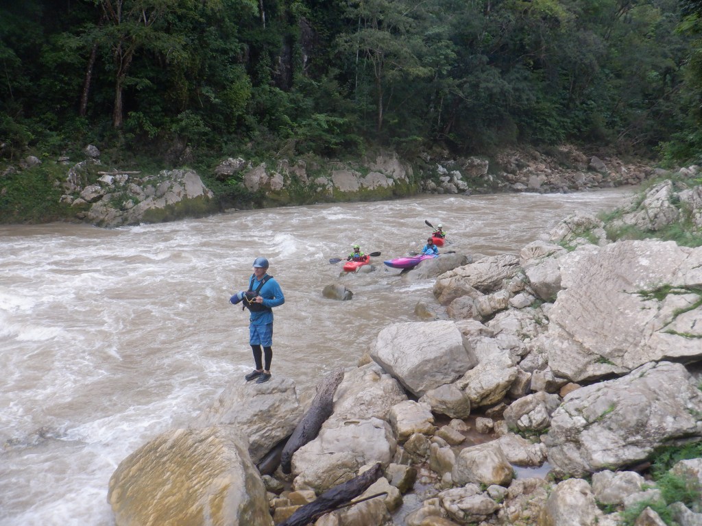
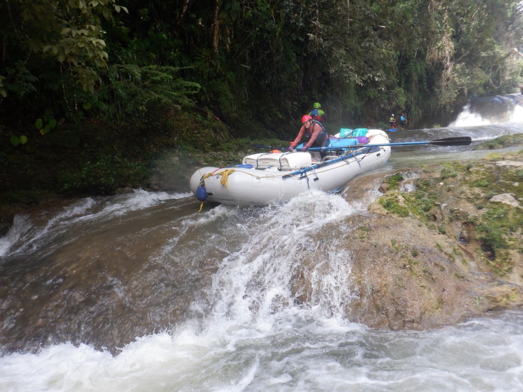
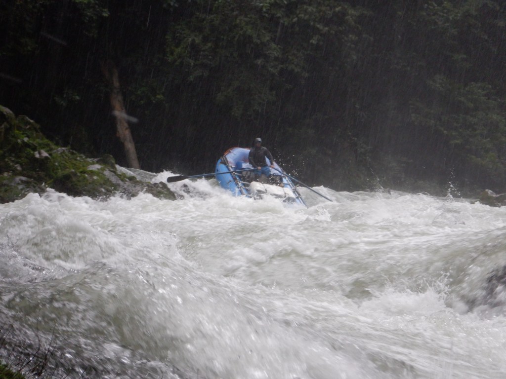
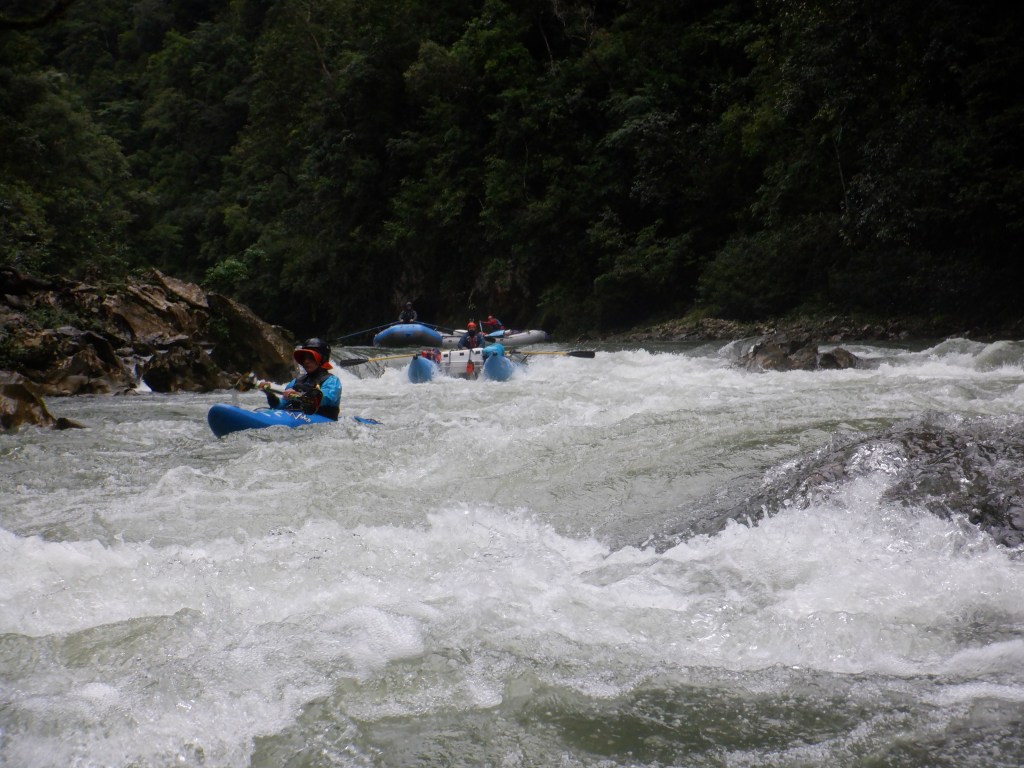
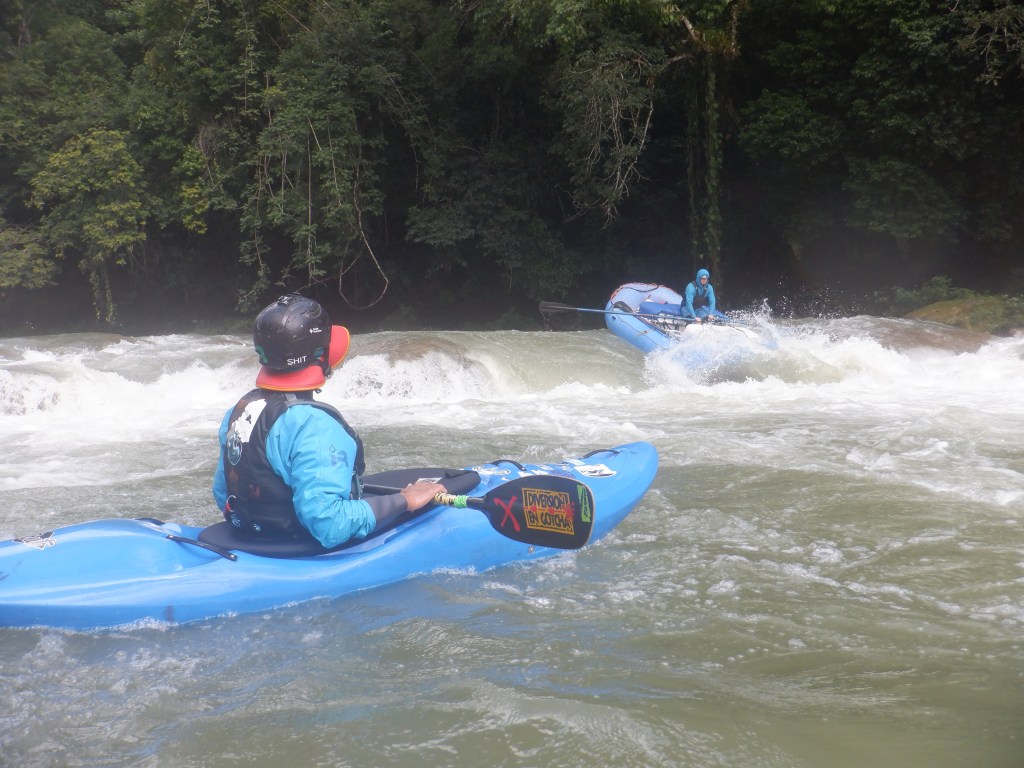
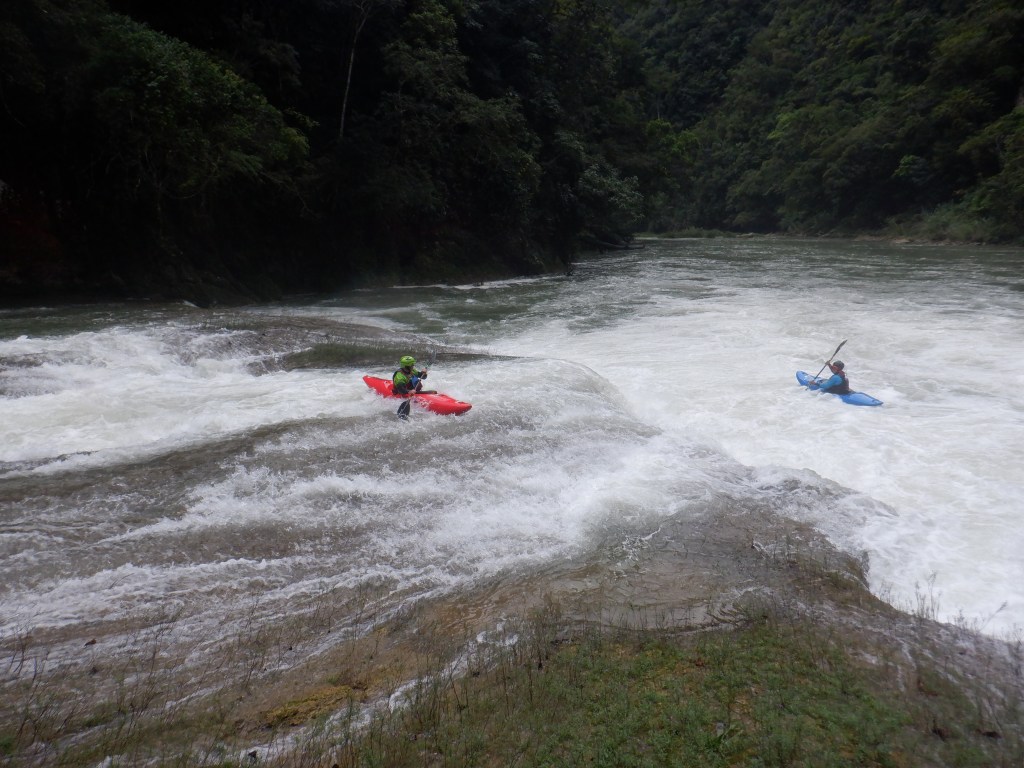
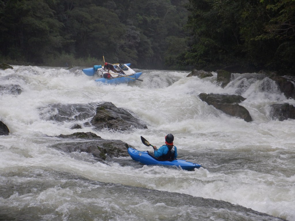
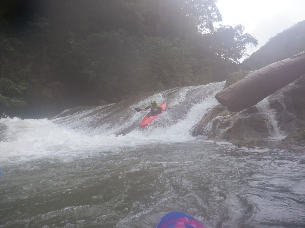
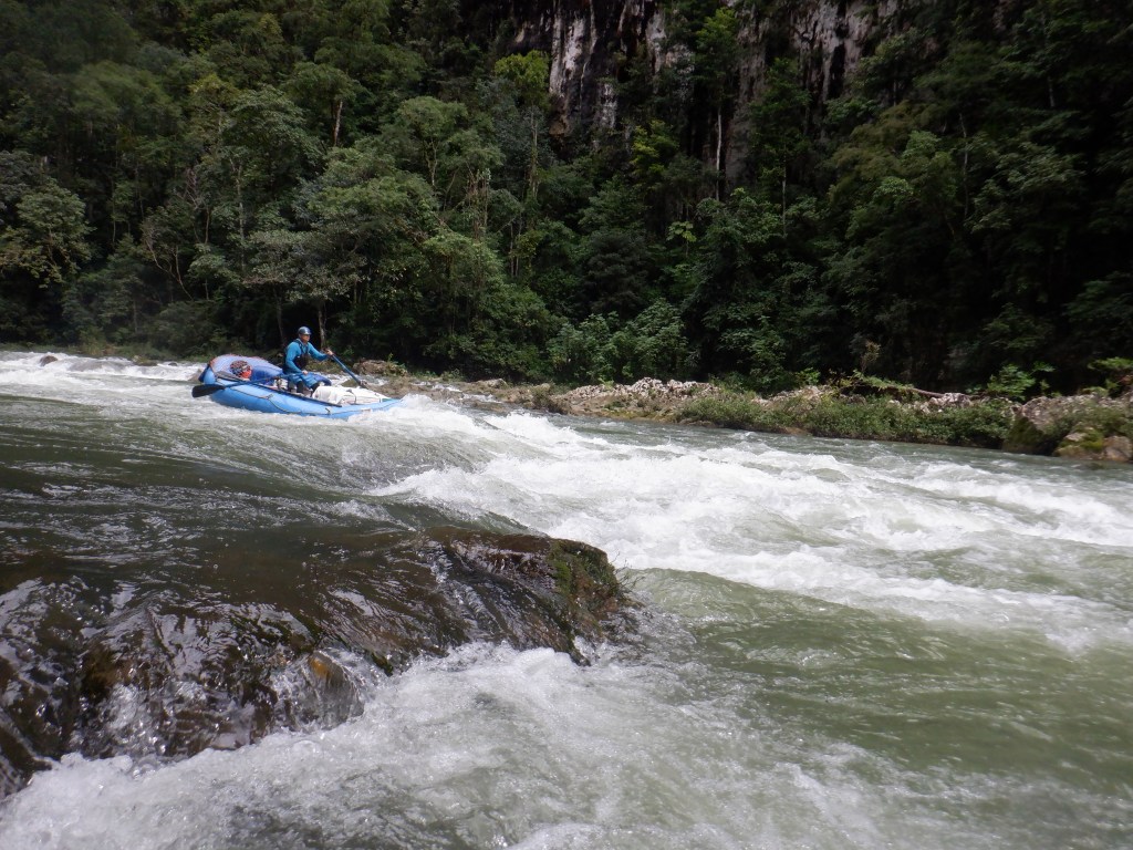
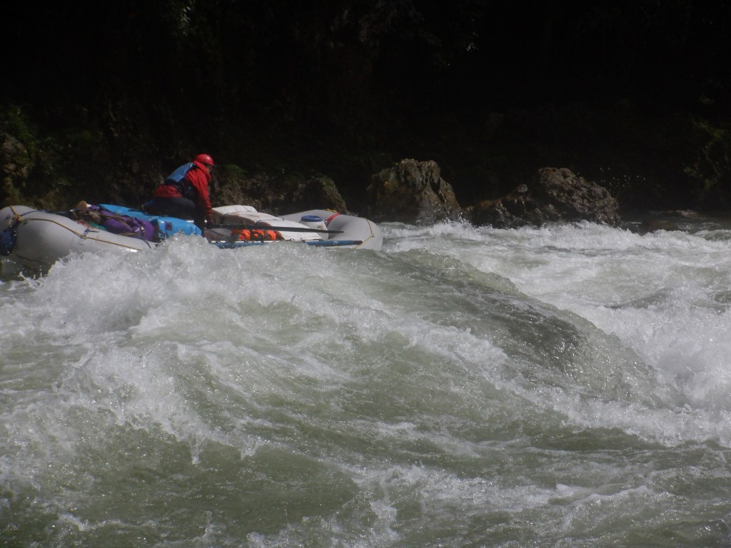
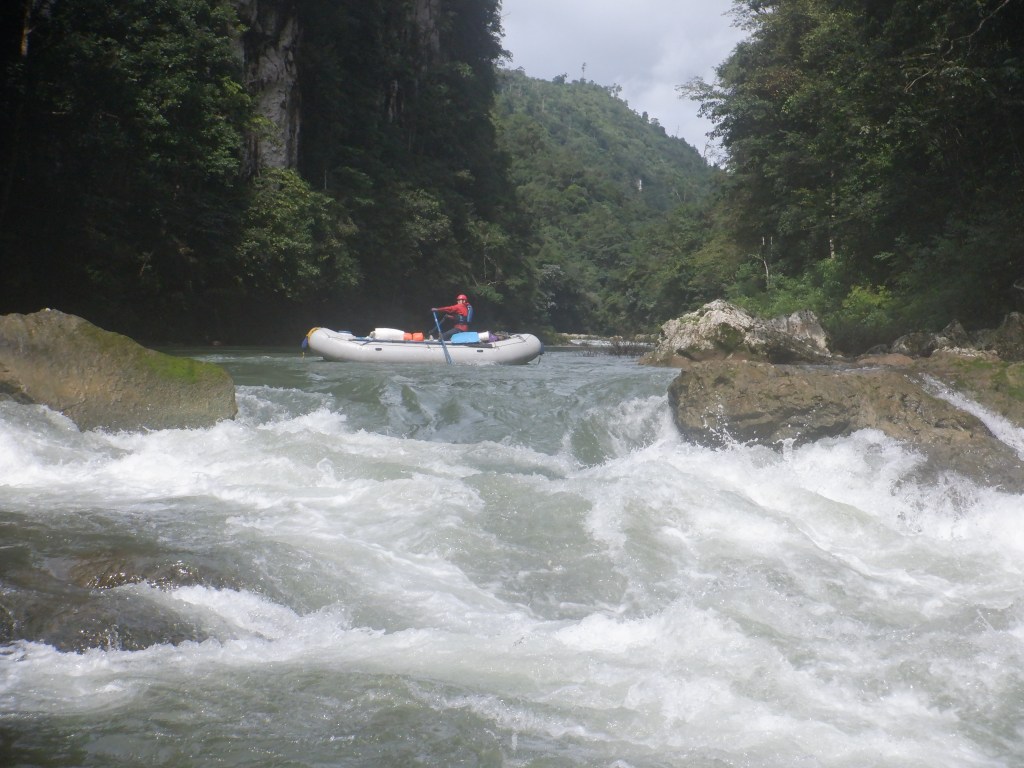
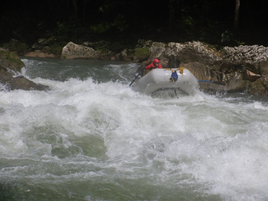
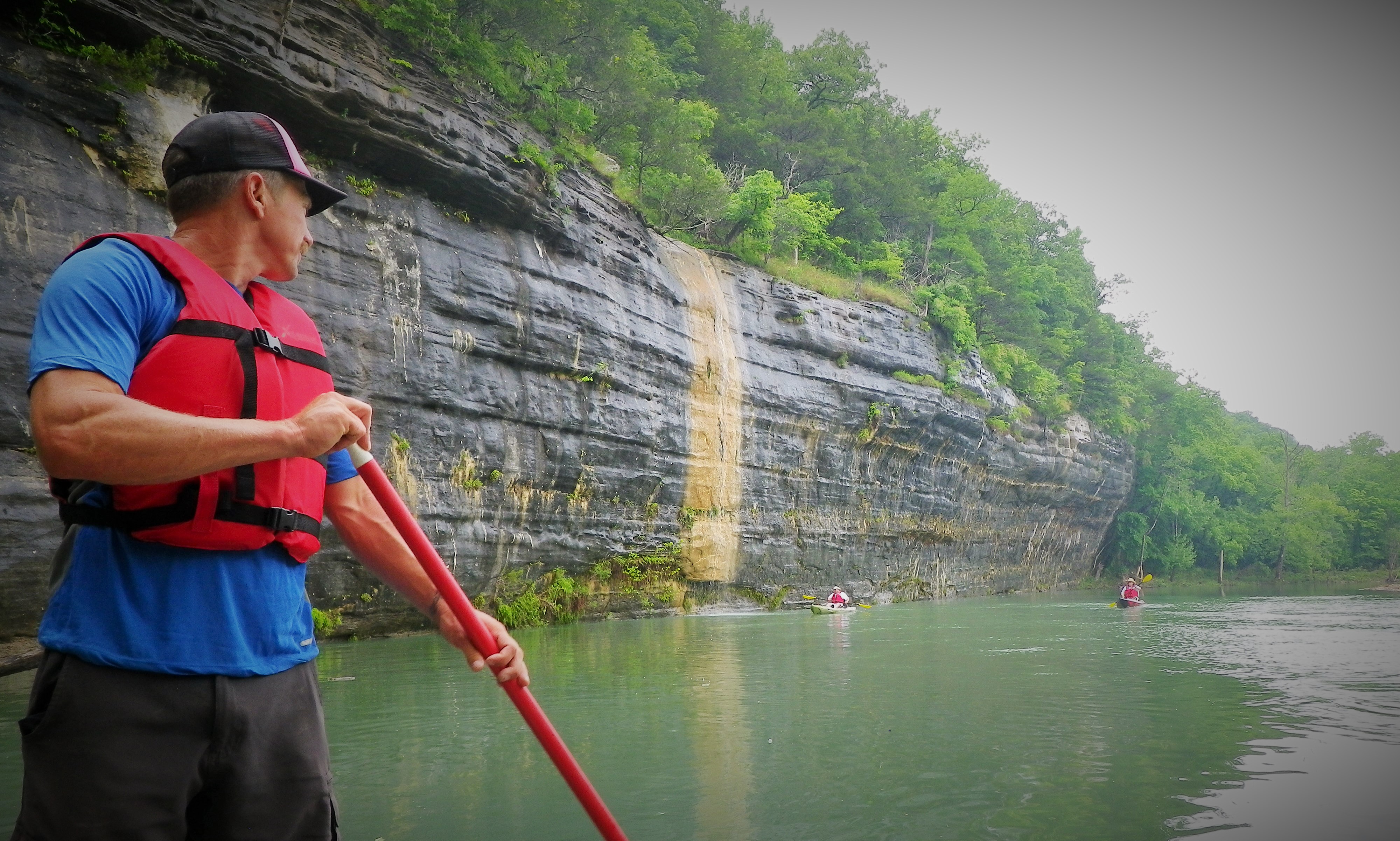
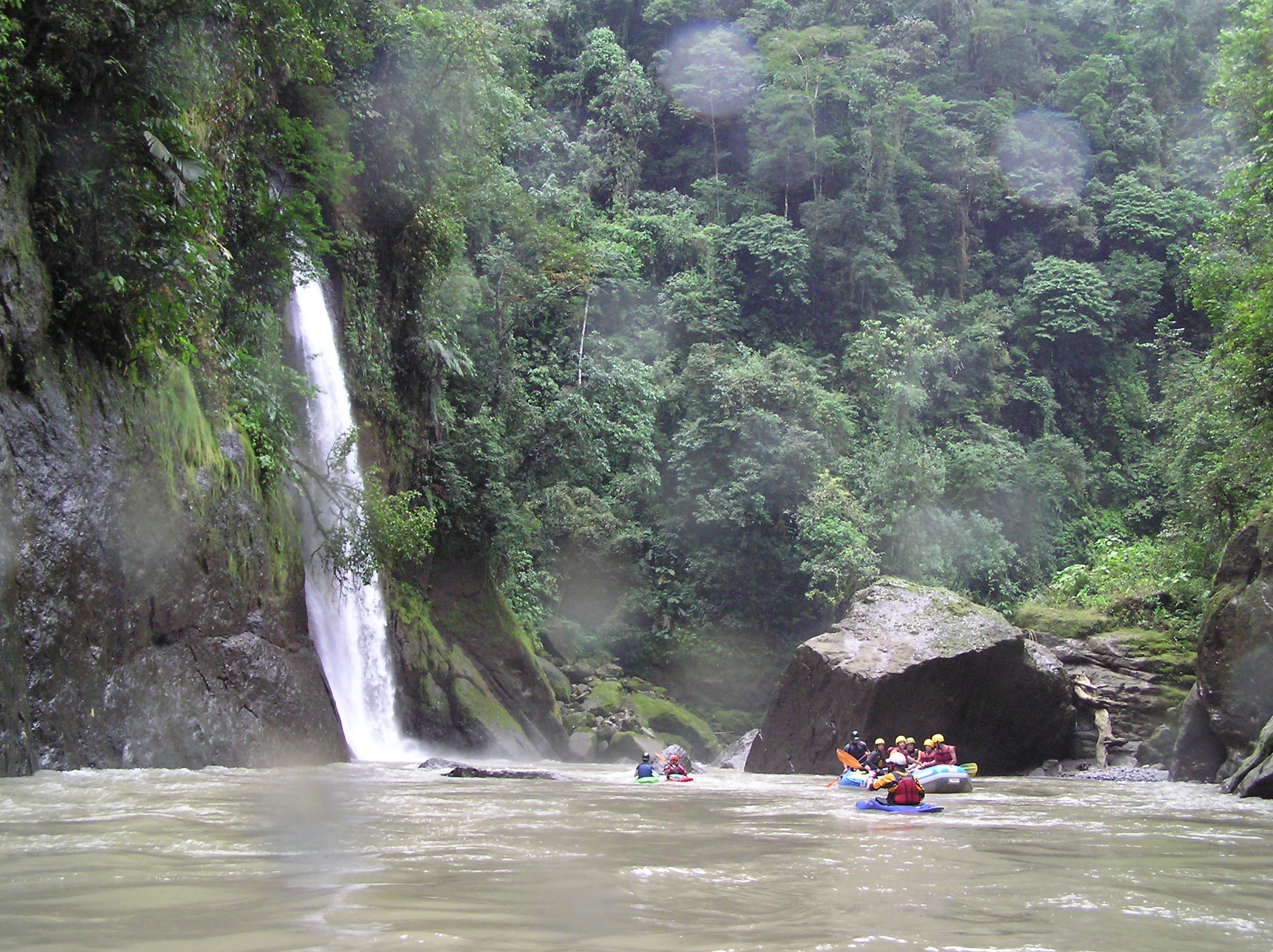
Rio Pacuare, Costa Rica. I worked several winter seasons down in Central America, the first couple of seasons guiding commercially on the Pacuare, which is probably the most popular rafting trip in Costa Rica, and another two years managing river operations for Outward Bound on rivers throughout the country. The Pacuare has changed significantly since the first time I ran it. Its commercial success actually saved the river, for the time being, from dying behind a dam—a fate of many sections of incredible whitewater in CR and the world over—but also altered the wild nature of the river corridor significantly as companies constructed roads to the river, and built campground resorts along its banks. This first photo, however, is of one of my favorite places in the world: Huacas Canyon, the heart of the run and still an enchanted environment of waterfalls, jungle canopy, and the three best rapids on the river.

OLYMPUS DIGITAL CAMERA

OLYMPUS DIGITAL CAMERA
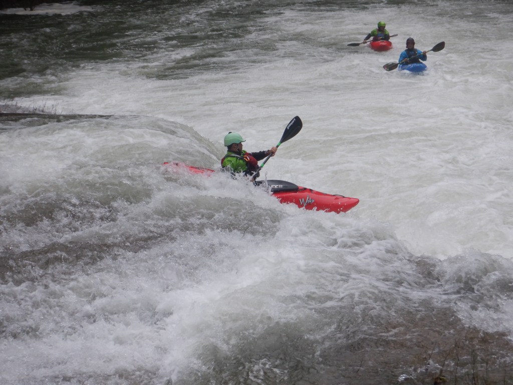
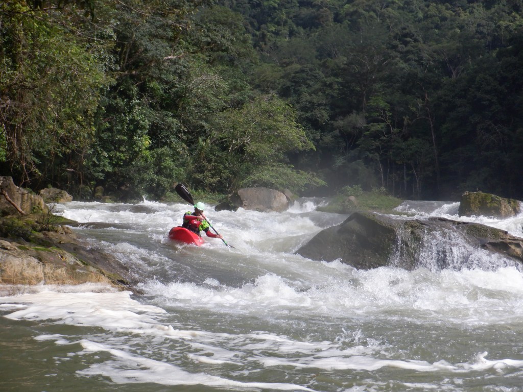
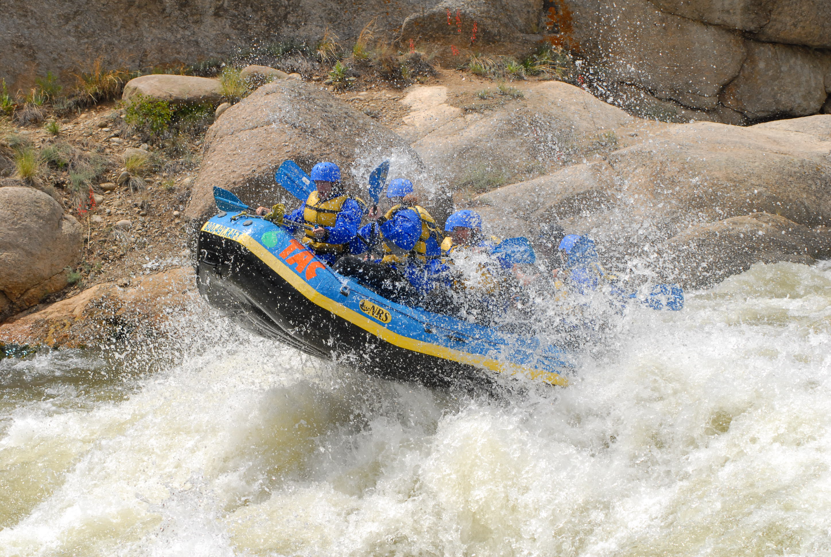
Kern River, California. On a good year, California has some of the best whitewater in the world, and I was fortunate to work three consecutive big-water years on the Kern. Years where the Sierras were piled with snowpack, and conditions were perfect for it to melt ideally, providing six-weeks a season or so of incredible spring paddling, followed by a summer of dam releases on the lower sections of river. The best thing about working on the Kern is that easy access to numerous different sections is akin to living next to multiple rivers all within a short driving distance. The Upper Kern is undammed, and has several stretches of Class IV and V whitewater, each one with its own distinctive characteristics. Day runs might include the big waves in Limestone, the technical and action packed Chamise Gorge, the seldom run Ant Canyon, the often run Cables section, and perhaps the munchy Class V Thunder Run. On a really good year, several trips down an even higher section, the Forks of the Kern, a multi-day undertaking which begins with a two-mile hike (with mules carrying rafts and gear down) into the Golden Trout Wilderness, provide epic adventures for guides and clients alike. As the summer heat hits, trips move downstream to the Lower Kern, where pool-drop rapids, desert scenery, swimming stretches, and jump rocks create a perfect mix of relaxation and good times.
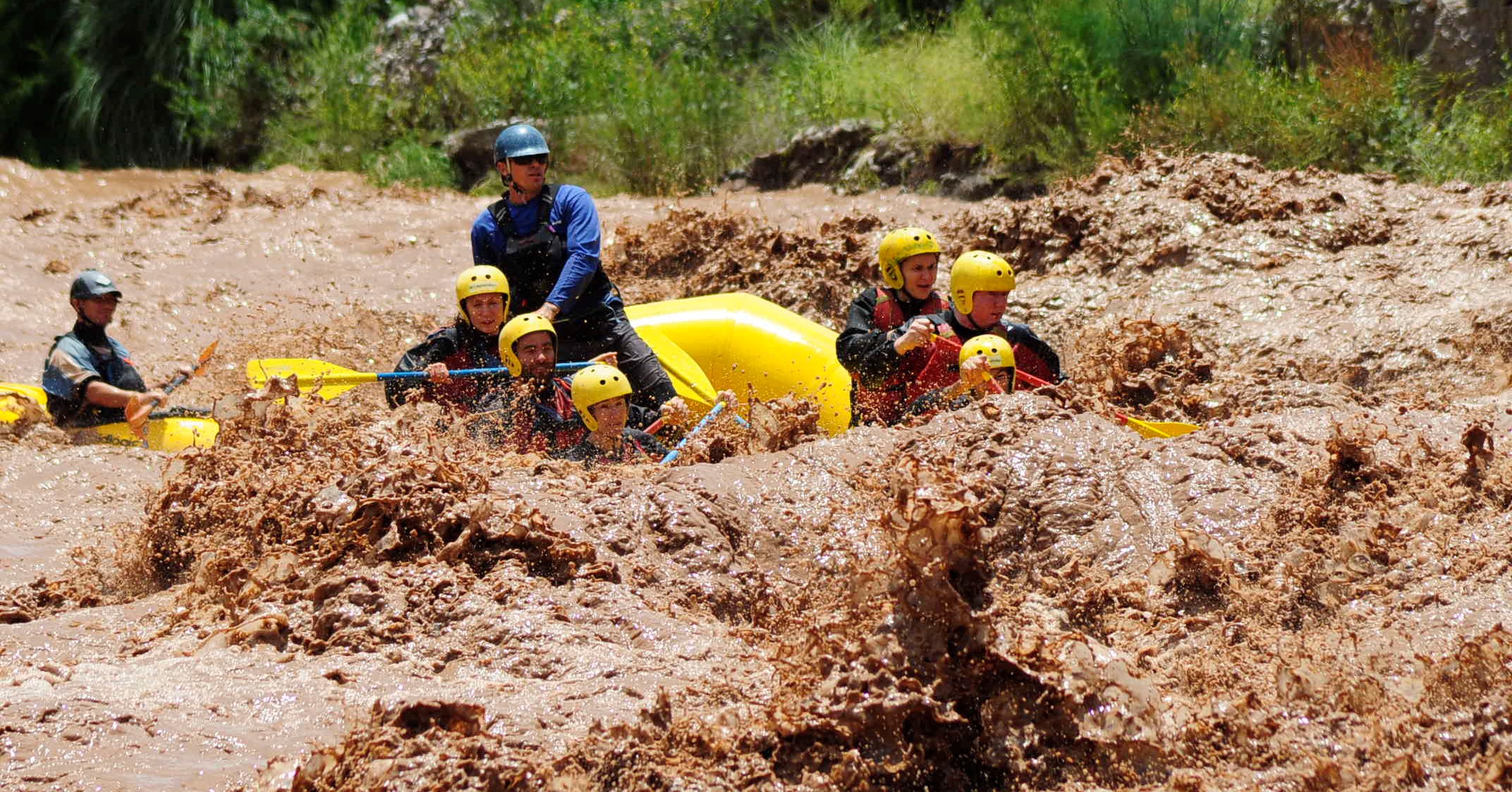
Rio Mendoza, Argentina. A few years ago I had the opportunity to guide for a couple of months on a section of the Rio Mendoza in the heart of Argentinian wine country. The river is a drainage of Aconcagua, the highest peak in the Andes and the Americas, and several companies offer whitewater trips on a short section of rapids just upstream from the city of Mendoza, a popular tourist destination. Most of the time I was there, I guided for one of the worst companies I’ve ever worked for in terms of safety, equipment, professionalism, and taking care of employees. The last week or so, I finally defected to one of the best companies I’ve seen in terms of the same (Argentina Rafting). The river that year was huge, with one of the biggest run-offs in the past decades. Each day the river got bigger and muddier and faster, and more than anything I remember the powerful earth scent getting stronger and stronger each morning as I walked the riverside trail from town to work. It was late January, and springtime in the South American desert, and everything was in bloom and coming alive, including the Rio Mendoza.
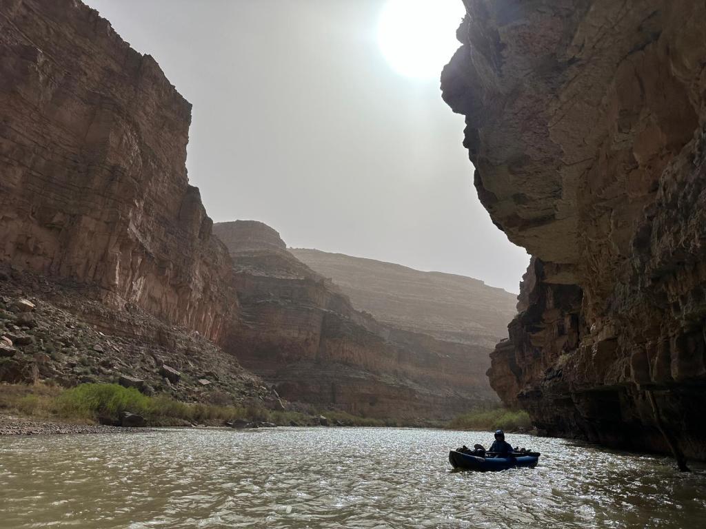
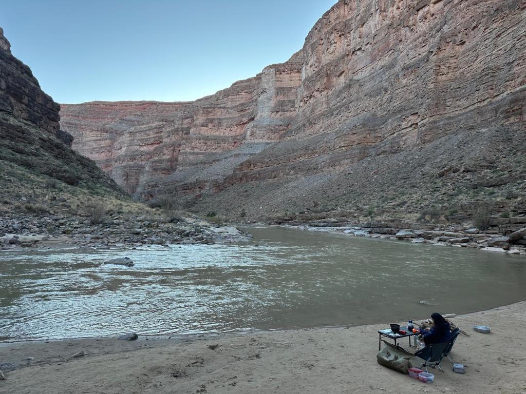
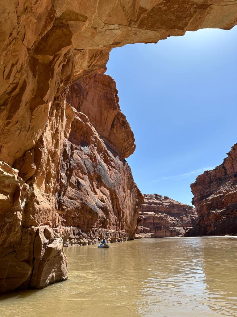
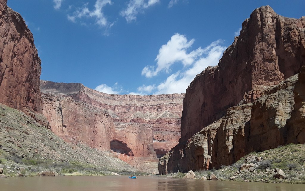
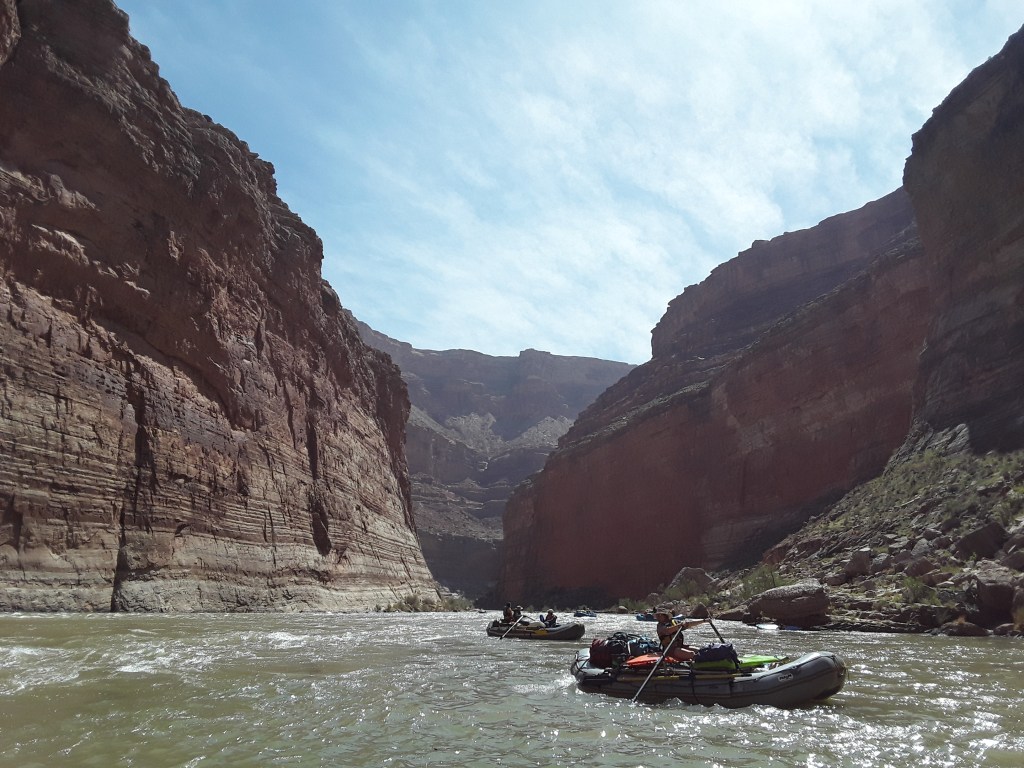
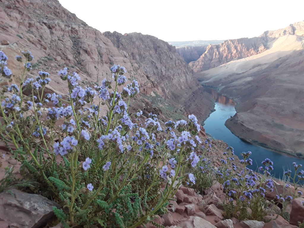
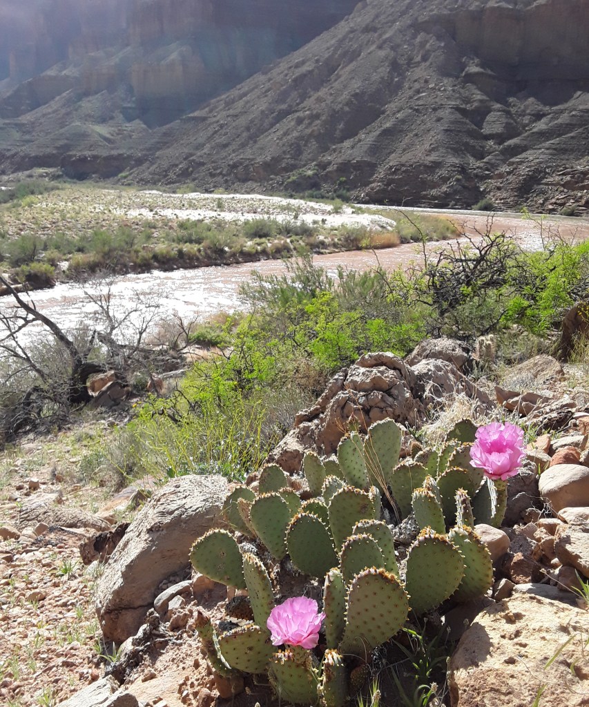
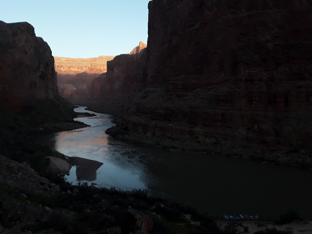
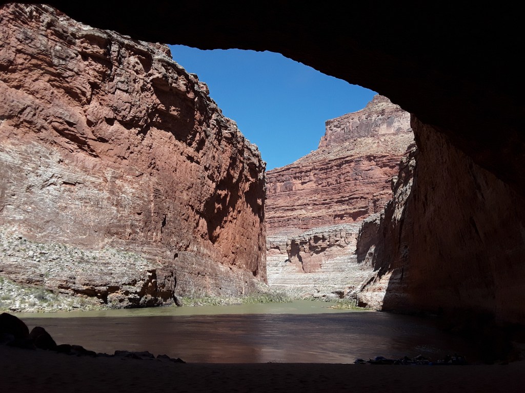
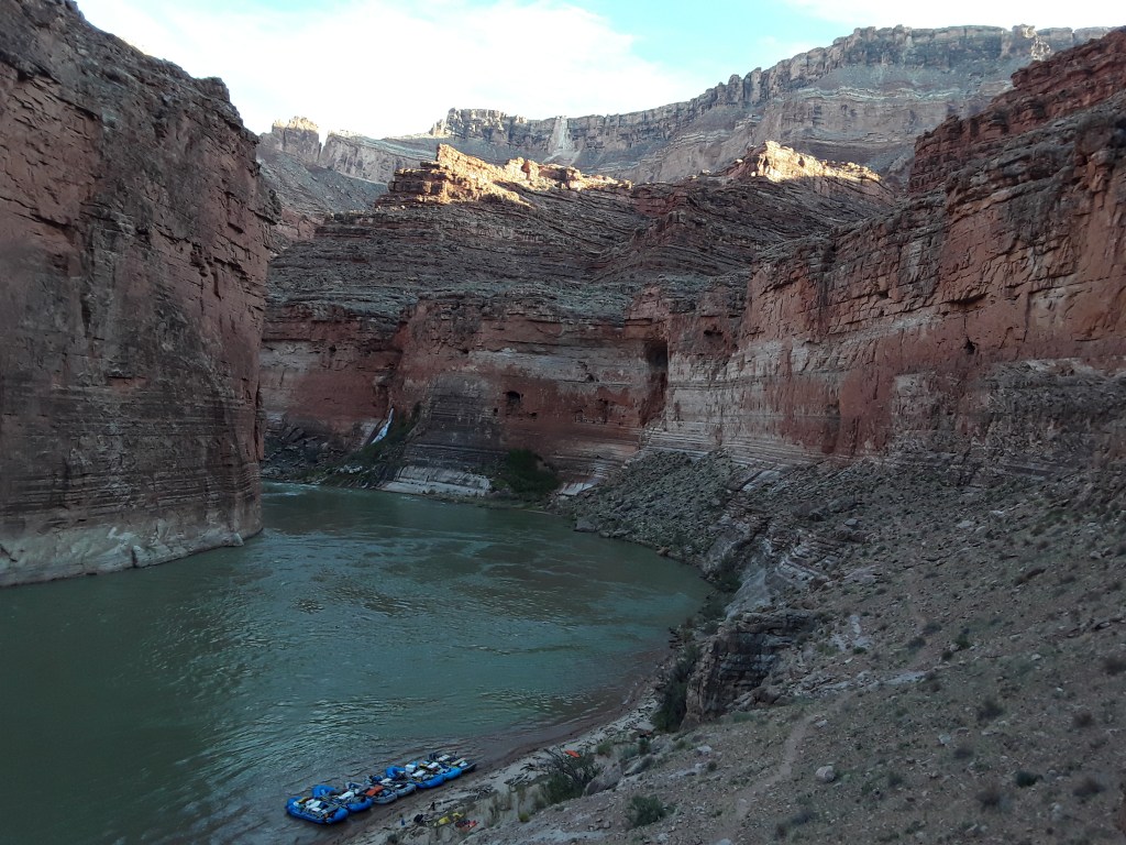
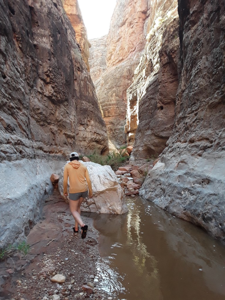
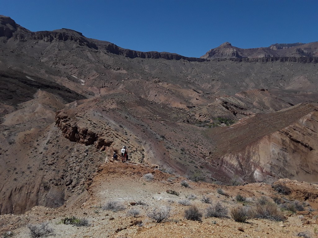
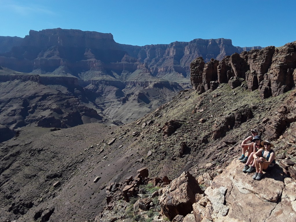
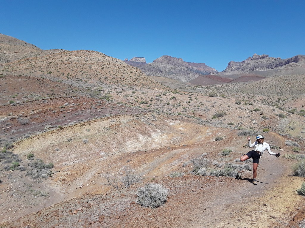
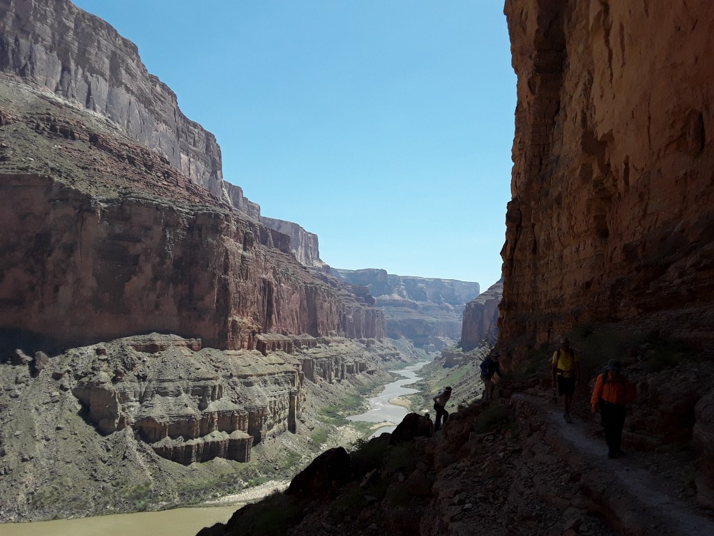
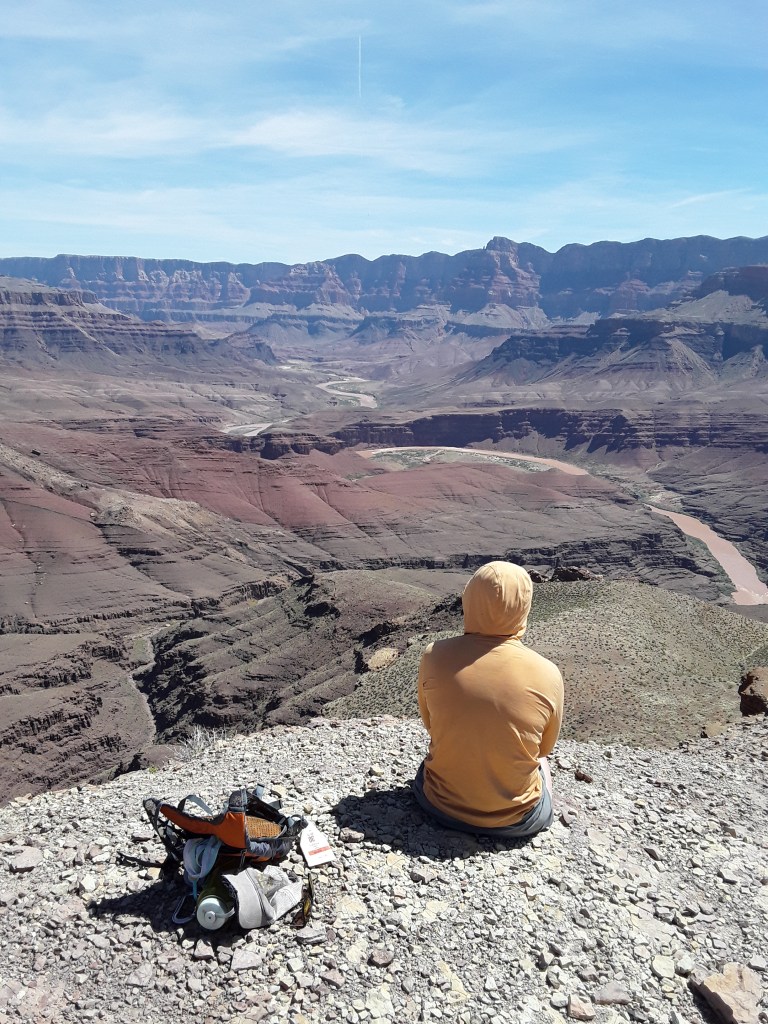
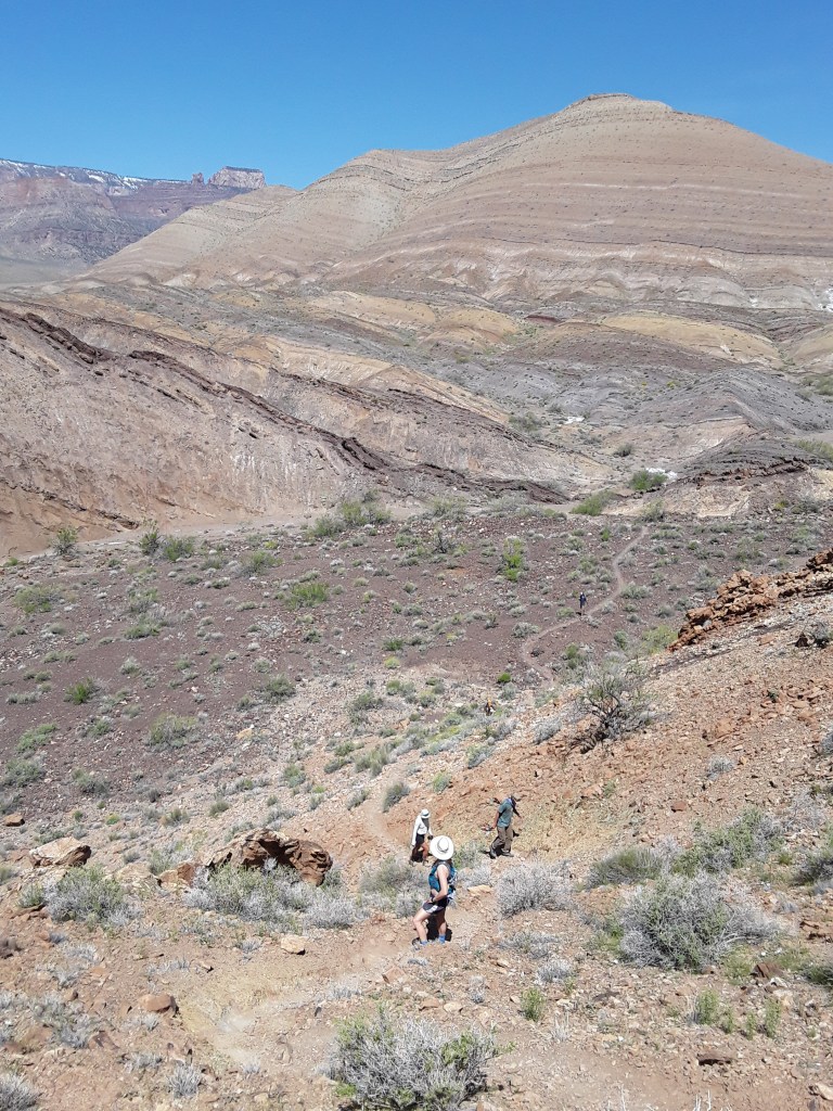
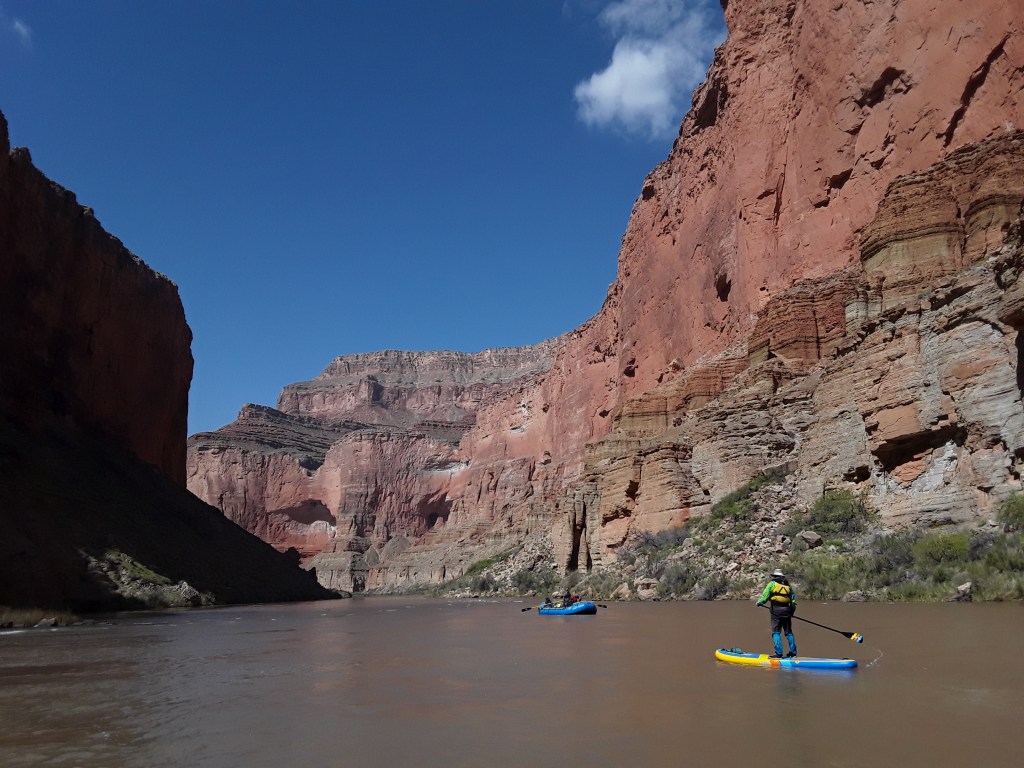
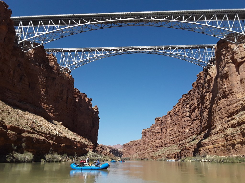
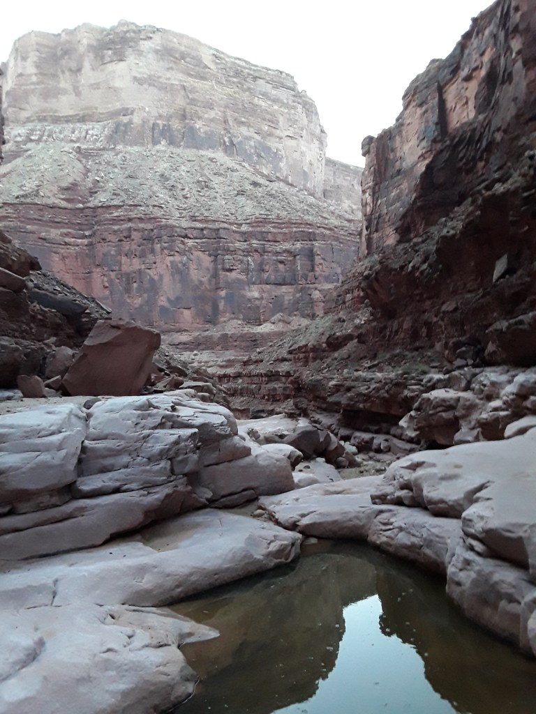
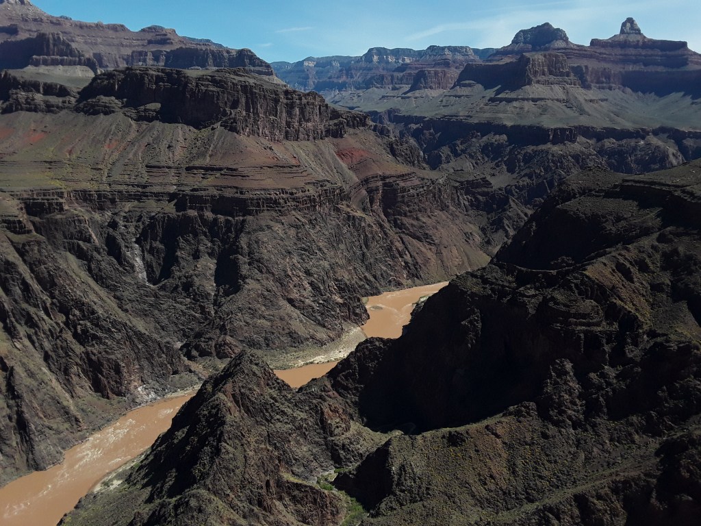
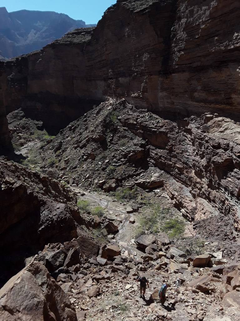
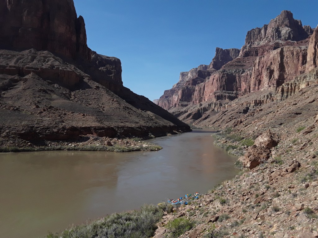
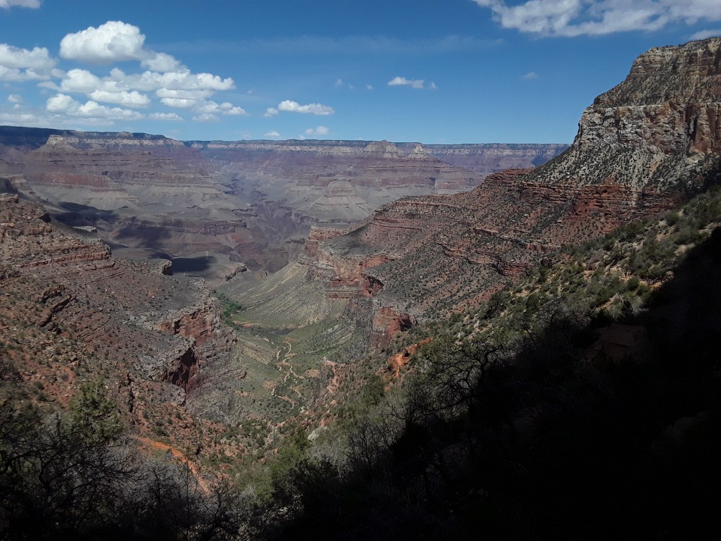
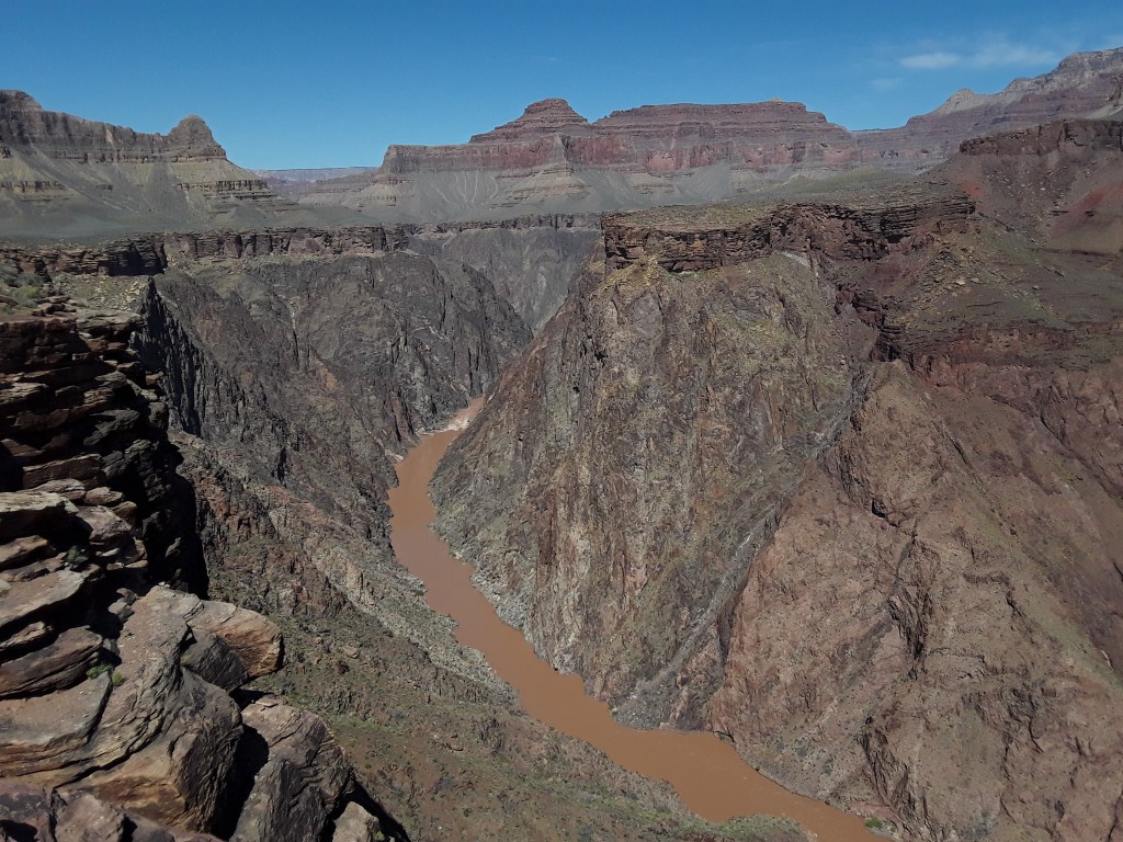
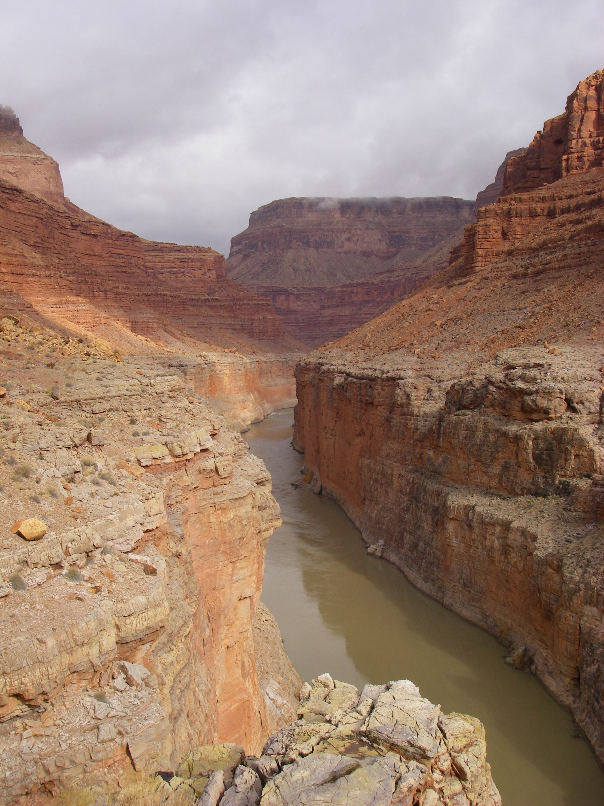
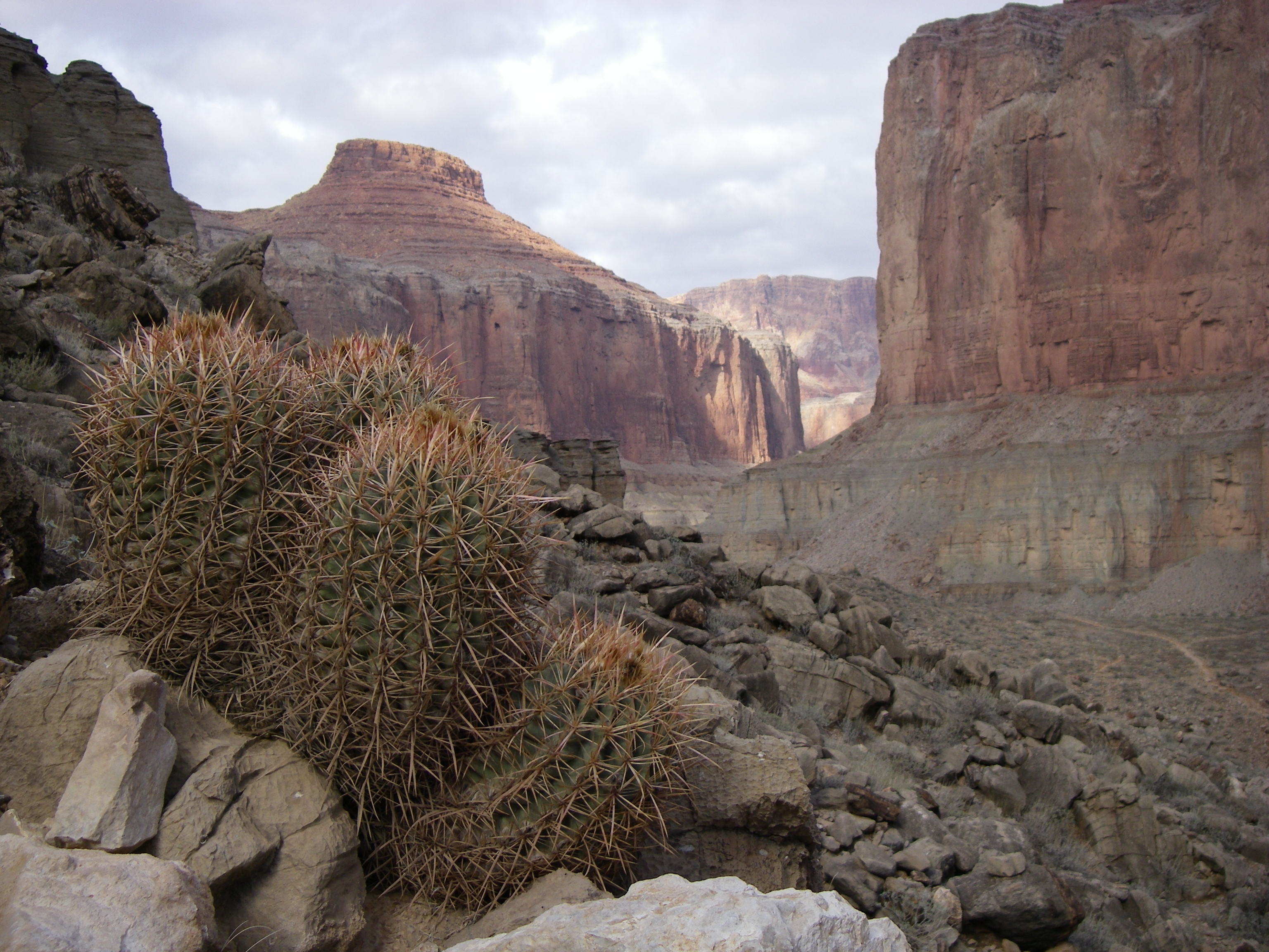
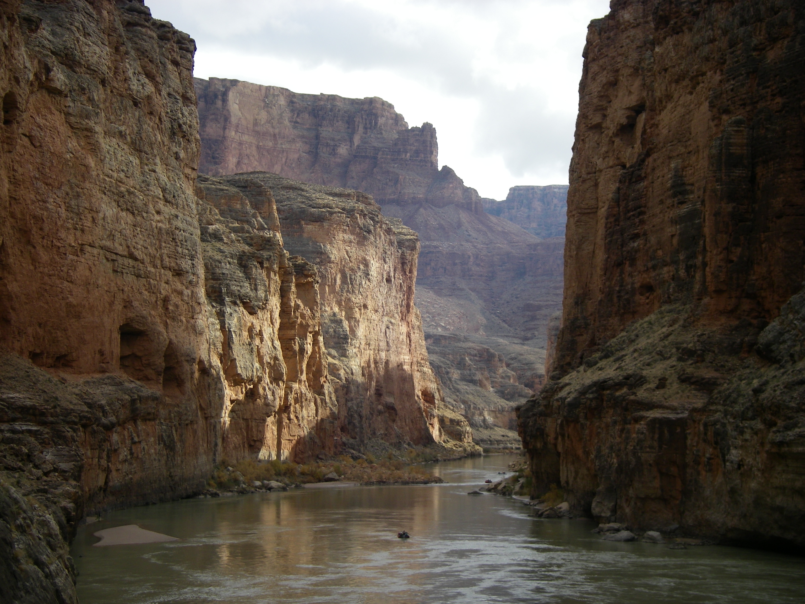
Grand Canyon, Colorado River, Arizona. This is the trip everyone loves to ask about. The one everyone has heard of. And yes, the one you should definitely do if every the opportunity arises. As a mentor guide once expressed, ‘If you get an invitation, do whatever it takes to go—quit your job, get a divorce, anything….’ I concur. The longer the trip the better, and motorized, in my opinion, is not an option. Realize that the trip is not really about the whitewater. Many of the rapids are famous and massive and a few of them even frightening, but the trip is about everything, the whole experience. It’s about spending days and nights on end immersed in wilderness. It’s about the places you get to. The beaches you sleep on, the side canyons you hike up—all magical environments and each one unique. It’s about the silence, the routine, the meals, the comradery, the festivities, the complete absorption into a totally different way of life. For many, once the trip is over, it can be difficult to face the old realities. I’ve been twice: a 30-day winter trip and for 25-days in the spring. The toughest part of each trip, up to the point of legendary stories, generally has something to do with small group social dynamics. Friendships and romances may be forged forever, or dissolve in disaster (sometimes on the same trip in a related manner!). People have different goals, and desires, and habits, and schedules, and work ethic. But for the most part, small disagreements can be easily resolved, and each trip can be a positive and even life-changing experience for all. No matter what happens, however, as with all river trips, there will be memories engraved, stories which will not be forgotten.
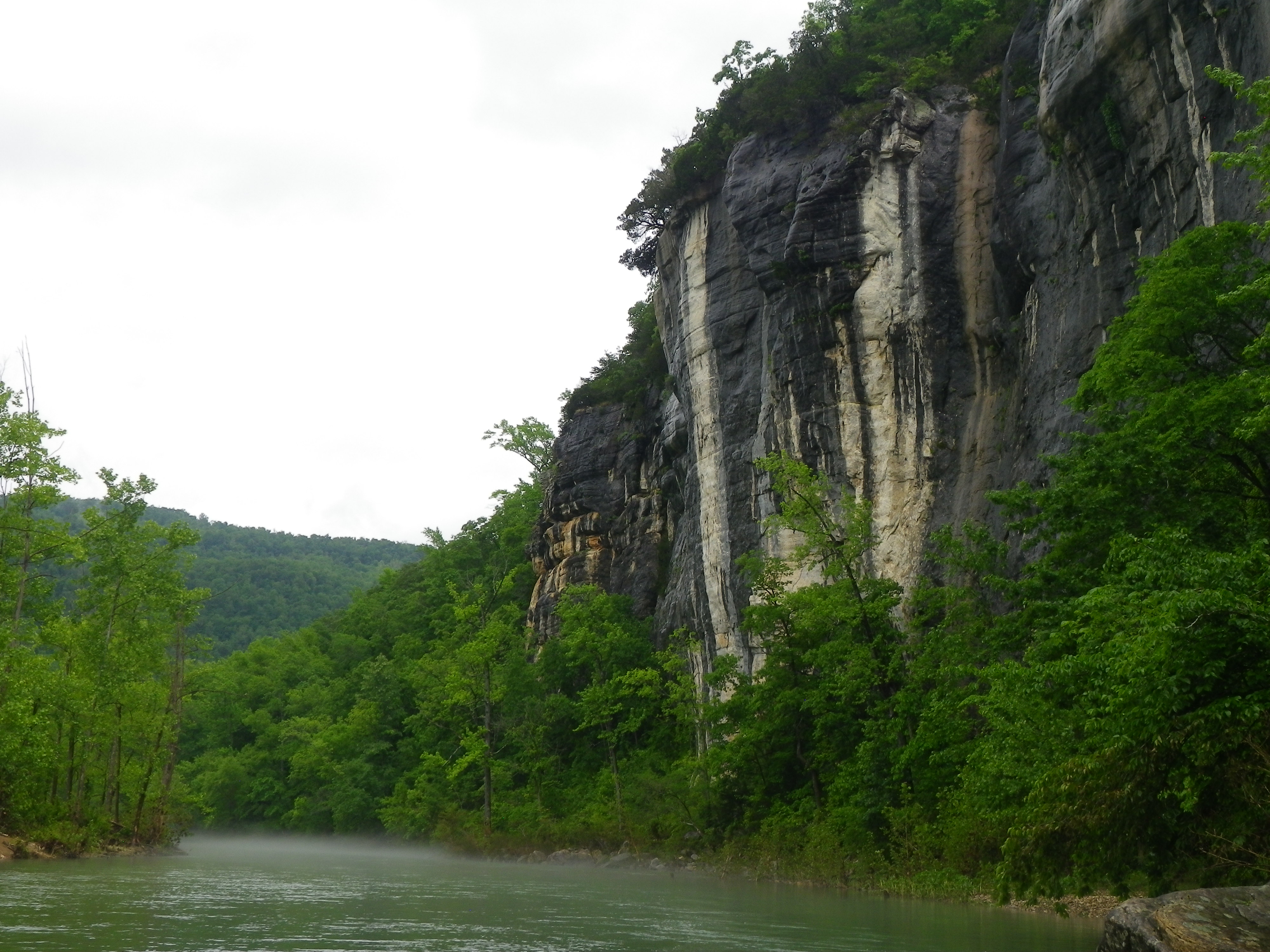
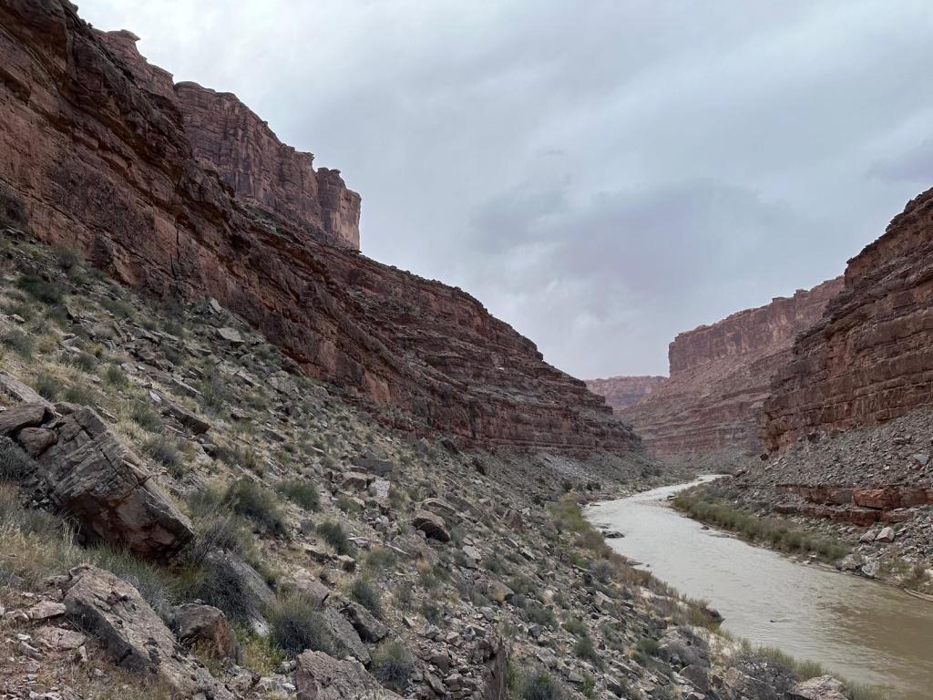
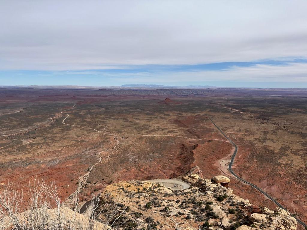
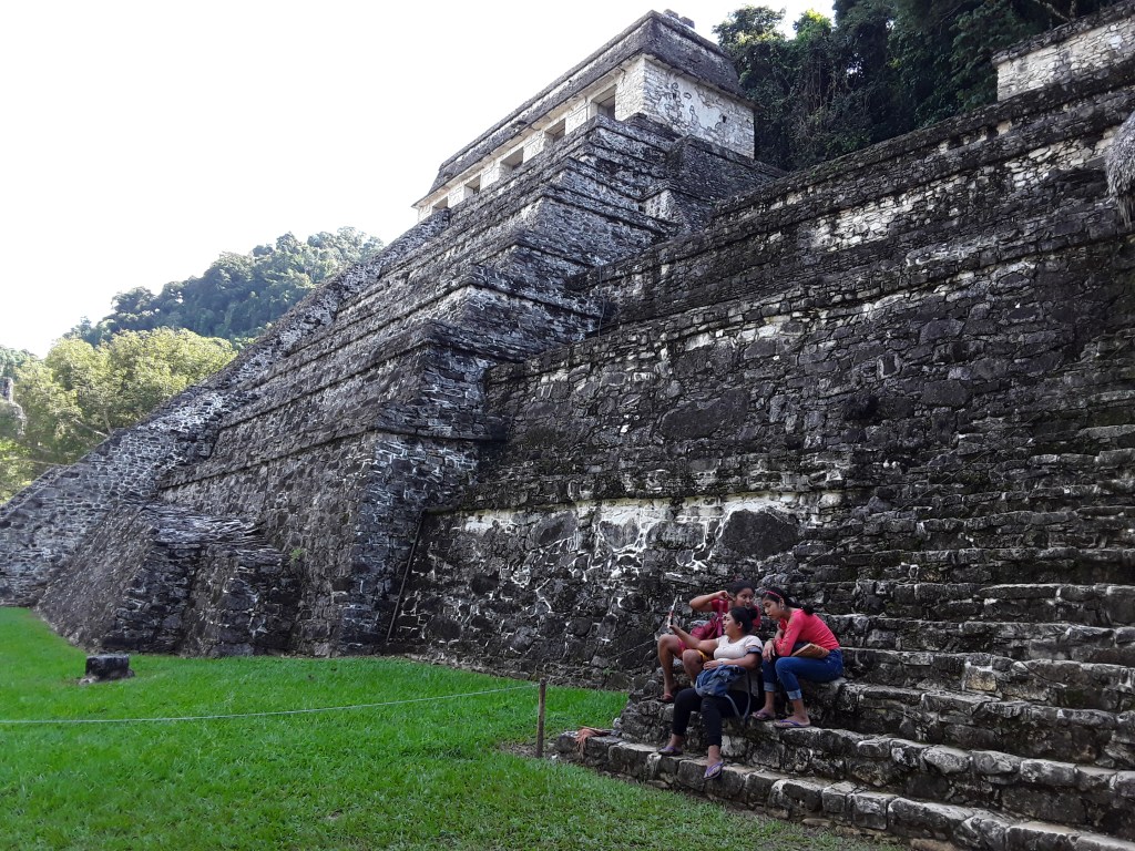
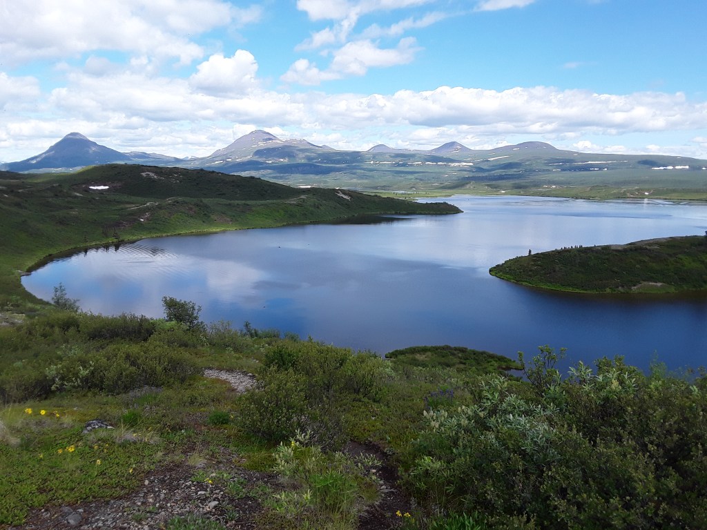
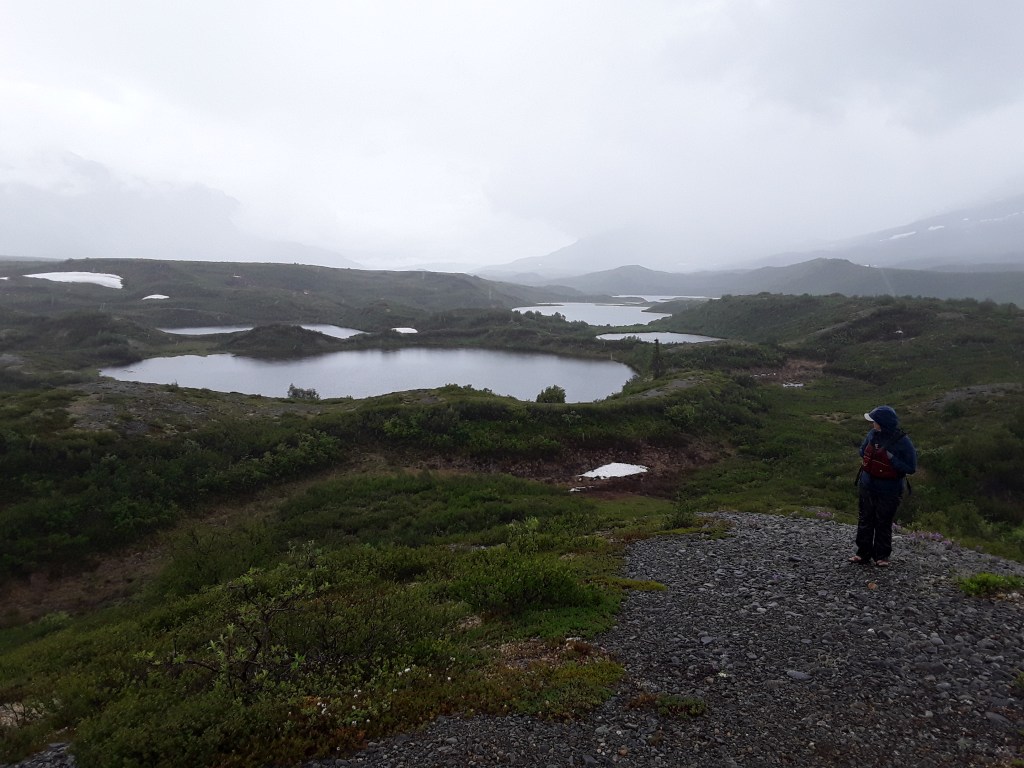
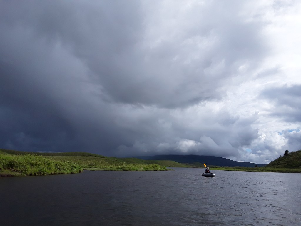
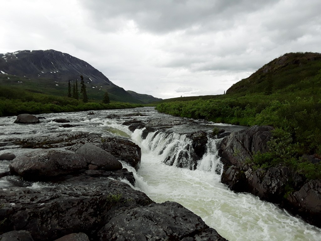
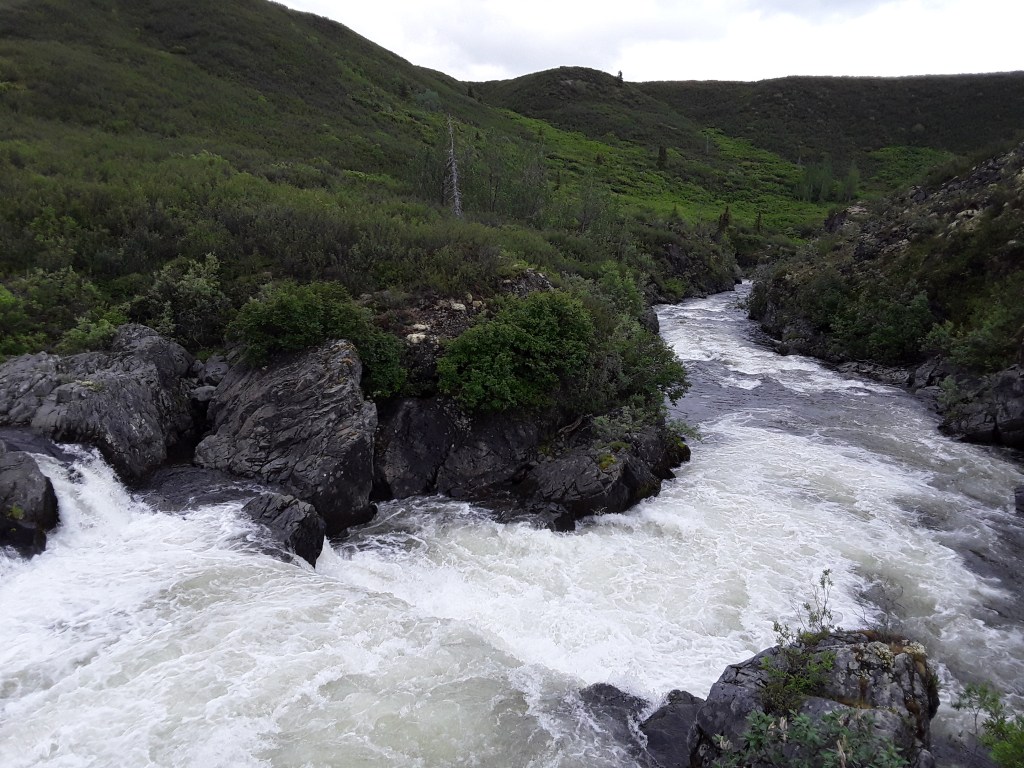
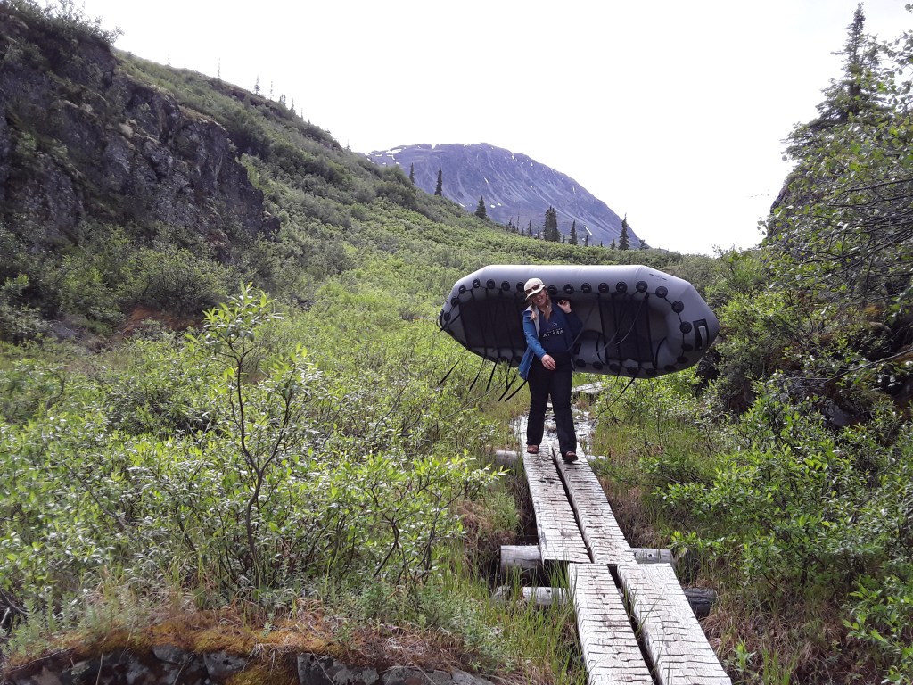
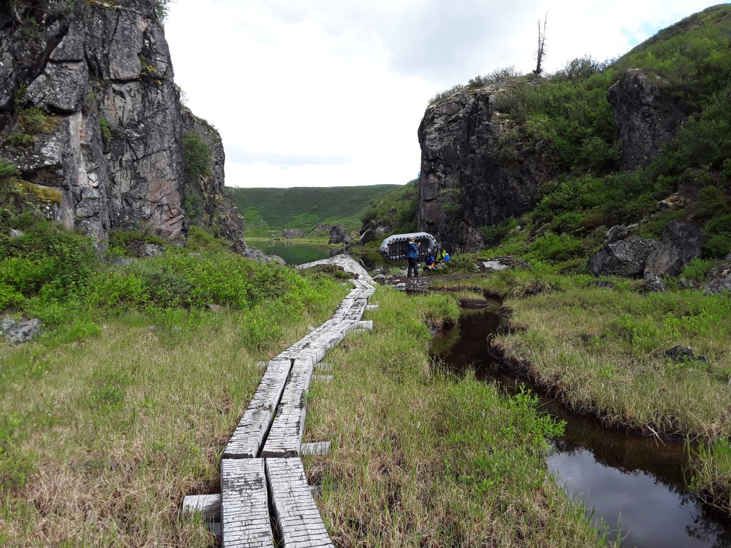
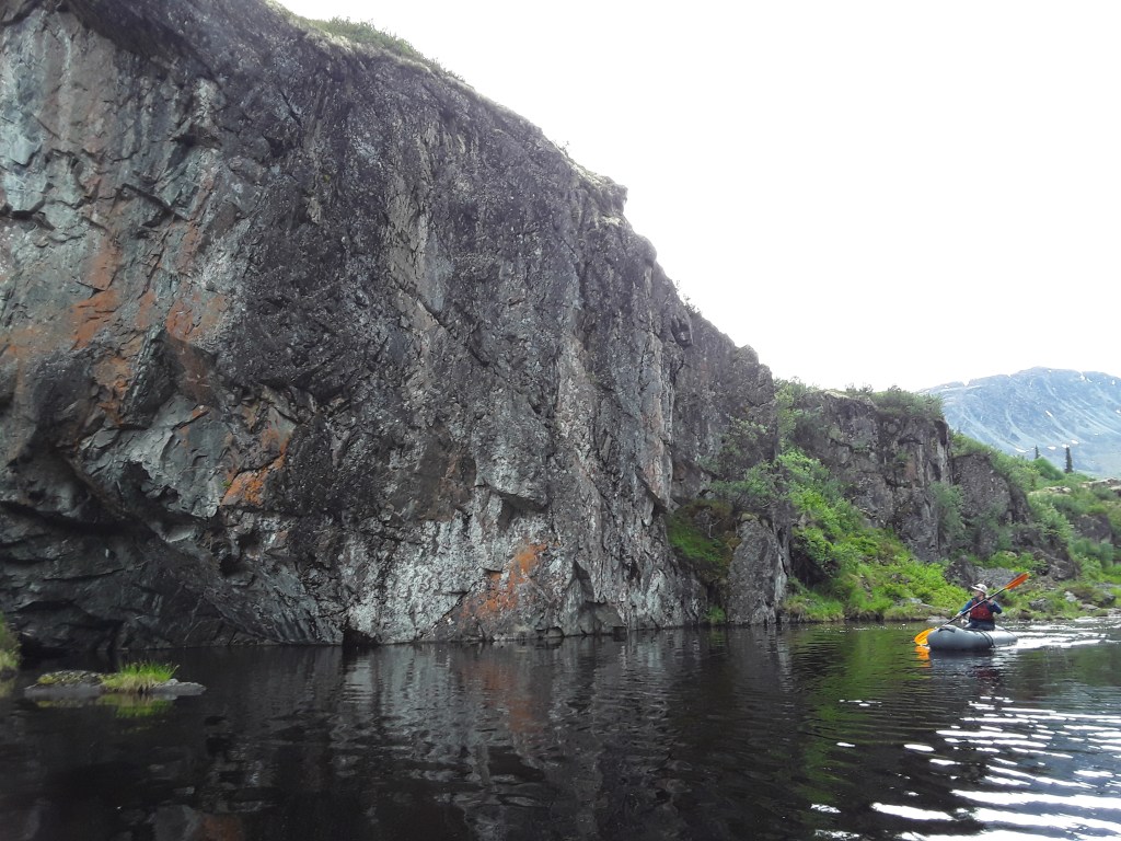
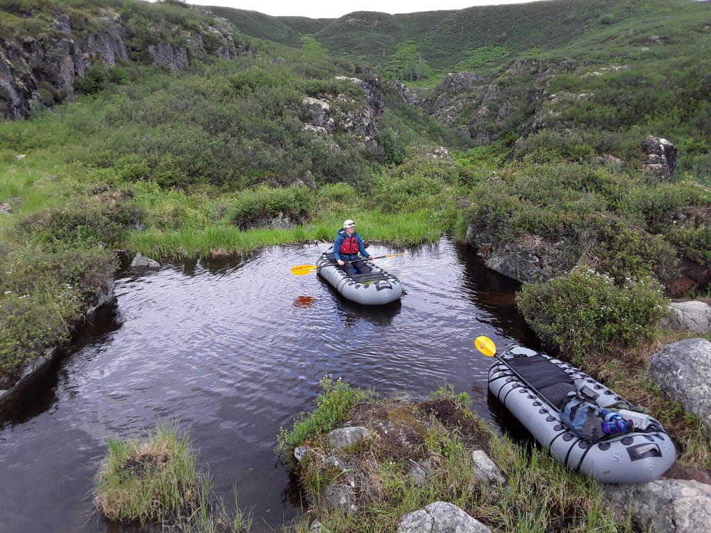
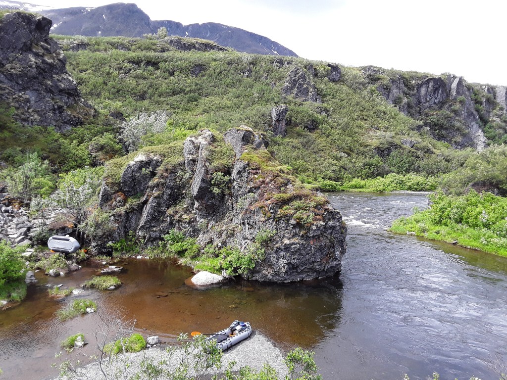
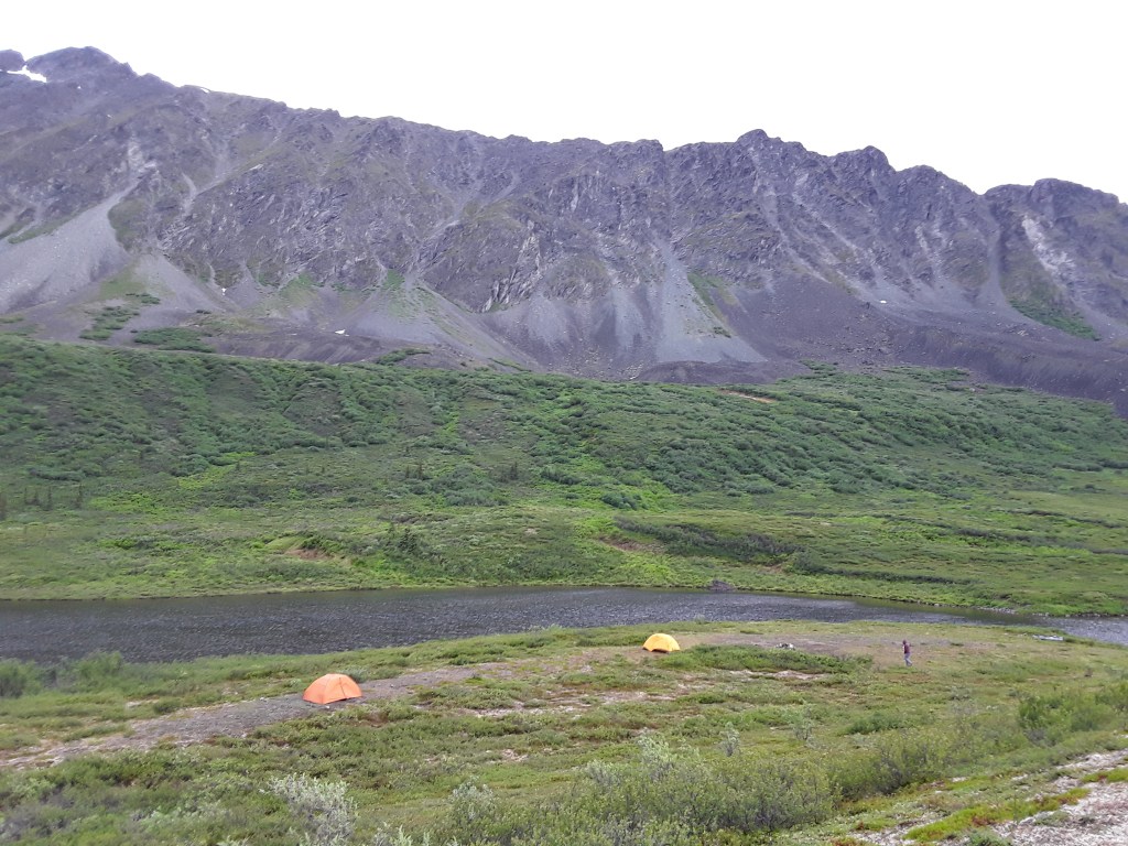
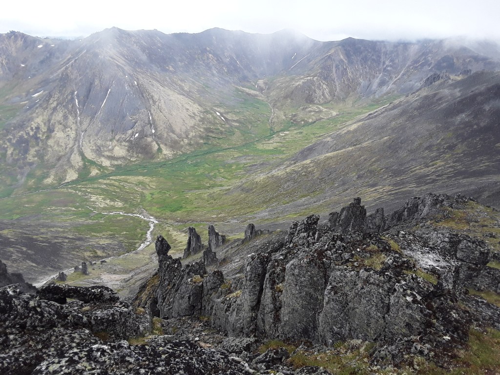
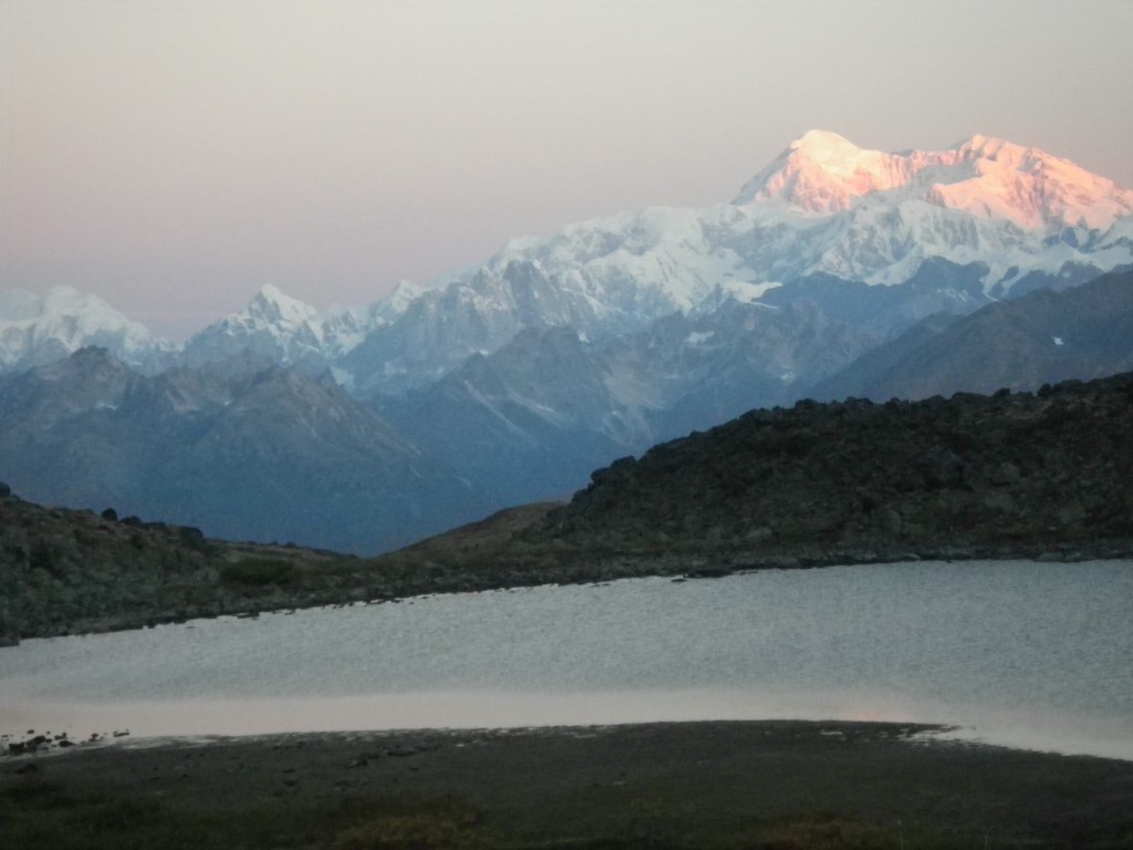
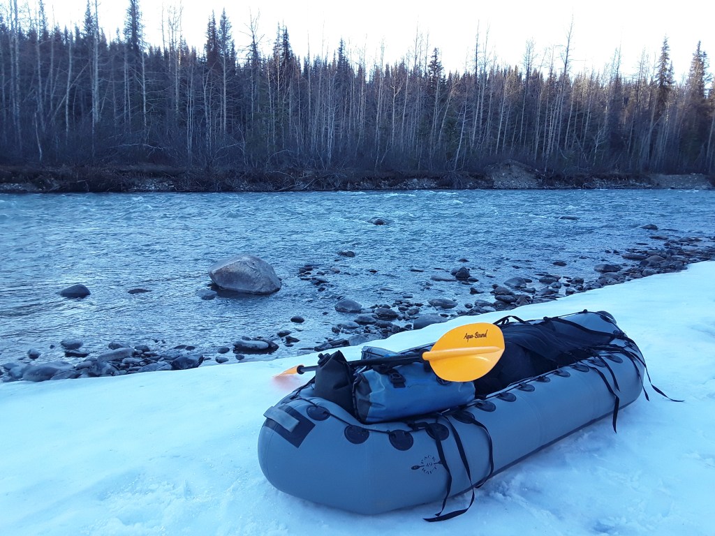
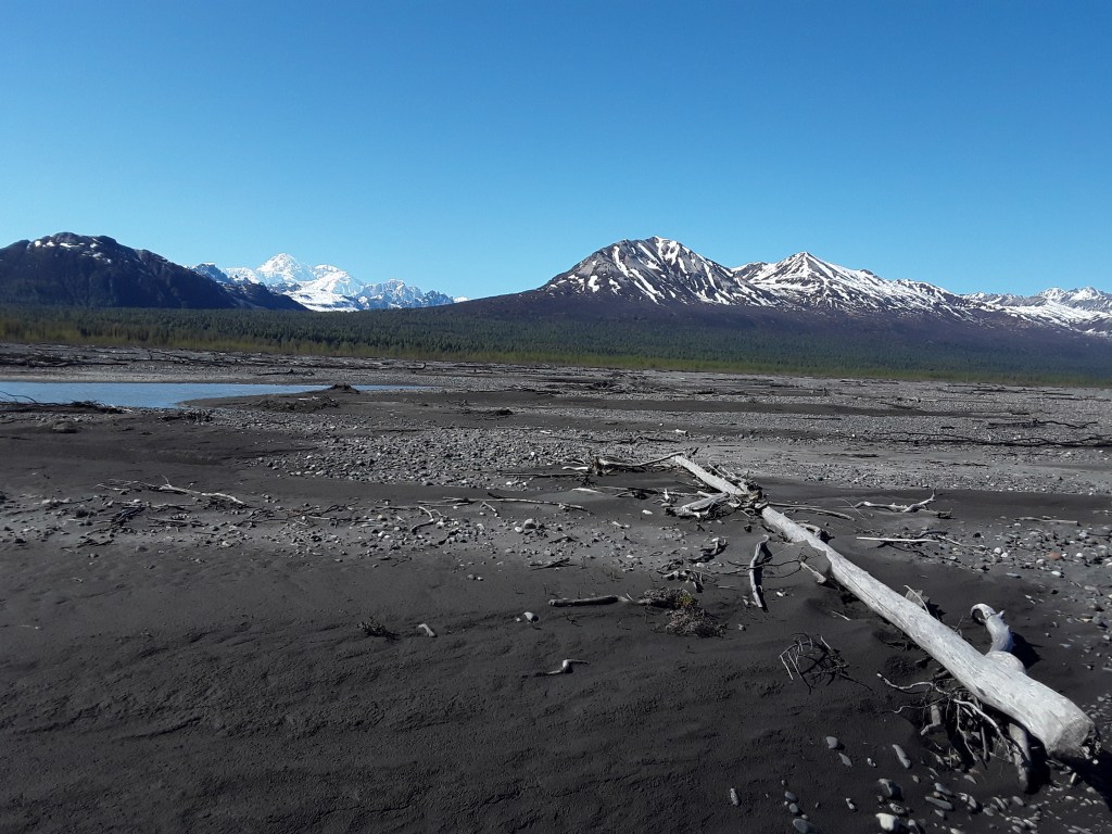
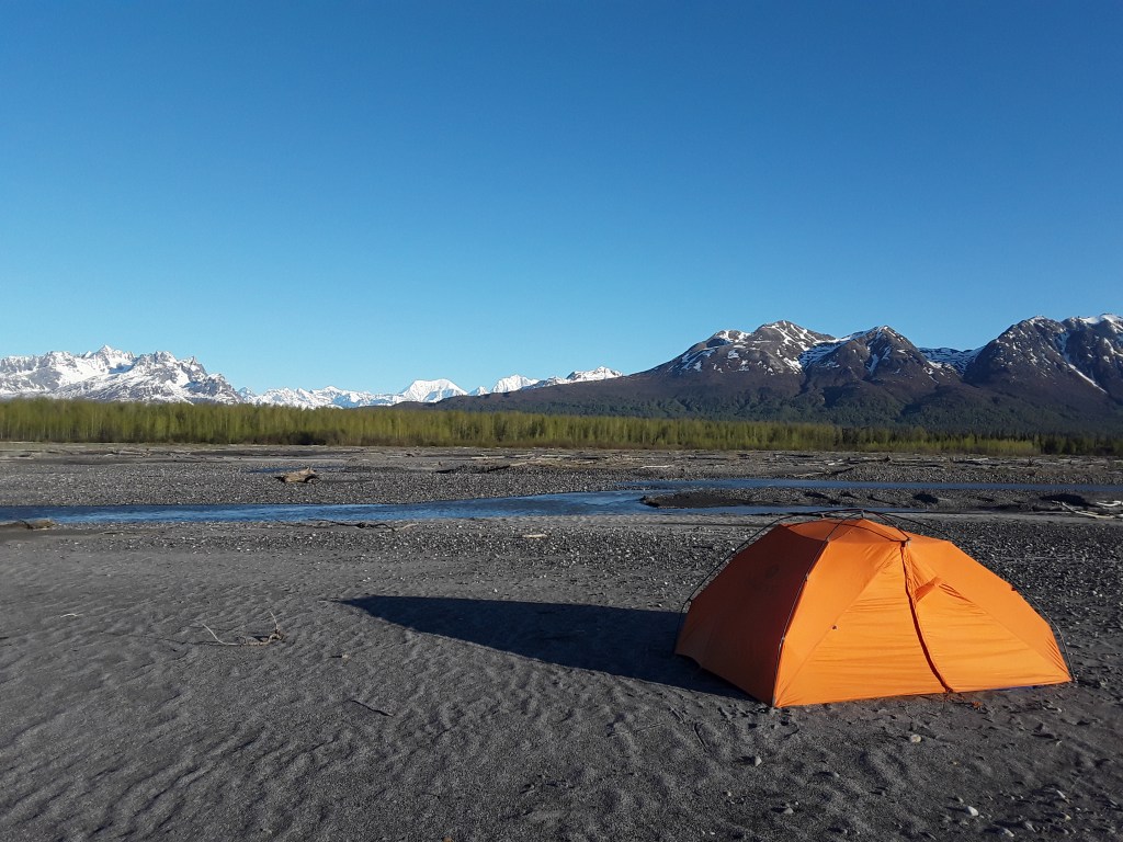
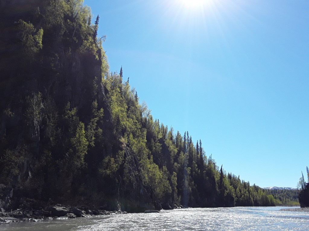
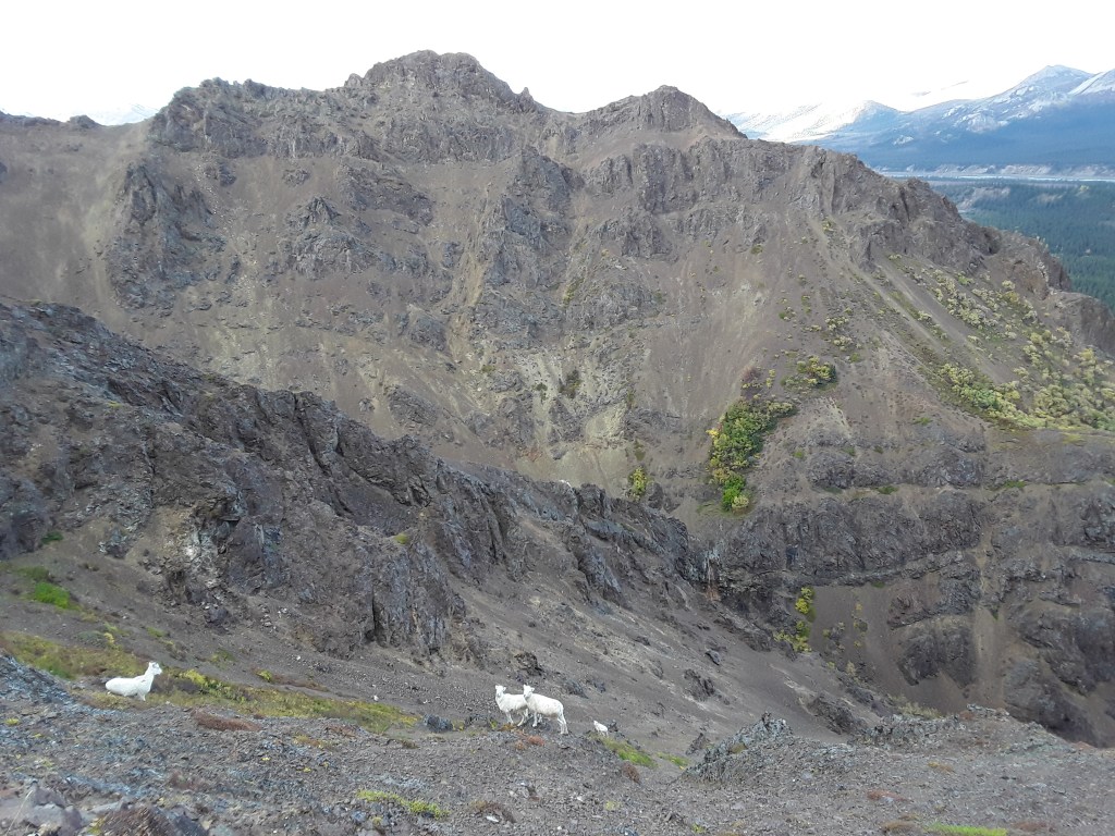
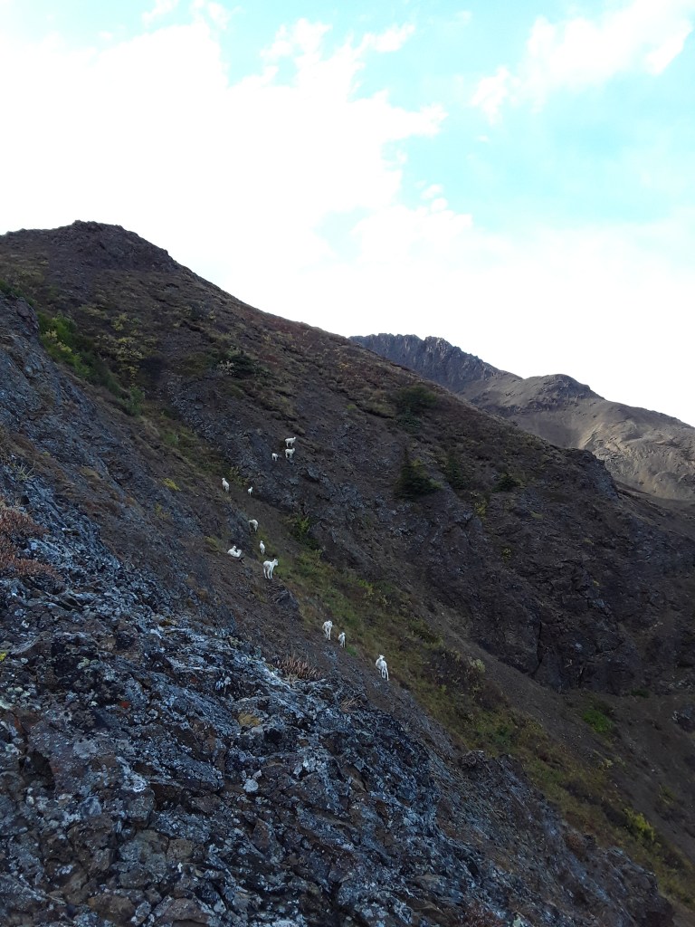
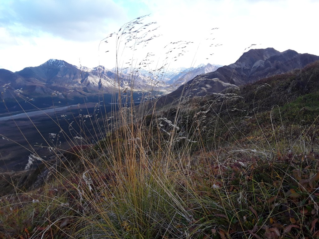
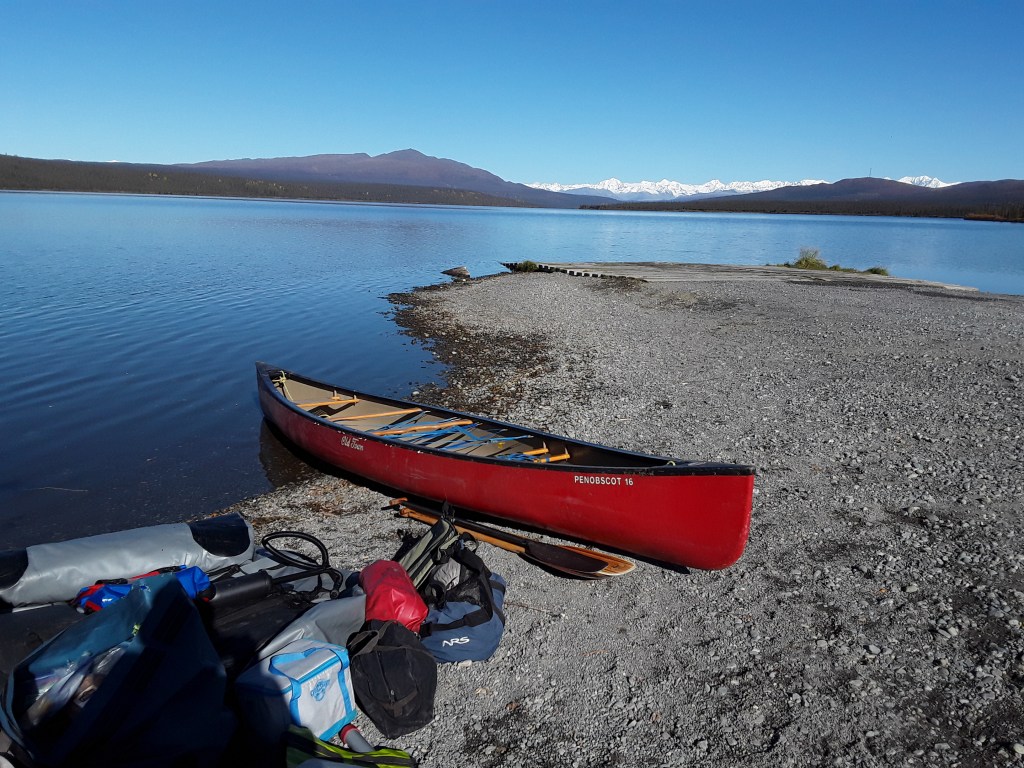
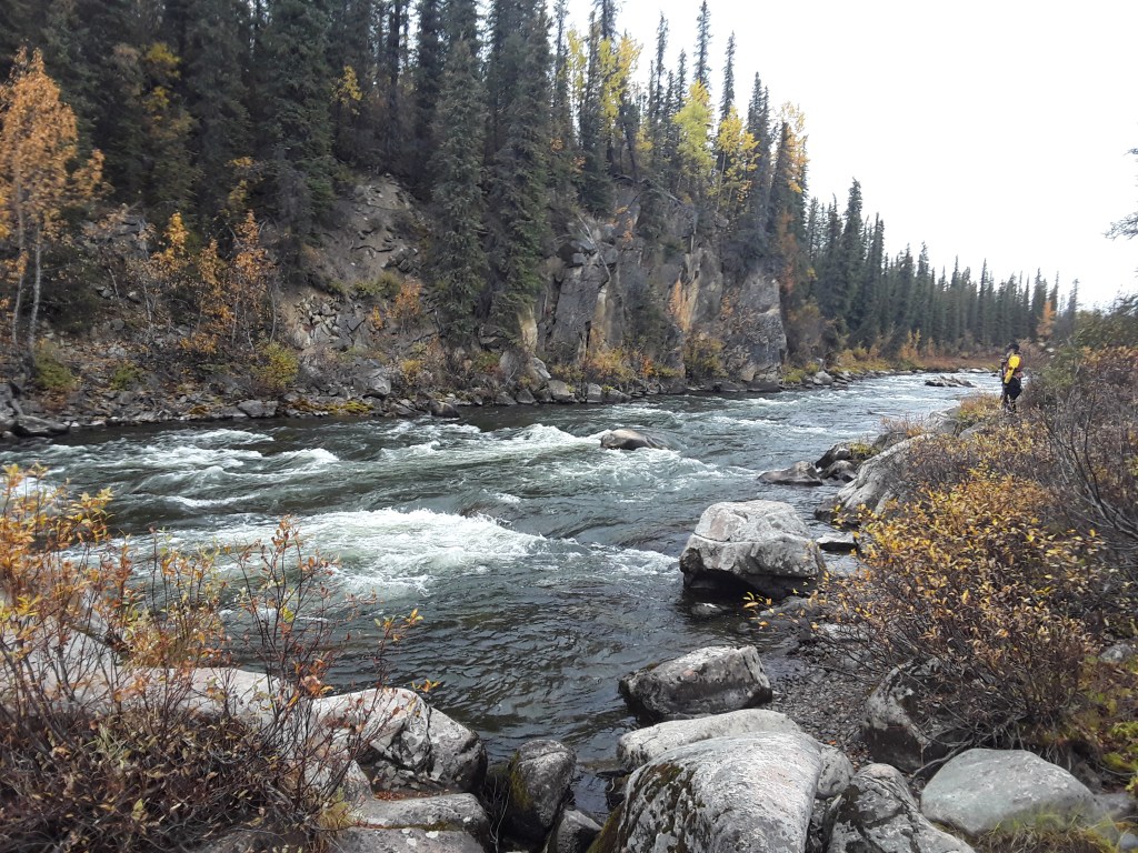
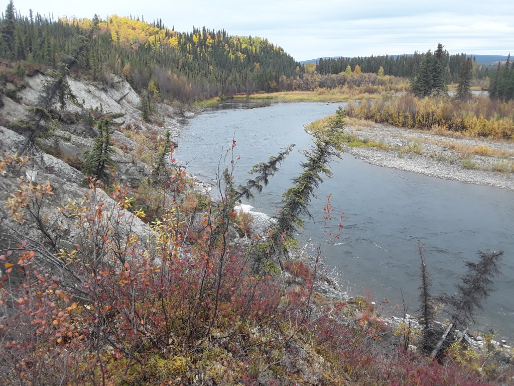
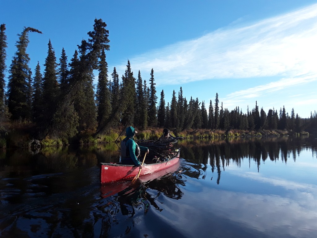
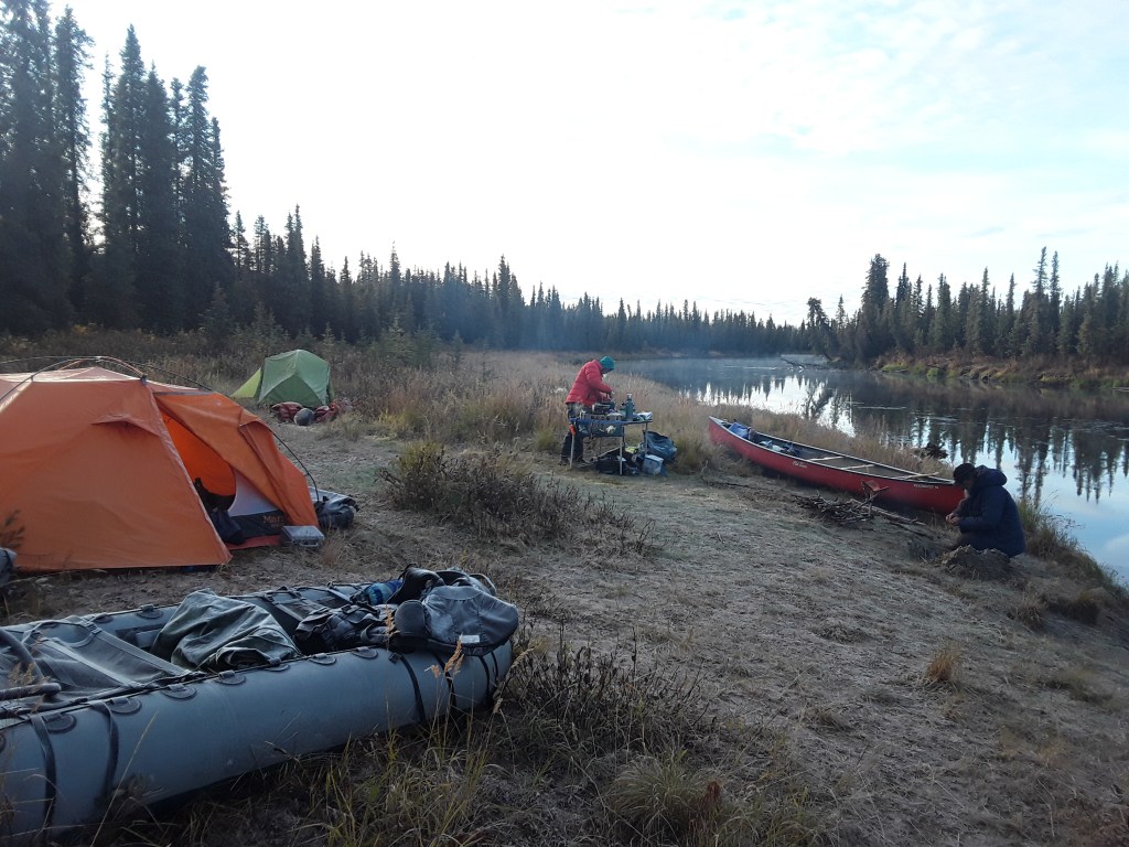
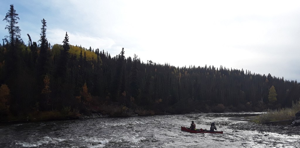
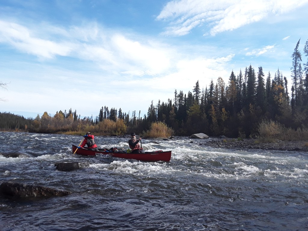
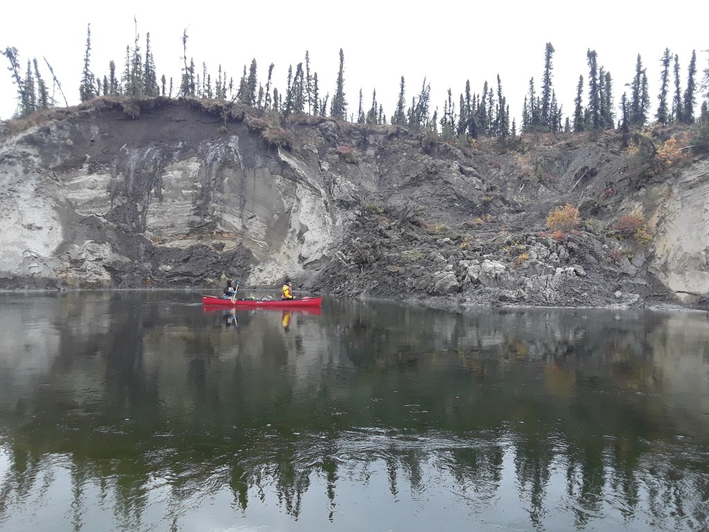
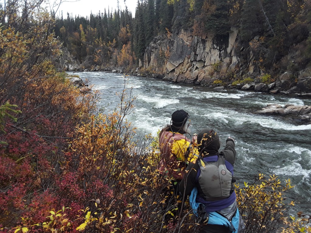
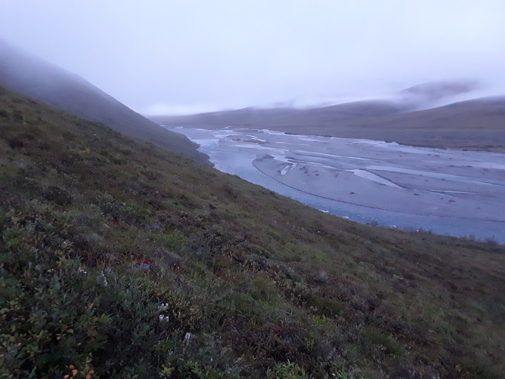
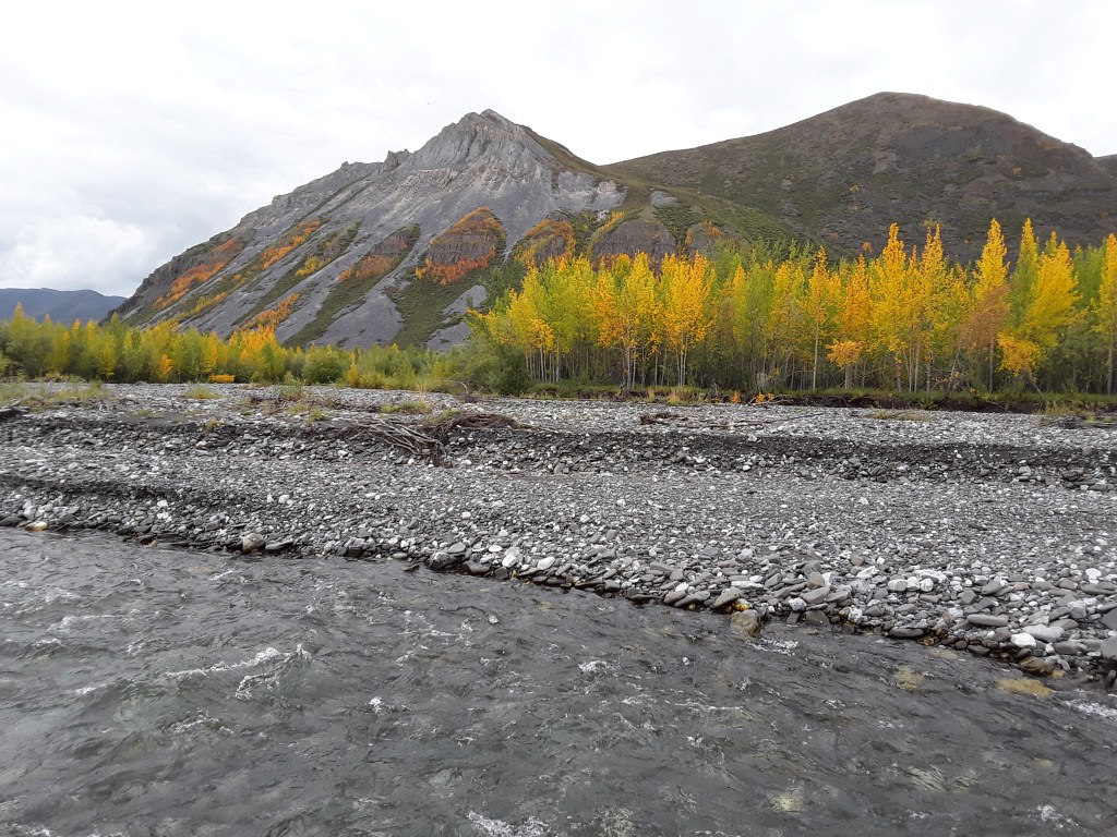
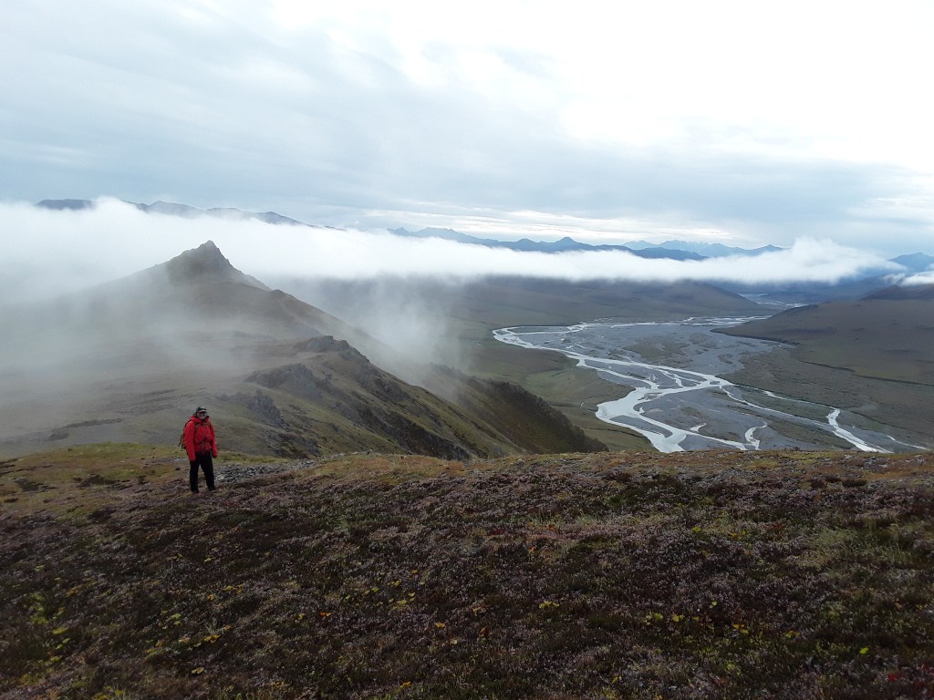
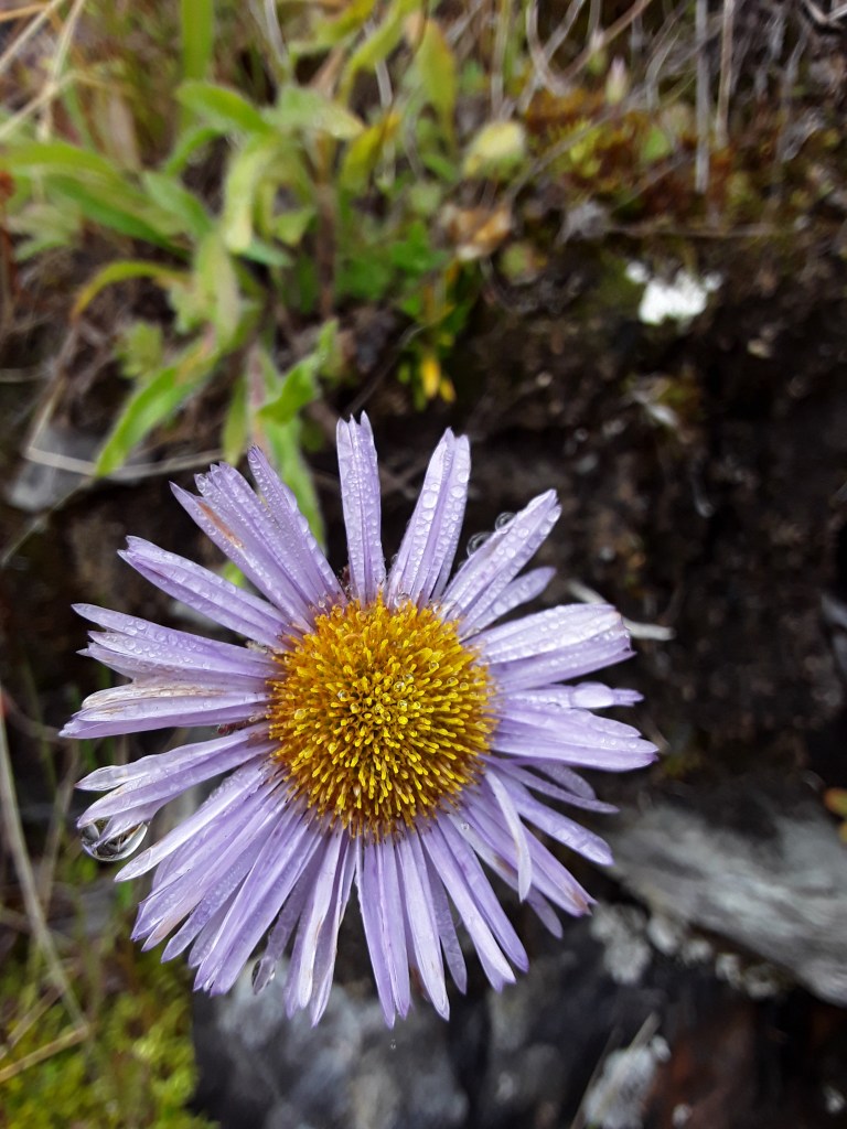
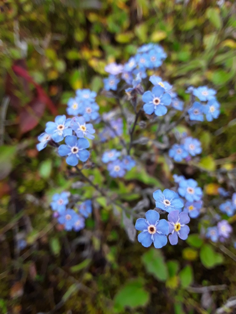
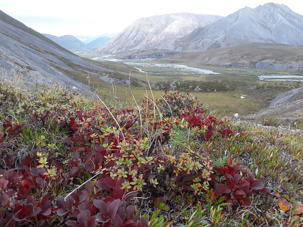
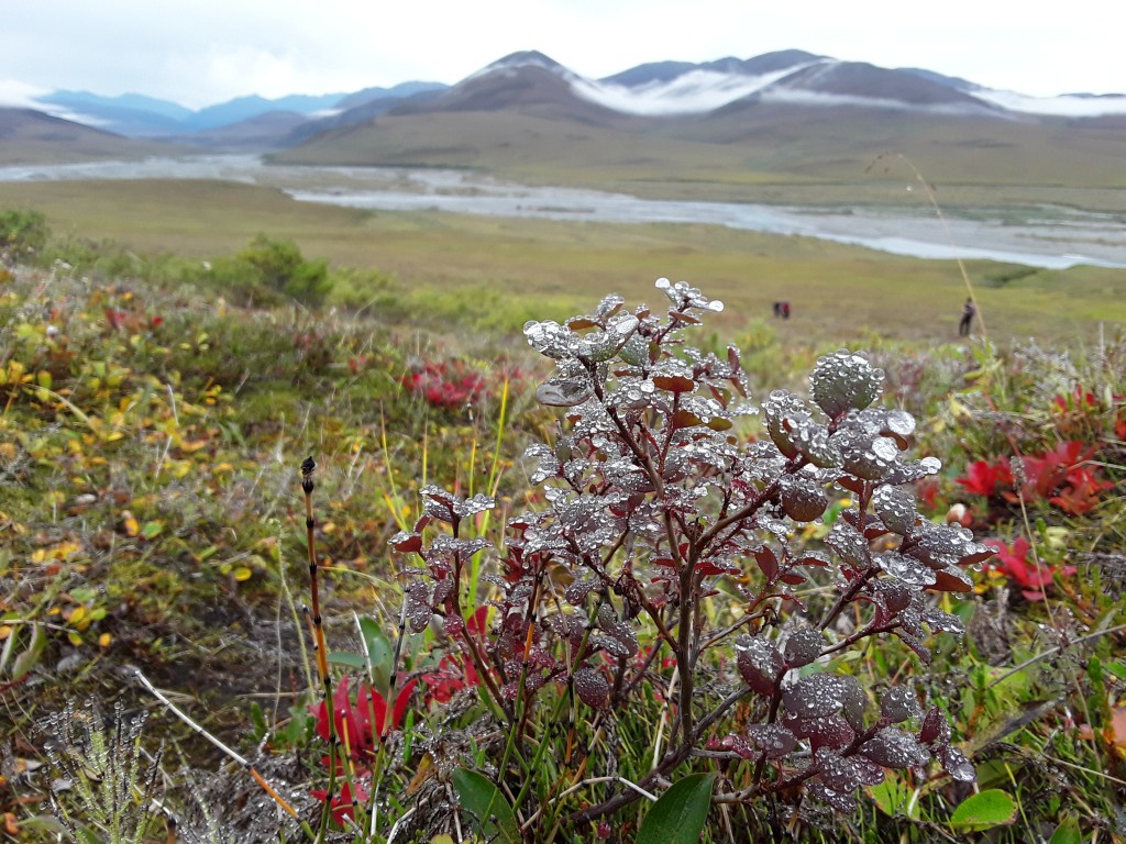
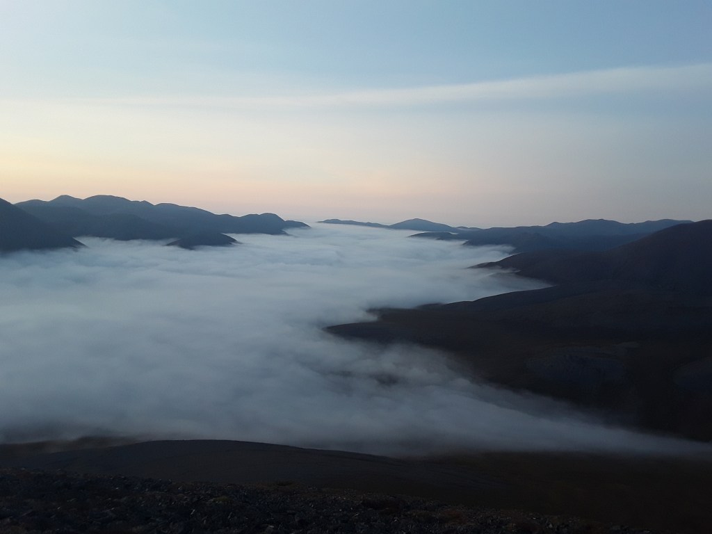
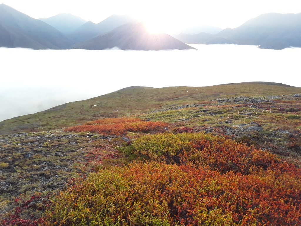
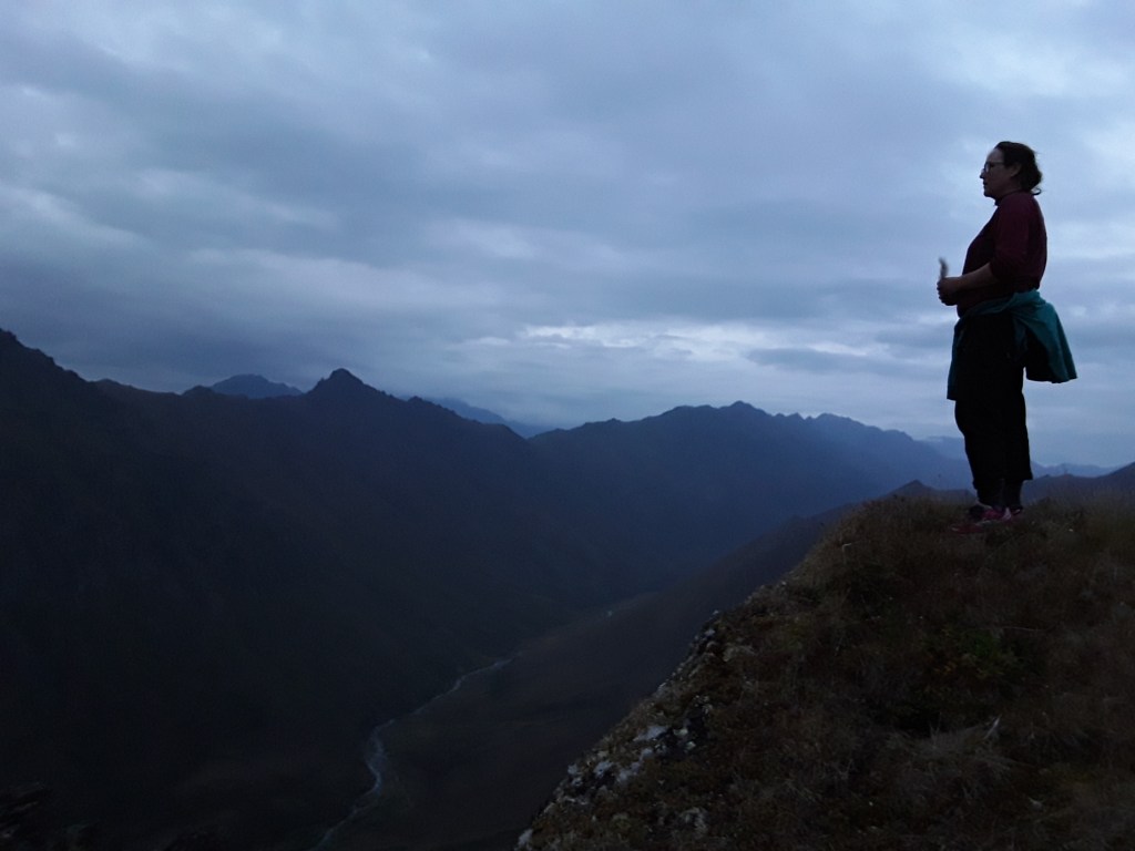
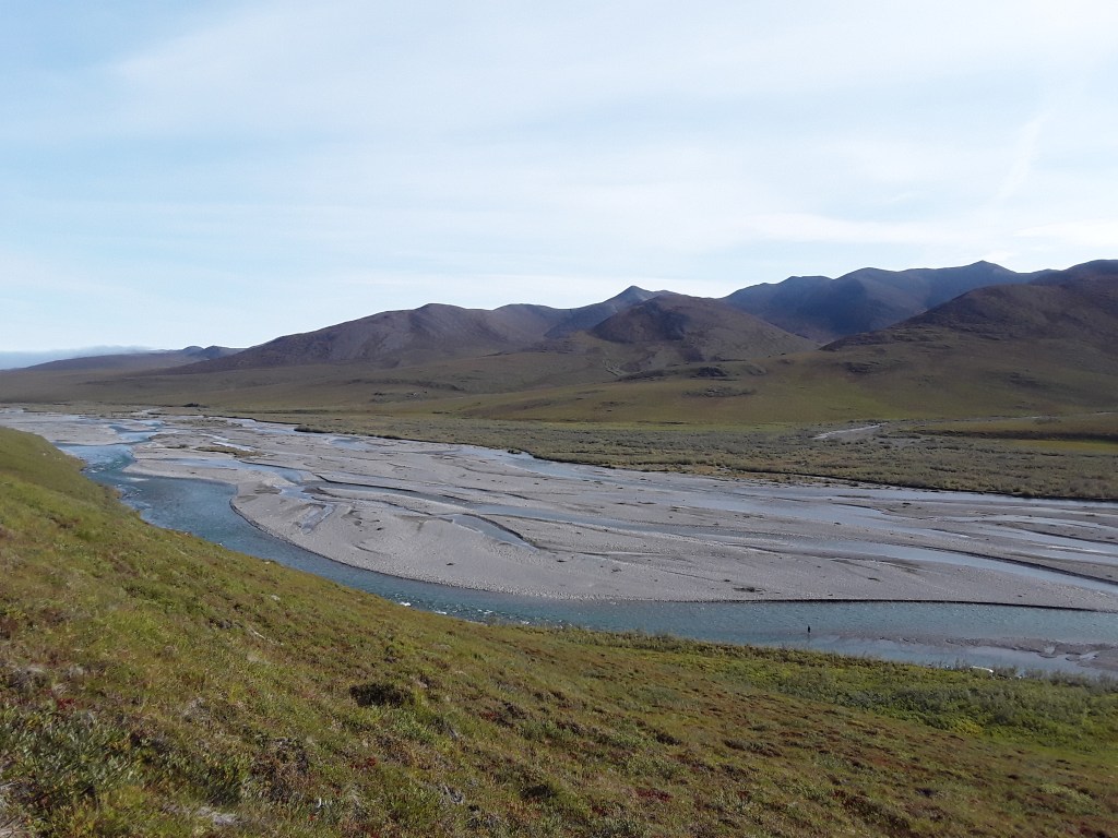
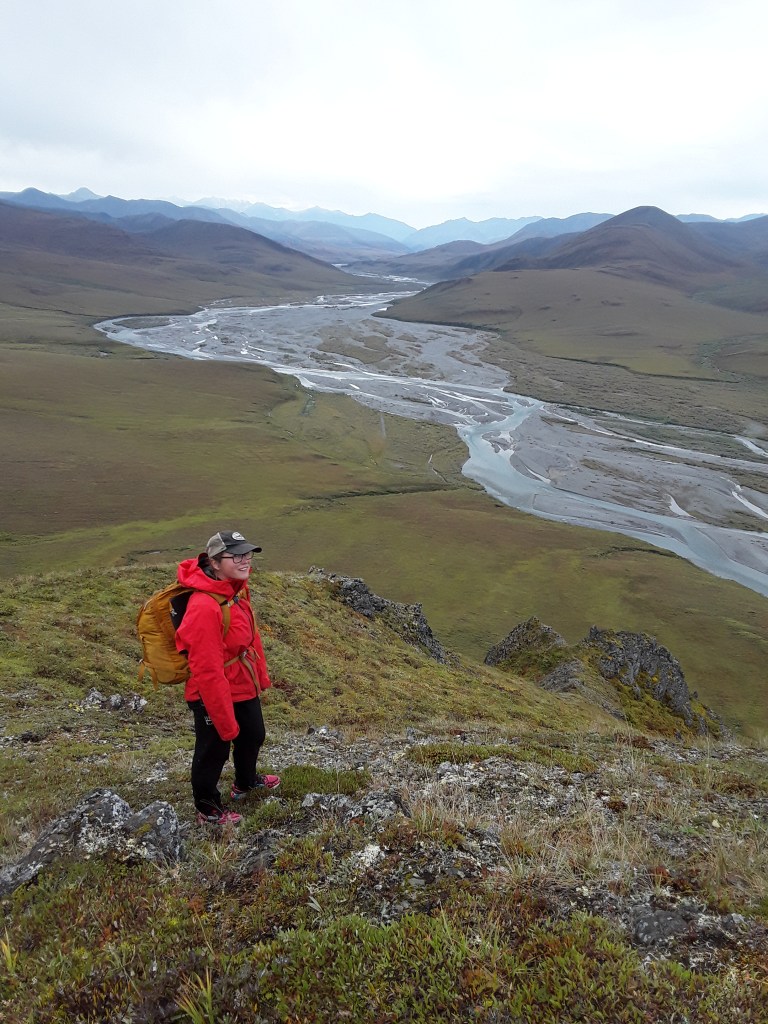
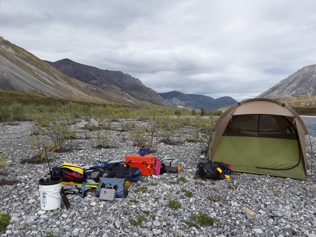
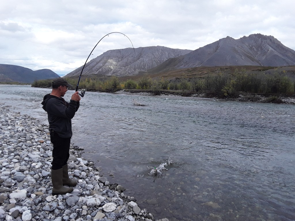
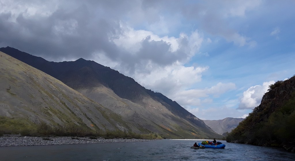
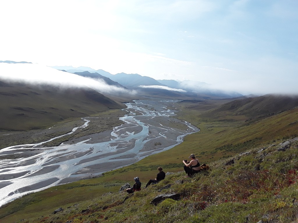
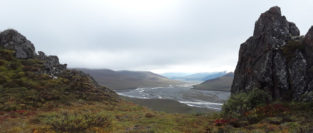
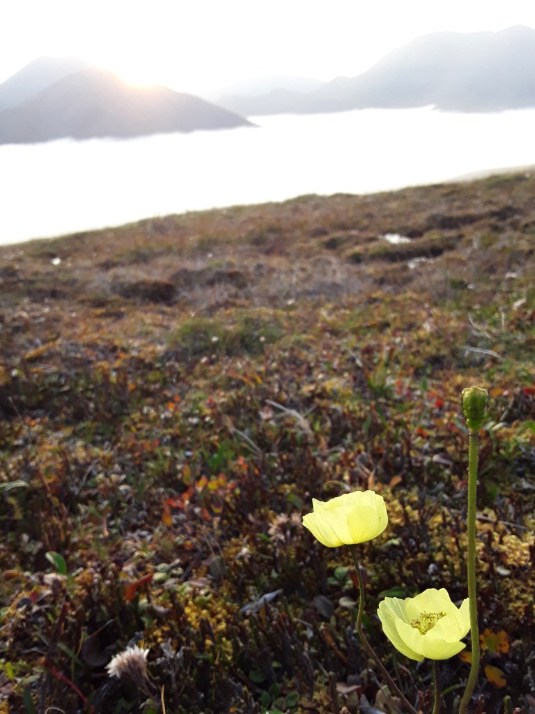
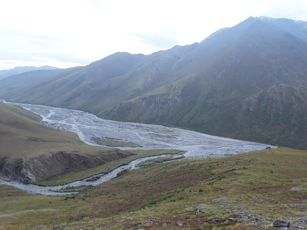
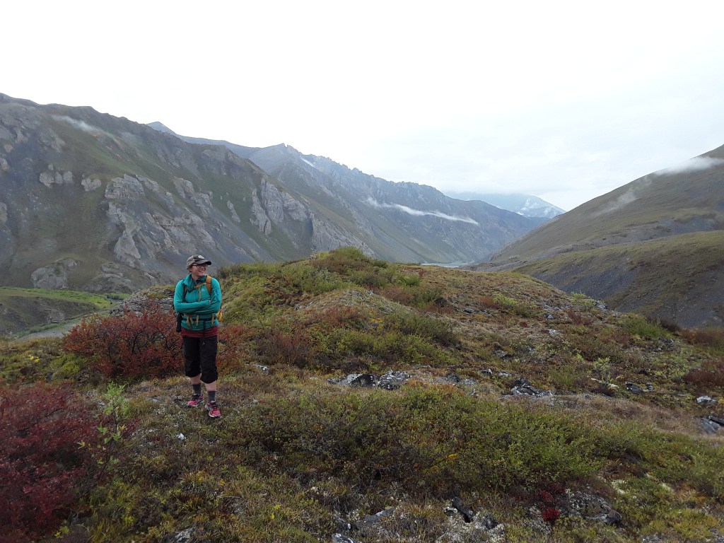
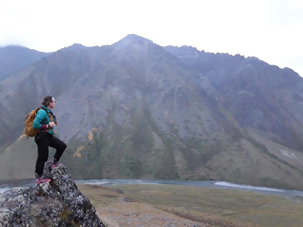
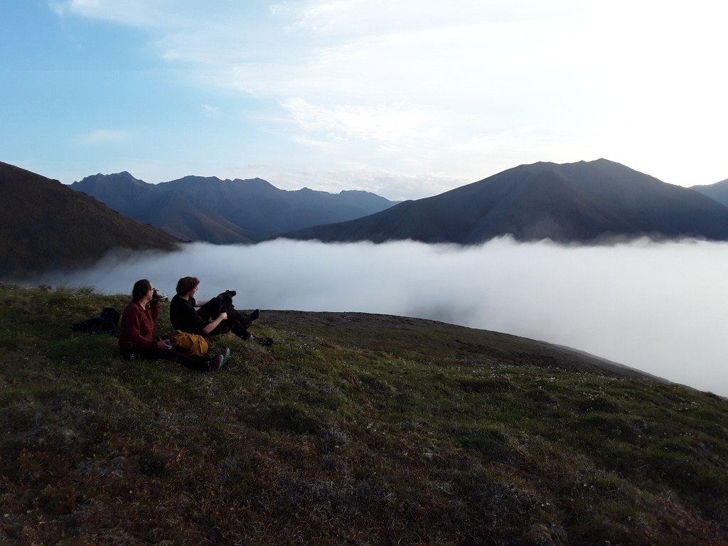
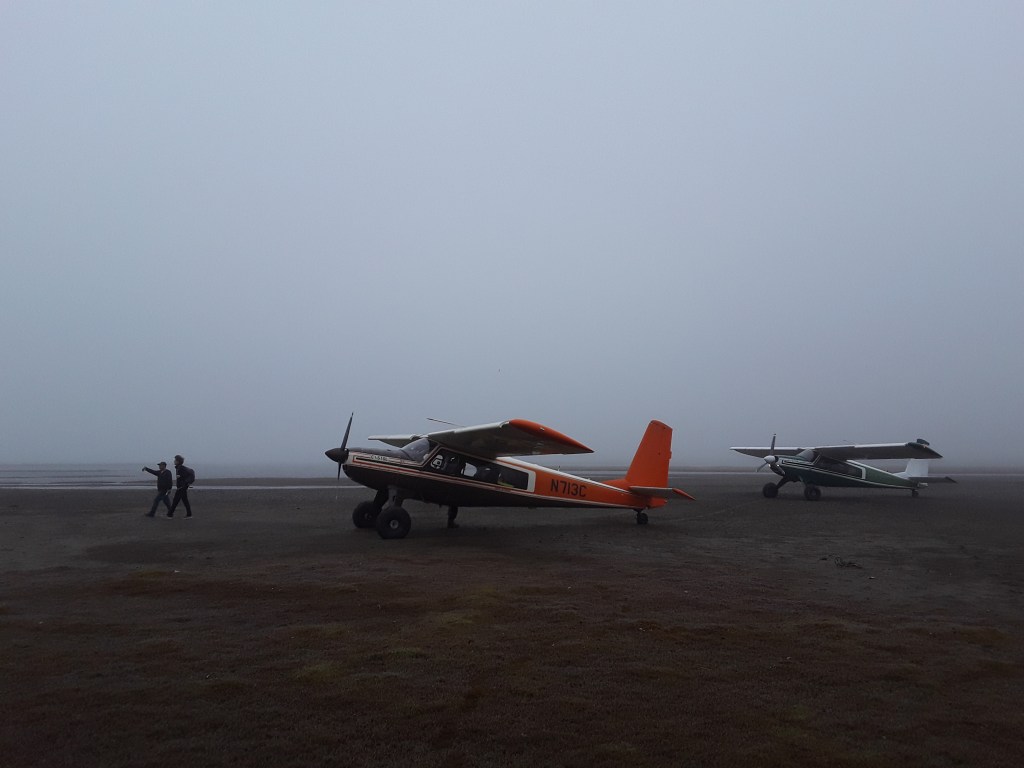
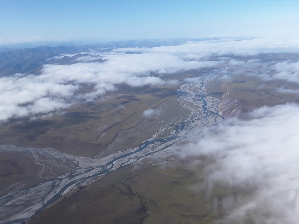
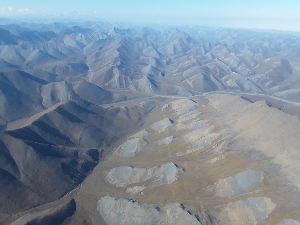
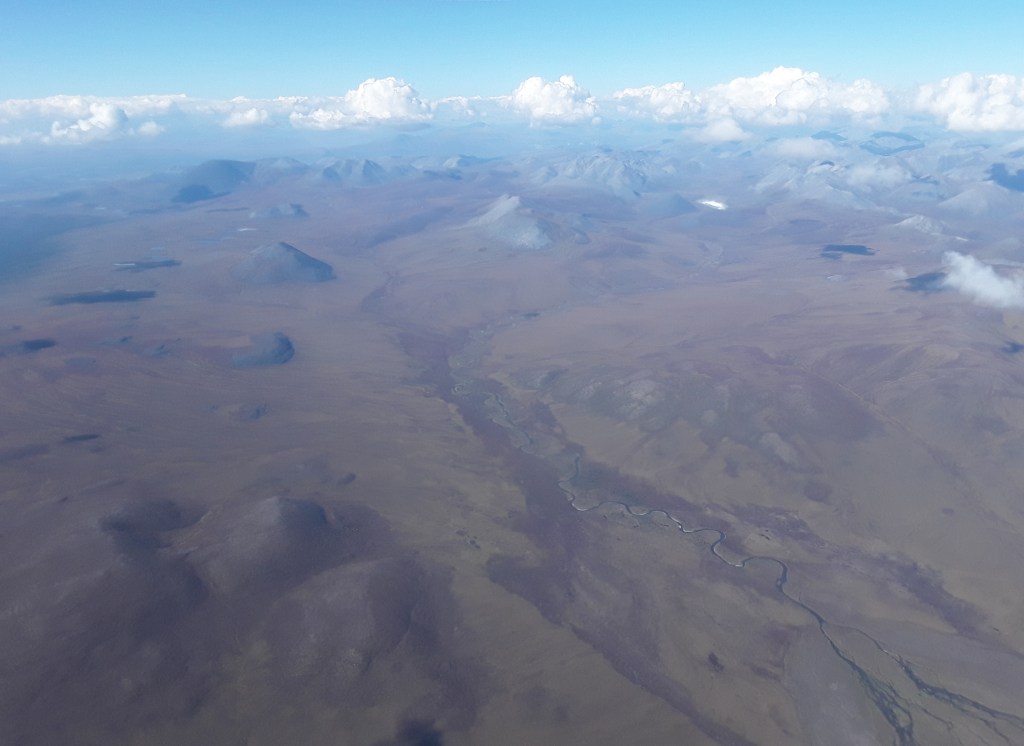
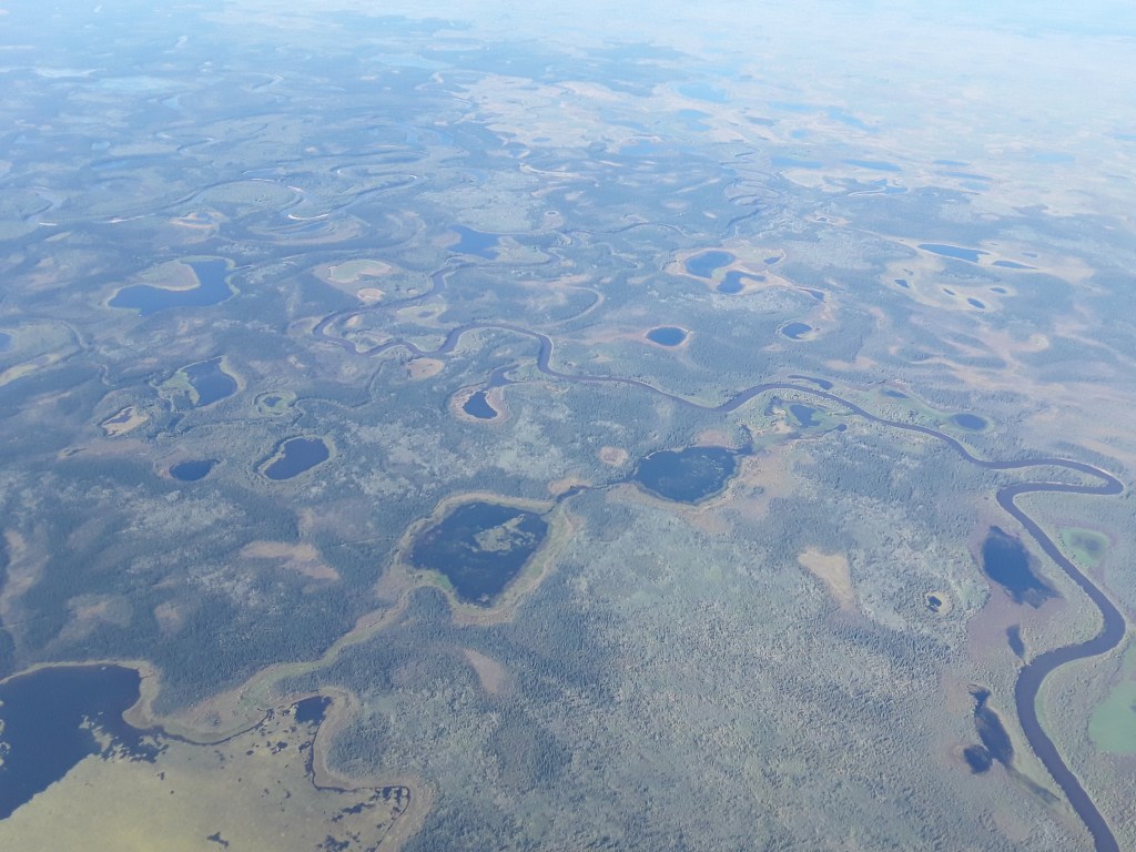
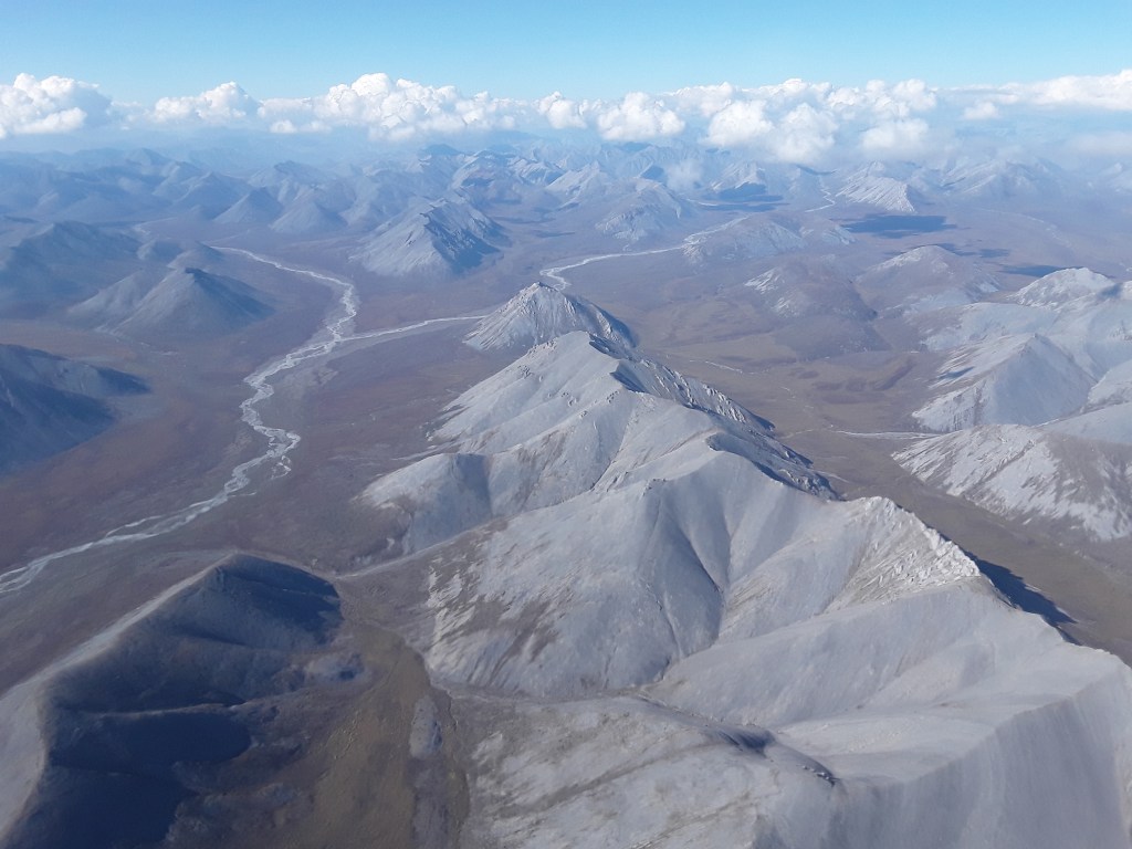
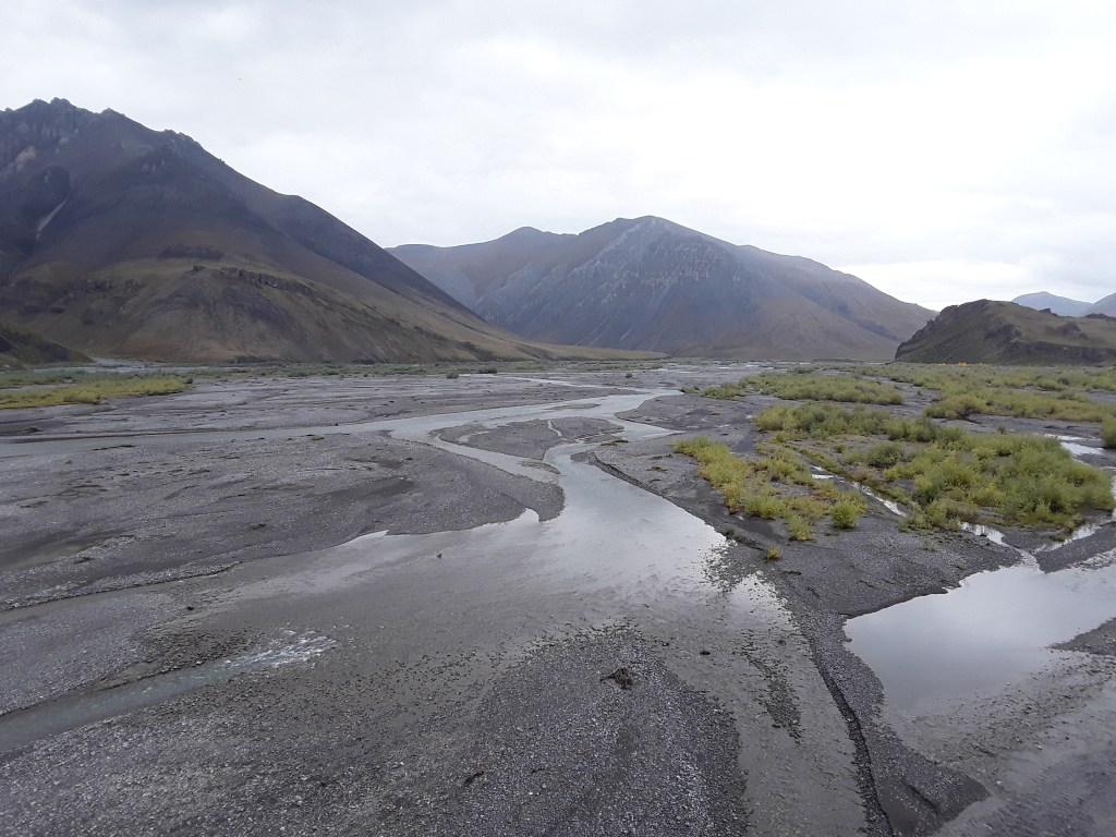
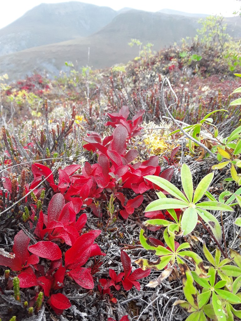
Buffalo River, Arkansas. For the non-initiated, hanging out around a campfire with a bunch of guides can be excruciatingly boring as far as conversation goes—it’s big rivers, epic trips, and carnage stories on repeat. It’s questions about different sections and logistics and wheres and whens, and I’ve always enjoyed gleaning information about potential rivers to check out. Many of those rivers of campfire lore I know personally by now, and am grateful to be able to say that. But I also always like to ask clients what rivers they know of in their own home states, which often elicits a few guffaws and stories about tubing booze cruises, but occasionally instills inspiration for low-key exploration should the opportunity arise—say, for instance, one just happens to be driving through Arkansas with a few days to spare and access to a canoe. Wherever there’s water and the slightest bit of elevation, there are rivers, often running through beautiful places the world over. The Buffalo was one of them, along with the Niobrara in Nebraska, the Upper Missouri in Montana, the Hocking in Ohio, too many rivers to count in Florida, and so forth. I recently read that there are around 3,000 rivers in Alaska, and don’t know whether to be daunted or inspired when considering the endless opportunities alongside the various commitments necessary to experience just about any of them.
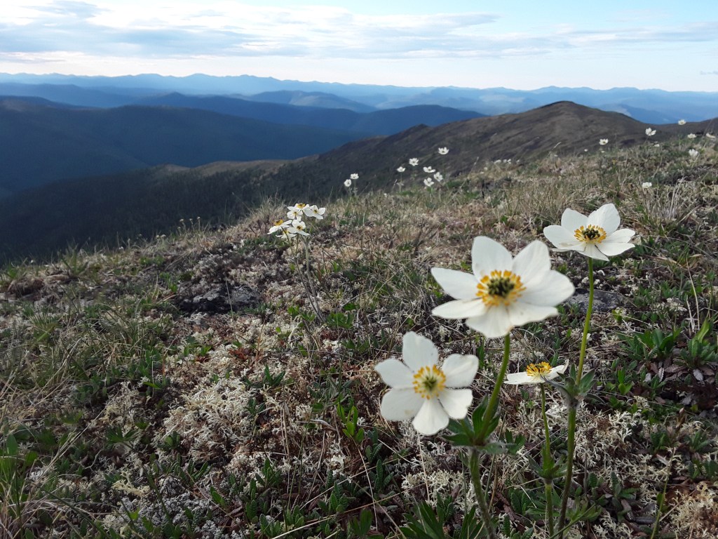
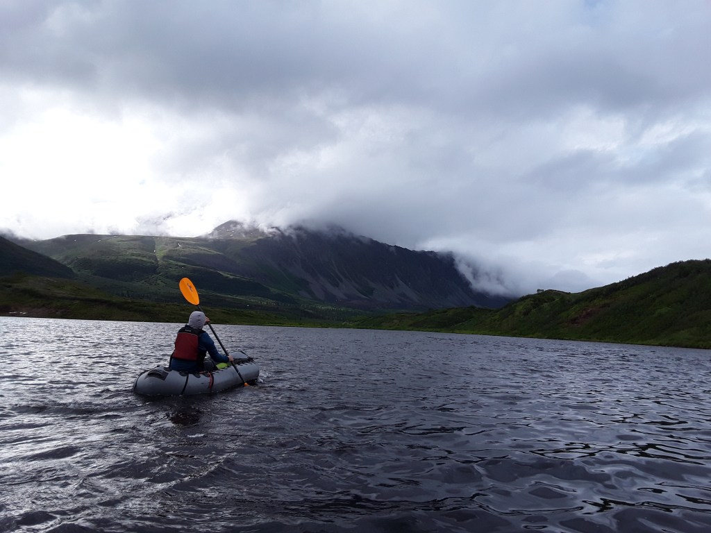
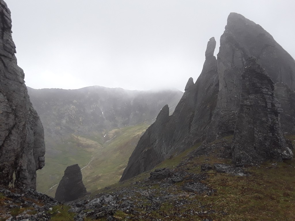
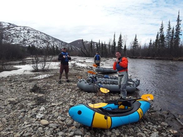
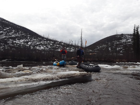
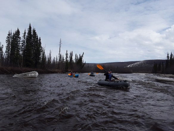
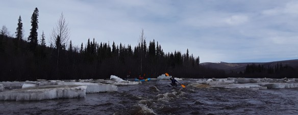
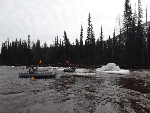
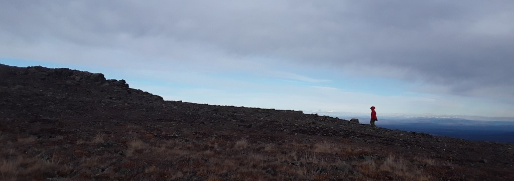
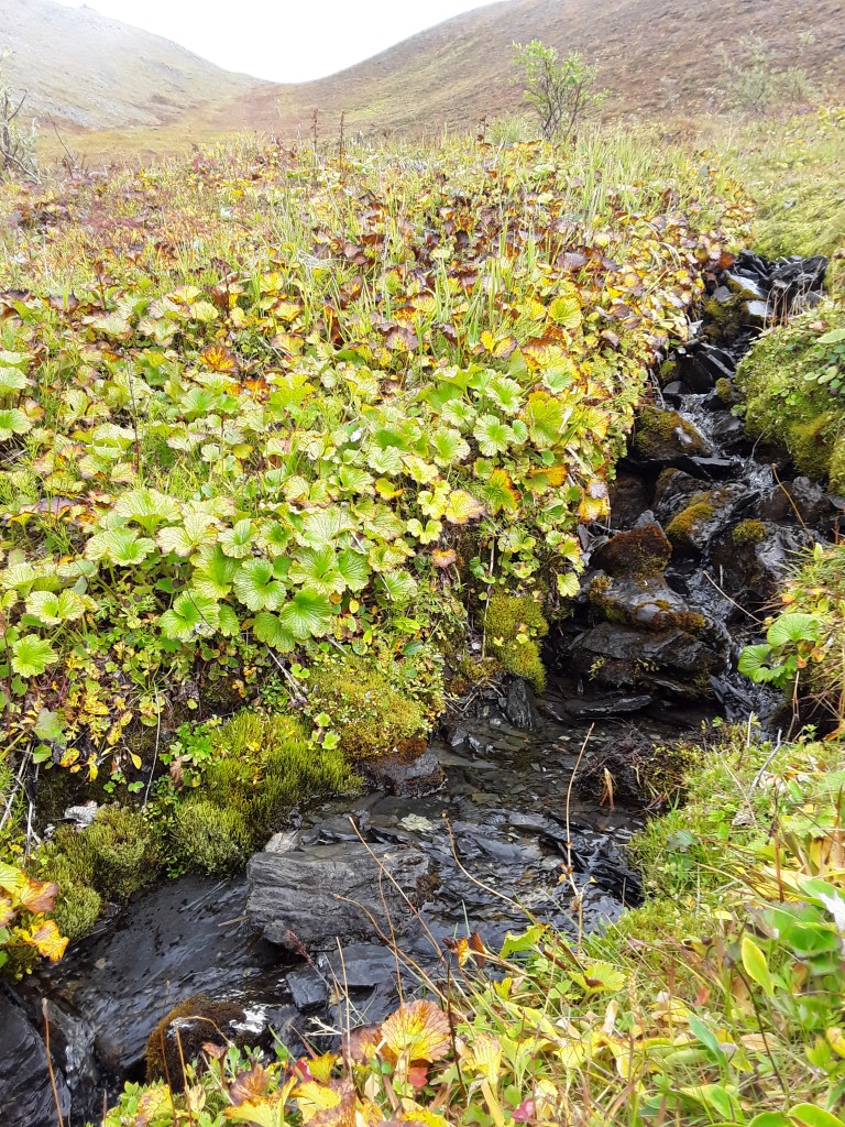
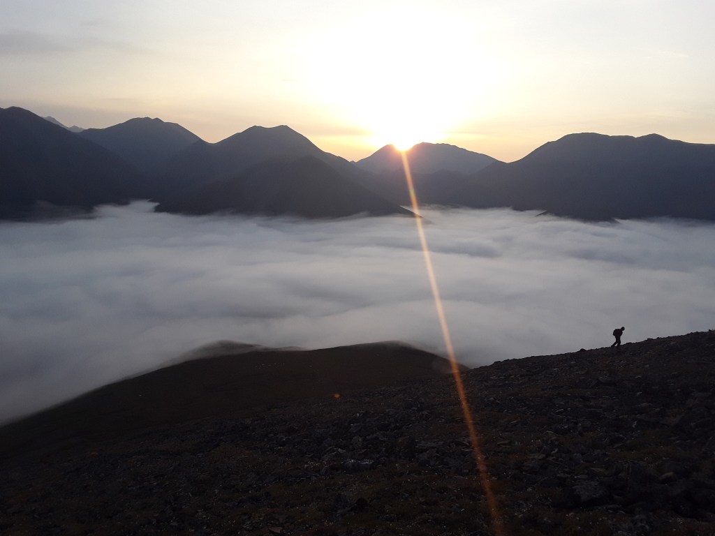
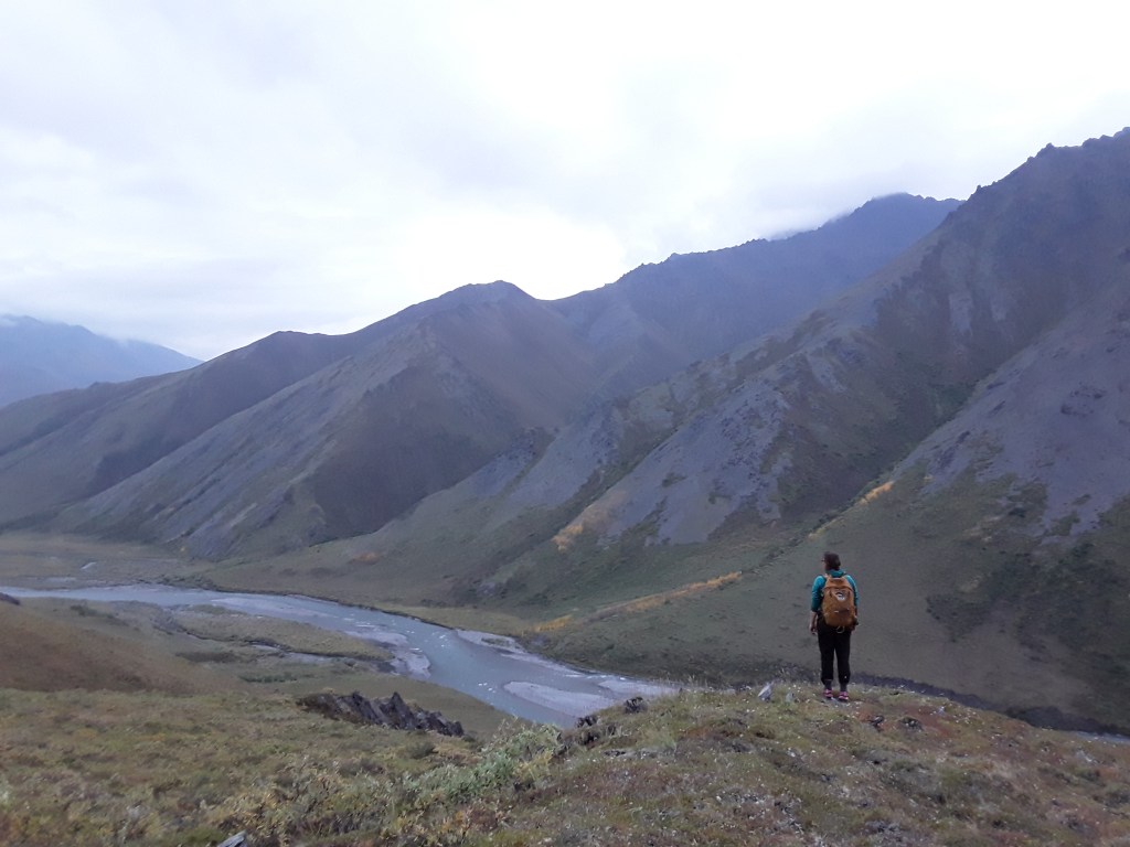
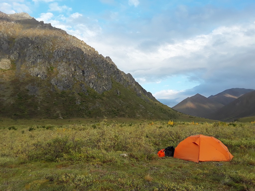
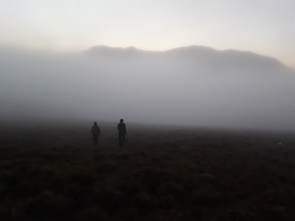
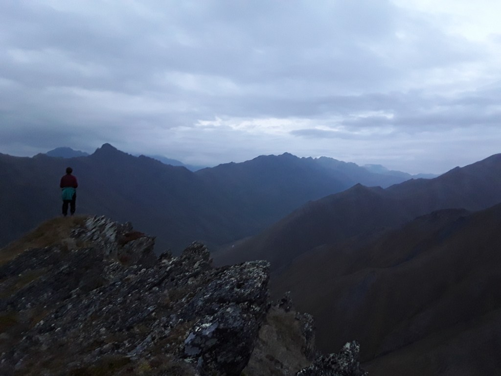
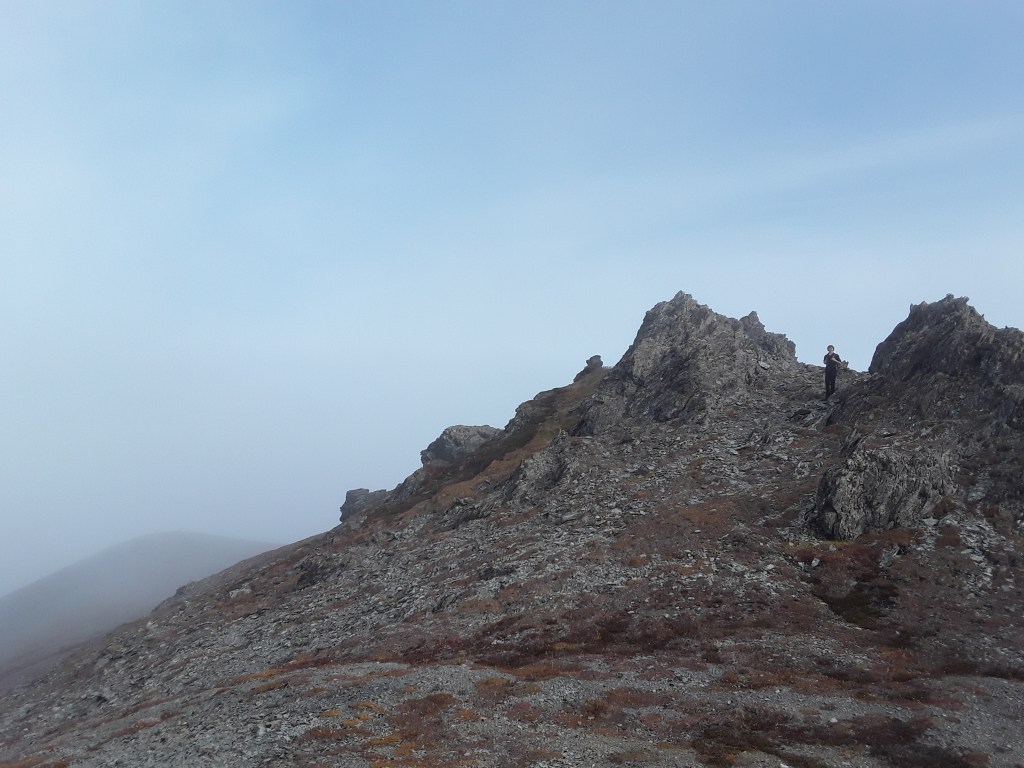
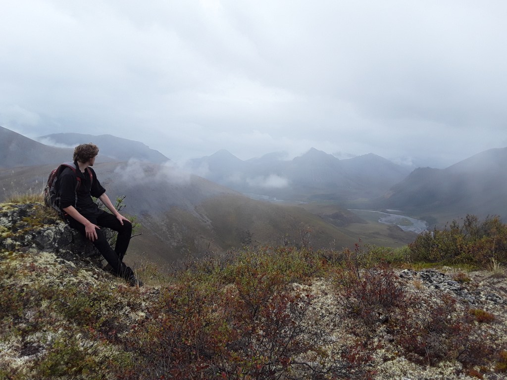
Over the years, my focus in running rivers has shifted somewhat, though not completely. I still love exploring new places by downstream travel in a boat—be it raft, kayak, or canoe. Love being on the water, and the places one can access via waterways. I do love whitewater, and hanging out with like-minded friends that value time spent on rivers. I enjoy the thrill of rapids, and the inspired confidence of experience. But these days, more than anything, I love getting as far away from civilization as possible, for as many days as feasible. I like simplicity in travel plans and travel companions, the spontaneity of last minute forays into the wilderness. I like small groups, or just one partner, and also appreciate the occasional solo expedition. I’m in it for the exploratory nature of the process, for the opportunities to see new places and experience different environments. In it, I hope, for a while longer yet. People often ask me to name a favorite river. The very honest answer: Whichever one I’m on at the time.